
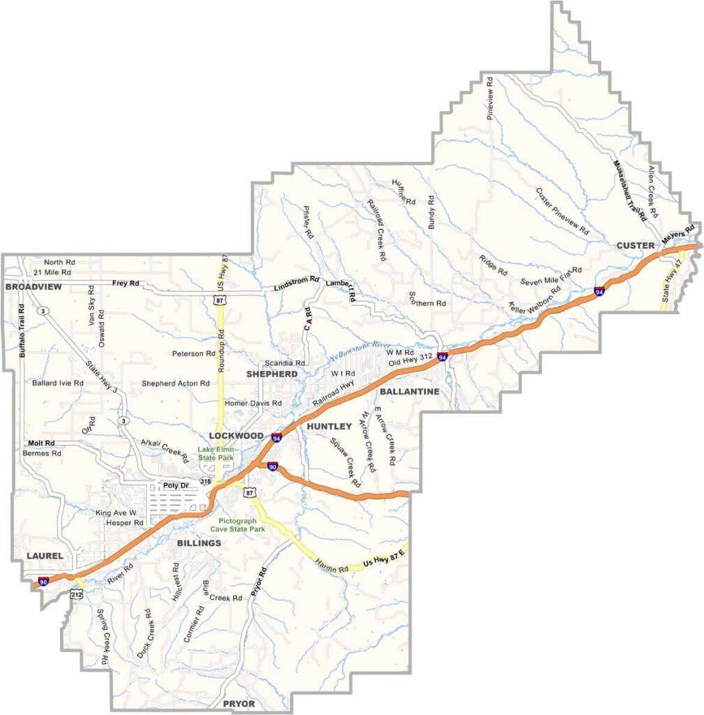
Yellowstone County showcases the wide-open landscapes and natural beauty that make Montana distinctive. Located in the south-central part of the state, the county is shaped by the Yellowstone River, which winds through broad plains and open countryside.
Billings, the county seat and largest city in Montana, serves as the county’s main urban center. Beyond the city, the landscape offers a mix of farmland, rural communities, and rugged outdoor areas, creating a diverse setting for residents and visitors alike.
The Western Heritage Center and Yellowstone County Museum offer a look into the region’s rich history and cultural heritage. Outdoor recreation is also a major part of local life, with opportunities for fishing, mountain biking, and other activities. With the Beartooth Mountains nearby, scenic landscapes and outdoor adventures are never far away.
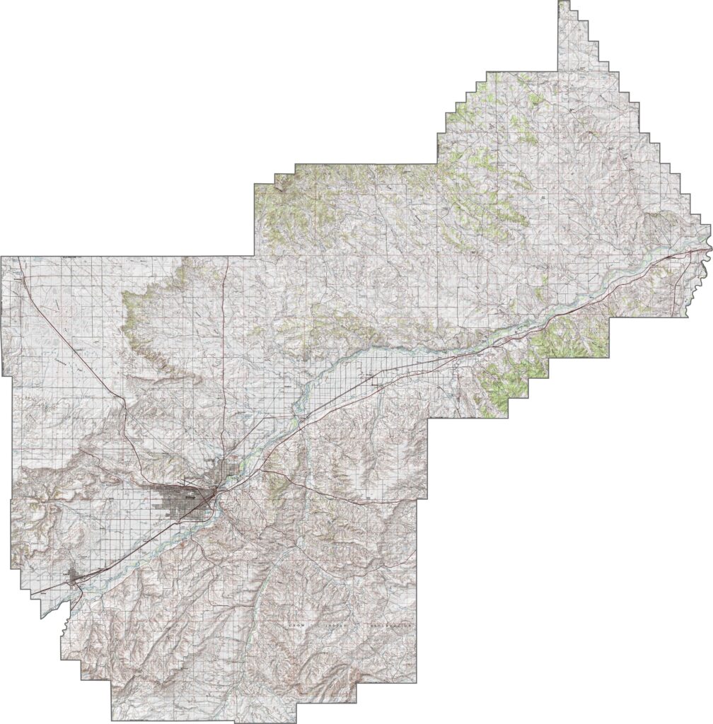
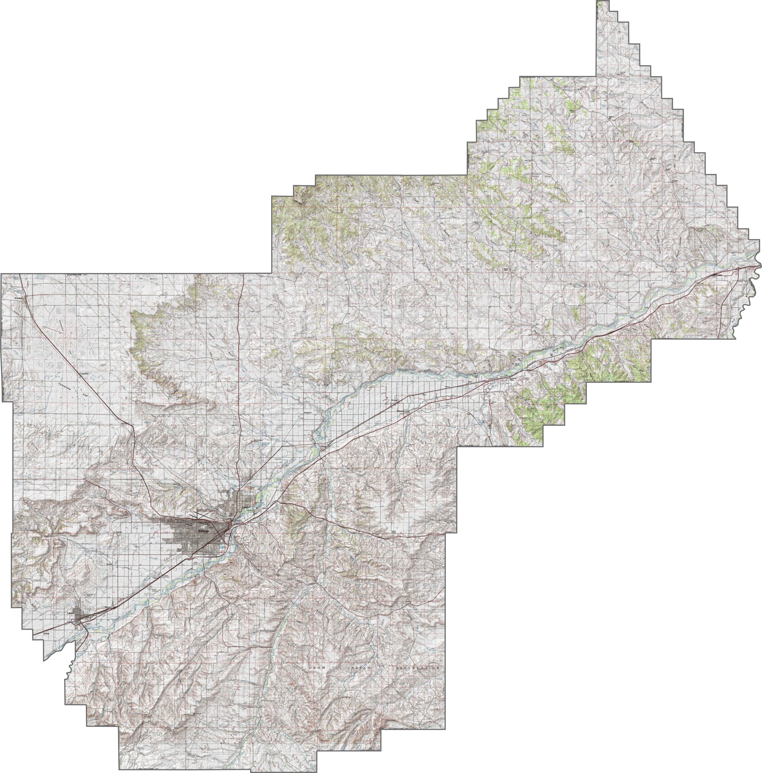
Yellowstone County combines broad open plains with dramatic cliffs and rugged terrain. The Yellowstone River winds through the county, carving a wide valley across the landscape. While much of the terrain consists of gently rolling land, striking sandstone rims and bluffs rise above the surrounding plains in places. Explore these elevation changes in detail with our Yellowstone County topographic map and zoom tool below.
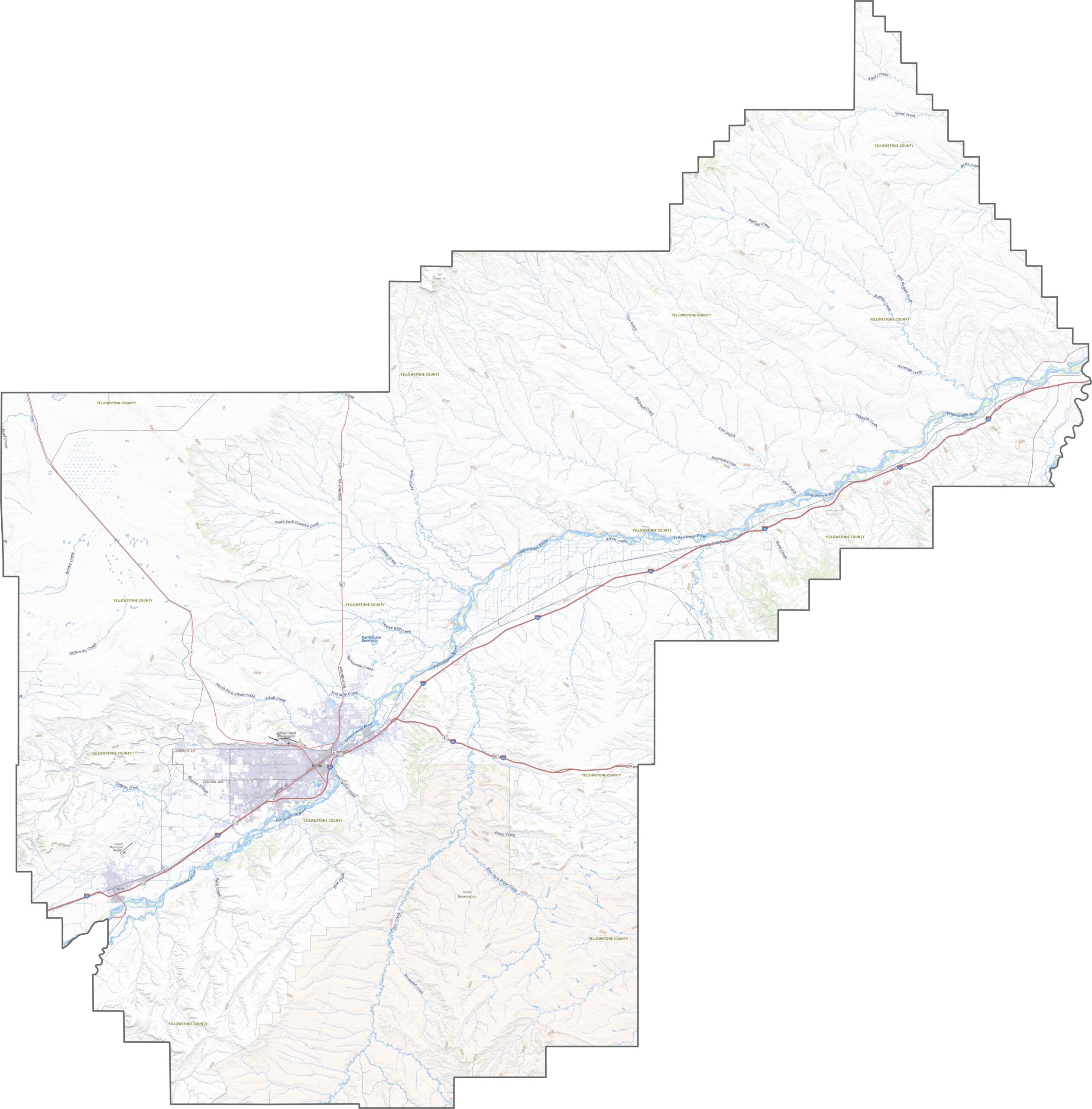
Major routes such as I-90, I-94, and U.S. Highway 212 provide important connections across Yellowstone County. A network of smaller roads branches into surrounding farmland, rural communities, and suburbs, linking local areas to the main highways. Use our Yellowstone County road map and zoom in to explore the major highways, roads, and junctions in greater detail.
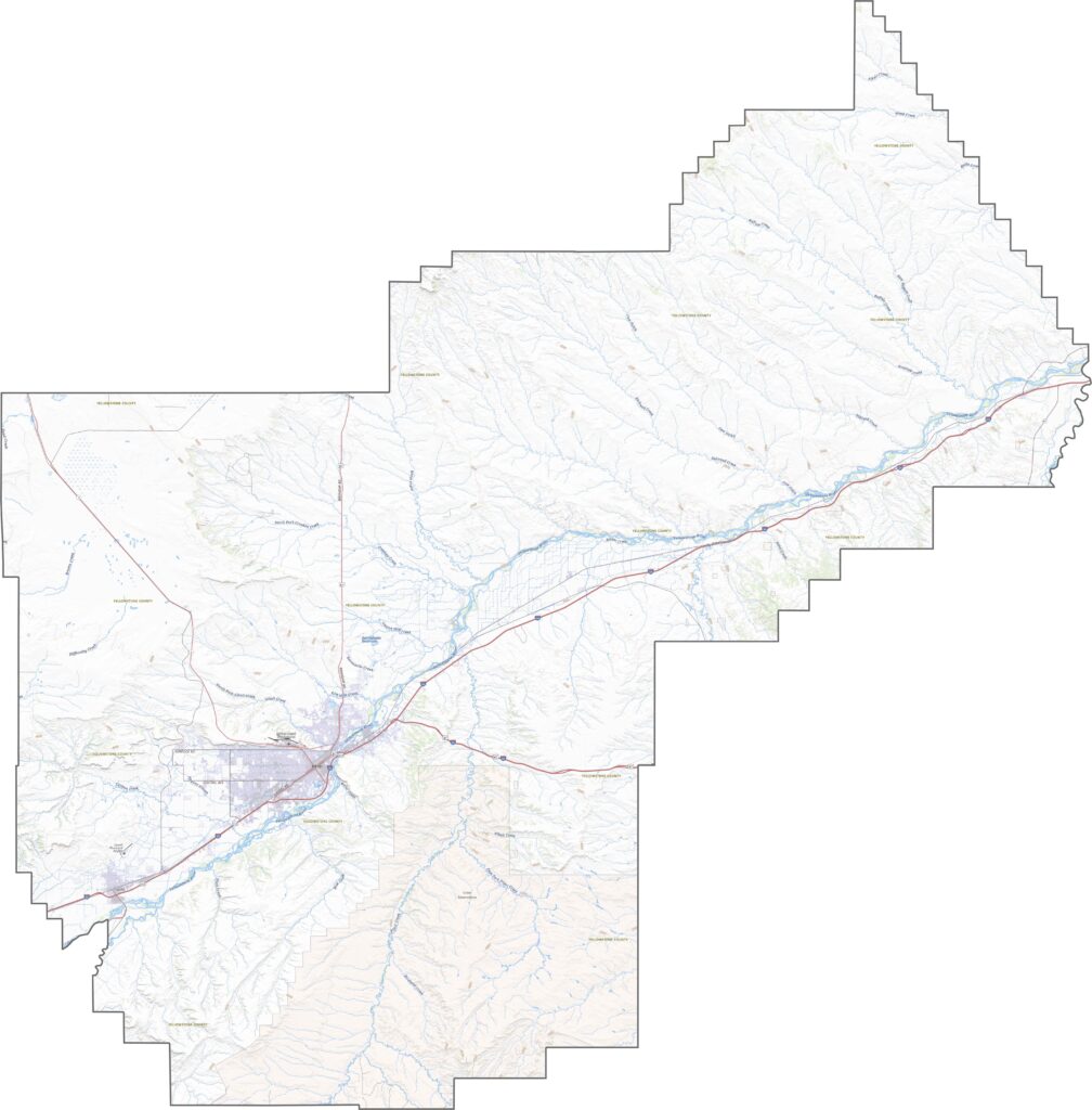
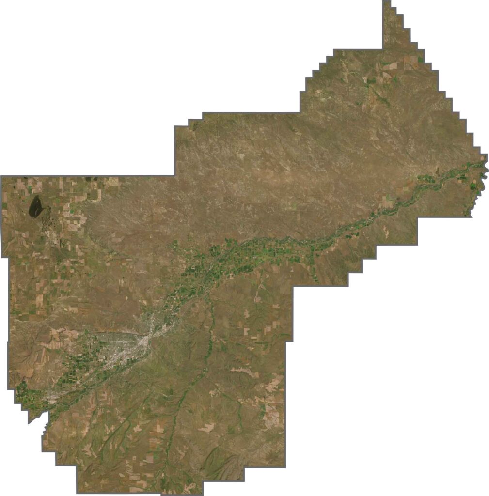
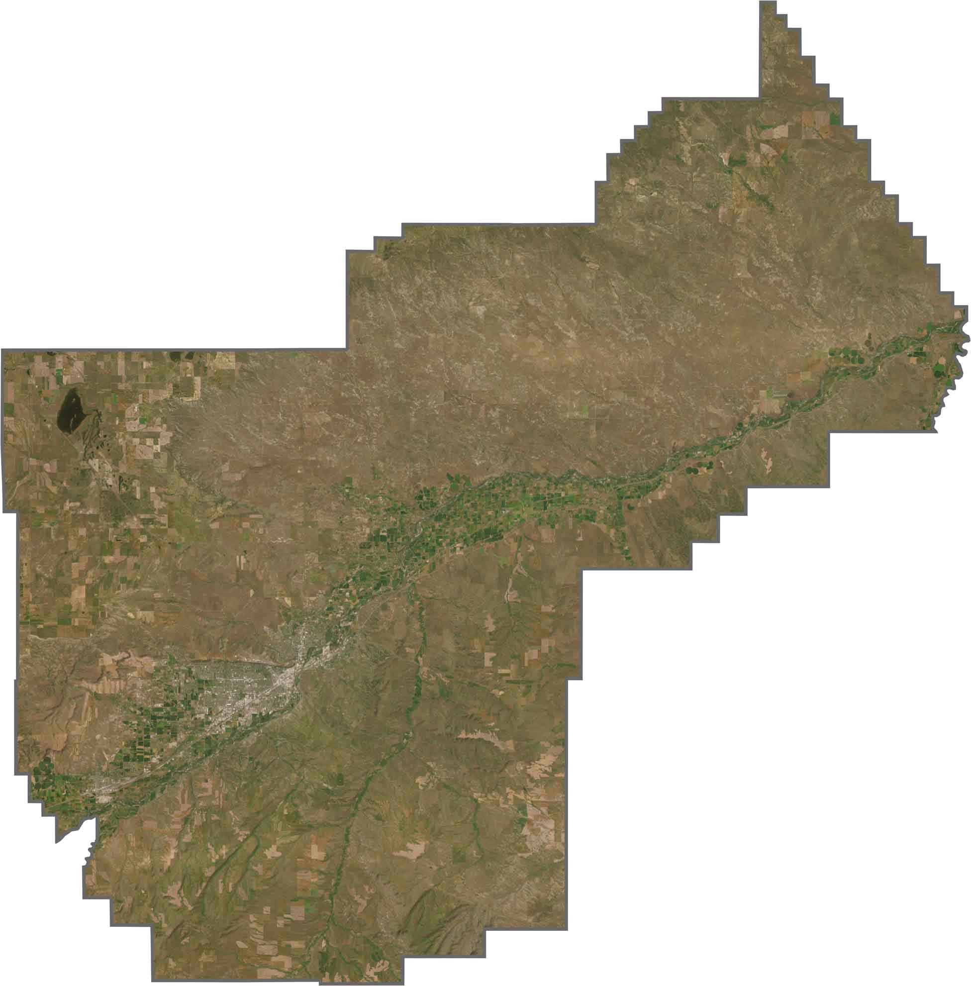
Our Yellowstone County satellite map highlights Billings and its dense network of streets and developed areas. Extensive farmland surrounds the city, while broad stretches of open prairie dominate much of the eastern county. The Yellowstone River creates a prominent winding corridor across the landscape and stands out clearly from above.
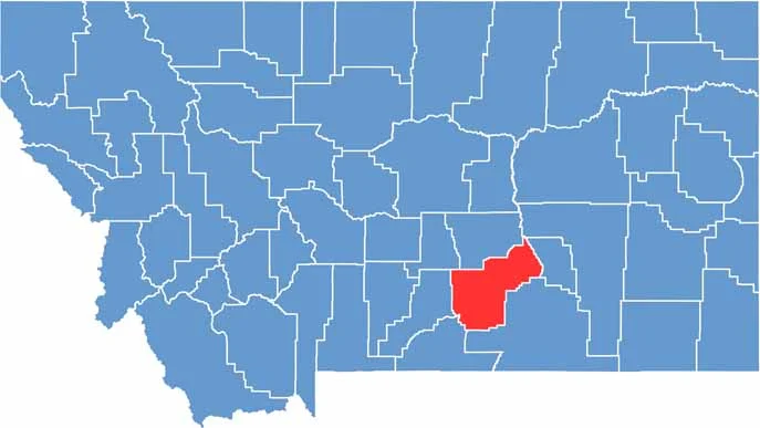
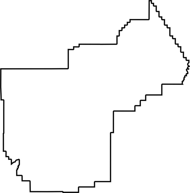
Yellowstone County has a broad, horizontally oriented shape that stretches across south-central Montana. The county shares no state borders, remaining entirely within Montana, with neighboring counties surrounding it on every side.








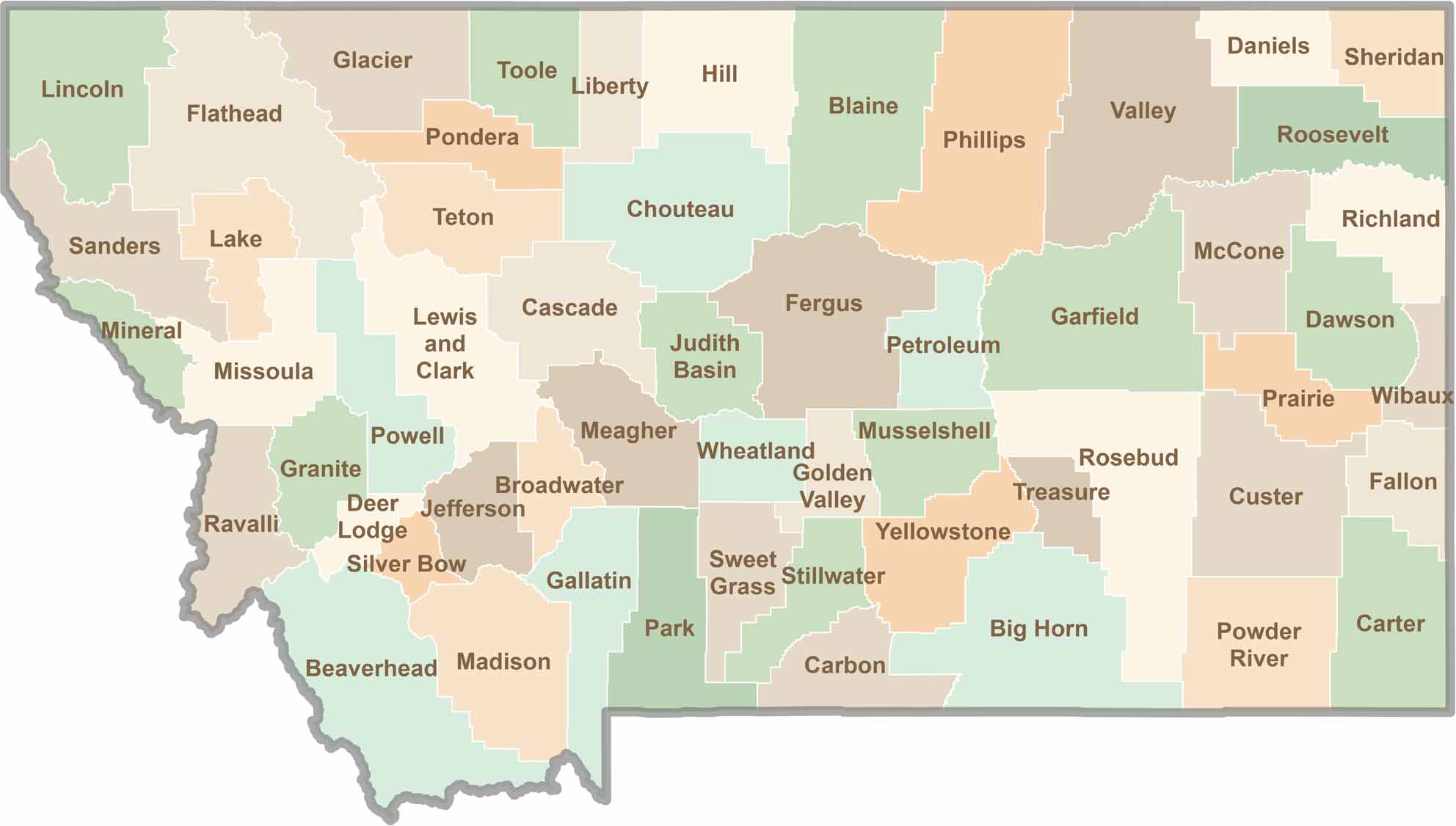
Big skies and wide-open adventures define Montana, where all 56 counties offer their own blend of rugged landscapes, scenic beauty, and Western character. From sweeping plains and mountain ranges to peaceful valleys and remote wilderness, Montana is filled with places to explore.