
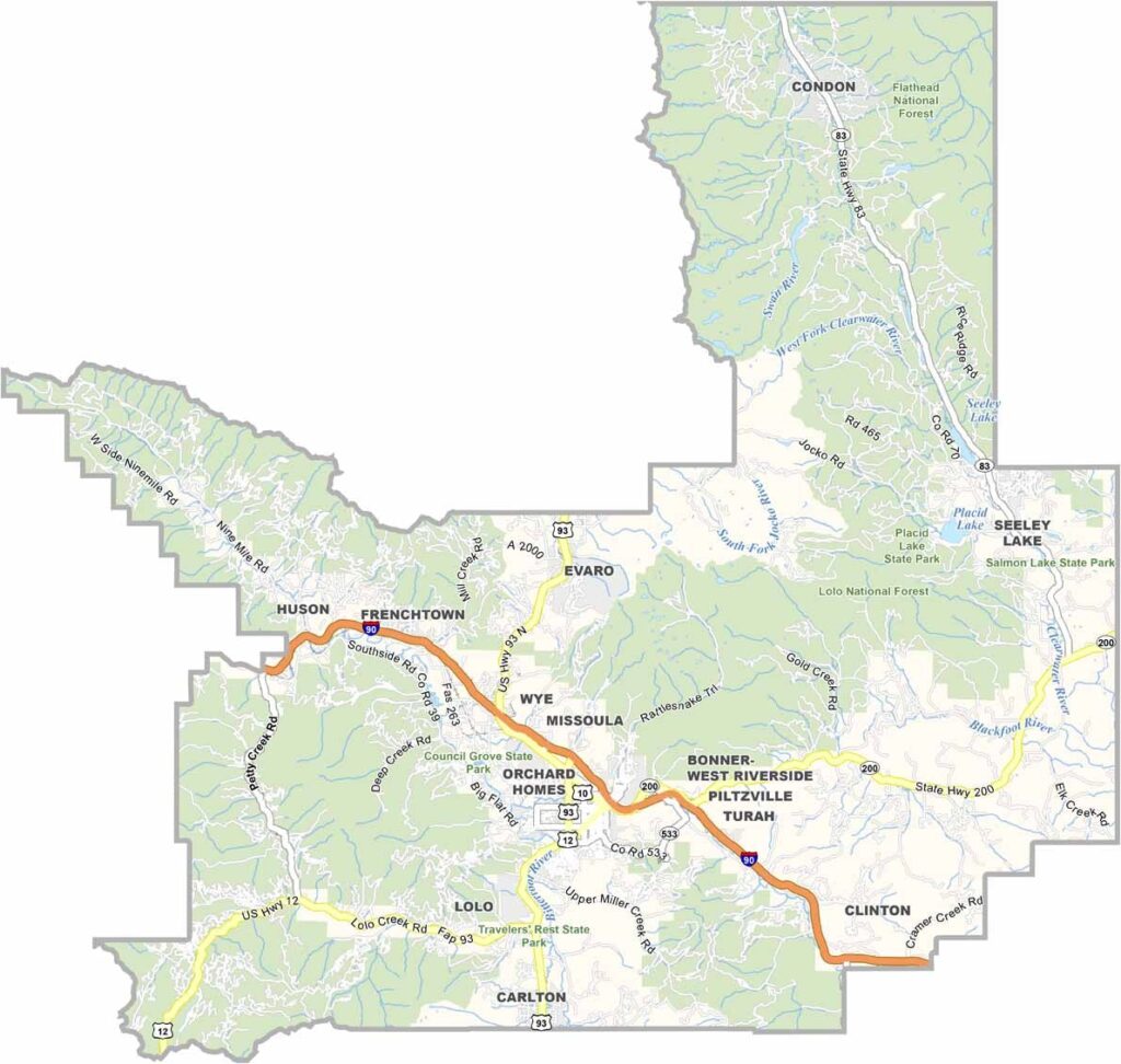
In western Montana, Missoula County is where the mountains meet the minds. It’s home to the University of Montana, which gives the area a lively, hip vibe. Missoula serves as the county seat and is often called the “Garden City.” You’ll see why once spring arrives.
The Clark Fork River runs right through downtown, and on hot days, you might spot locals surfing the man-made wave. Hike in the Rattlesnake Wilderness, ski at Snowbowl, or fish in one of the many blue-ribbon trout streams. For a small city, the food scene here is surprisingly good.
Locals are a mix of old-school Montanans and new-age hippies, somehow living together in perfect harmony. Don’t miss the weekly farmers market, which is as much a social gathering as it is a place to buy fresh vegetables. And keep an eye out for the occasional bear wandering into town. It happens more often than you’d think.
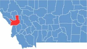
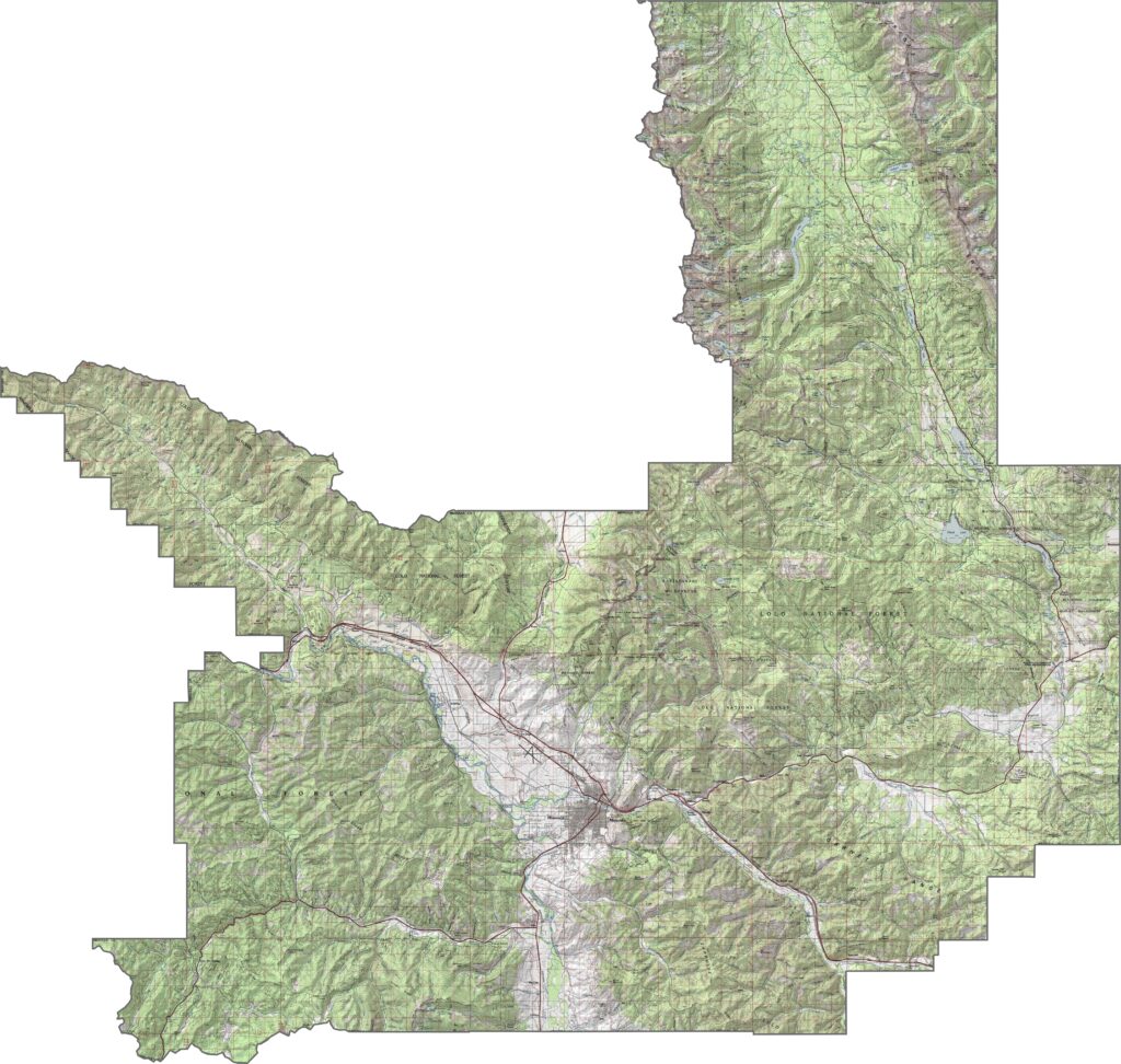
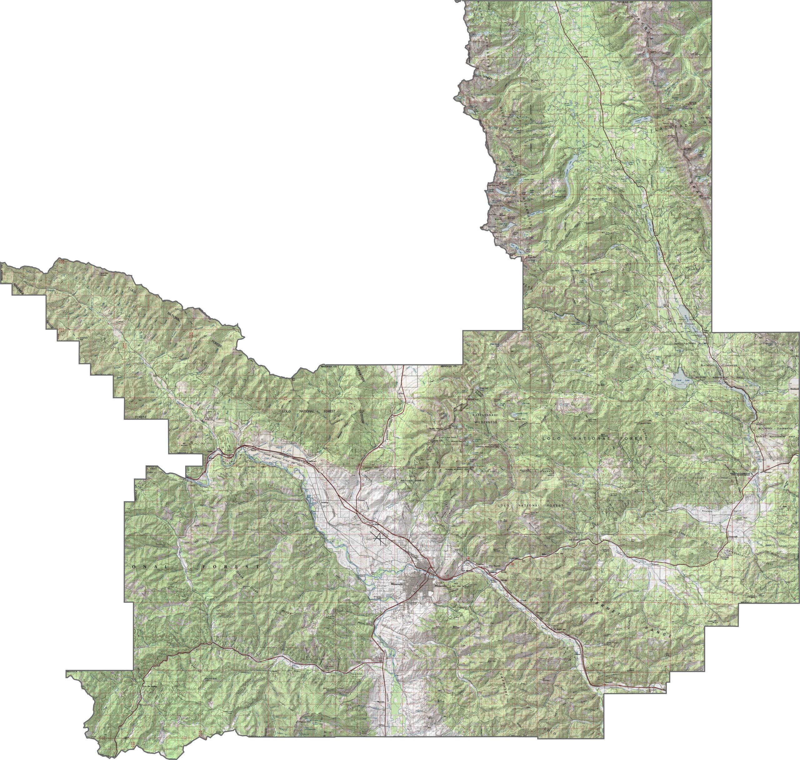
Missoula County is both rugged and relaxed. The Bitterroot Mountains rise sharply along the western side, while the Clark Fork River cuts a deep, winding path through the middle. The city of Missoula sits in a broad valley, with steep hills rising nearby. Elevations change quickly, especially as you travel south or west.
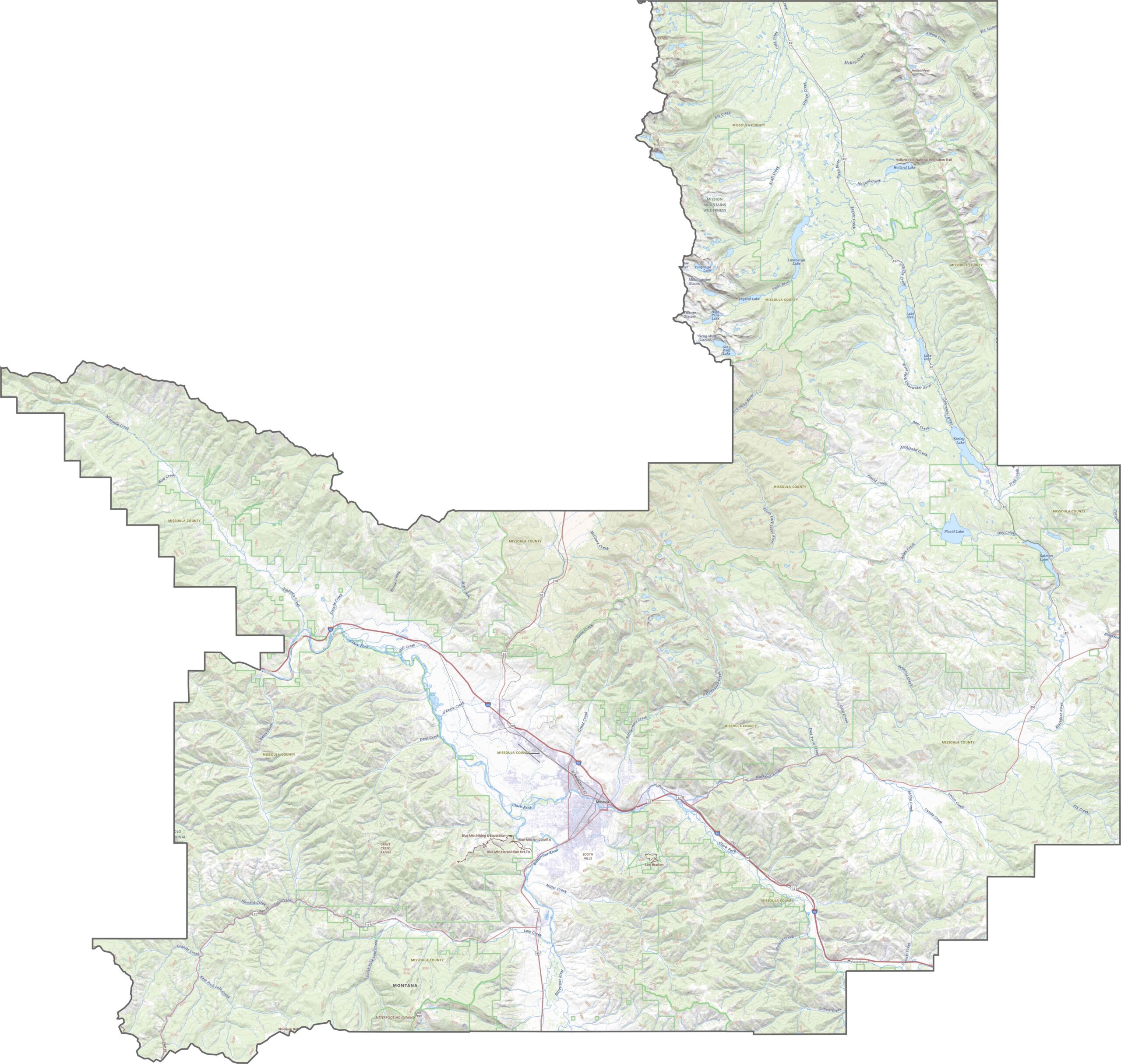
Missoula County has a busy road network around the city and wide-open highways farther out. Interstate 90 runs east to west across the heart of the county. U.S. Highway 93 carries heavy traffic south toward the Bitterroot Valley, but the roads become quieter quickly outside Missoula. Zoom in below to explore Missoula’s road network.
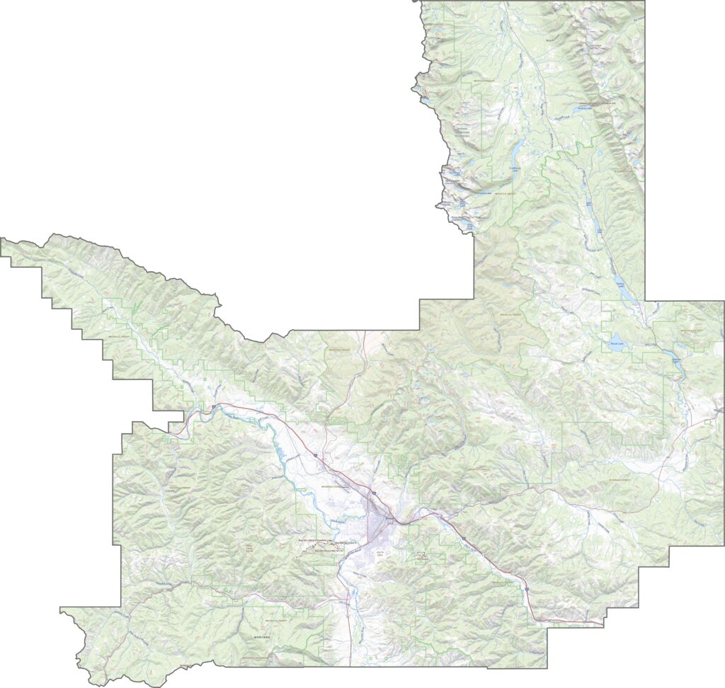
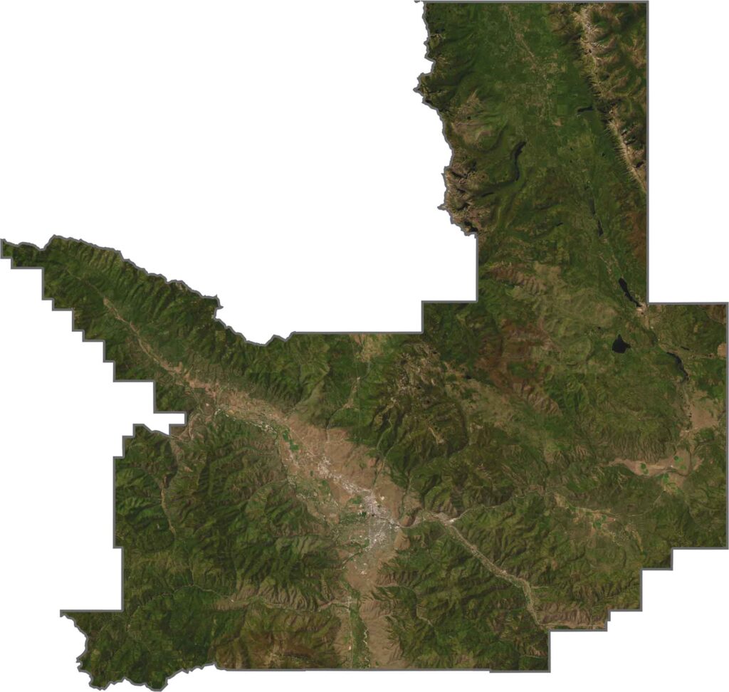
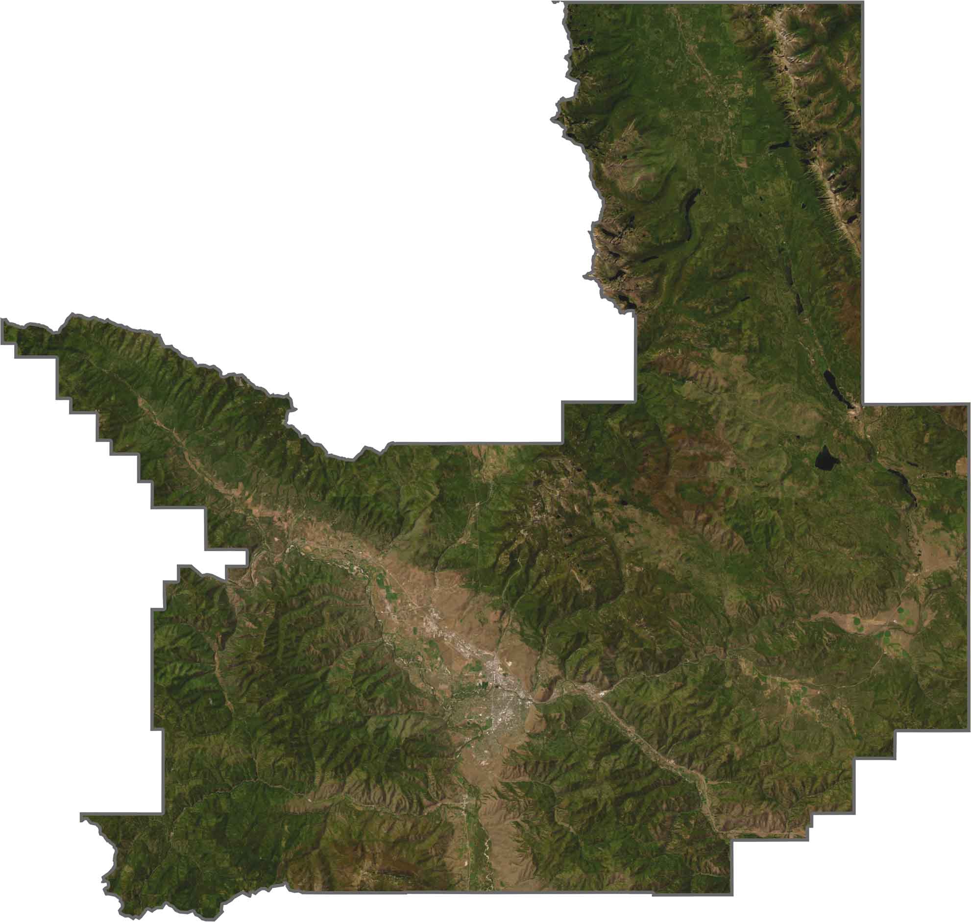
From above, Missoula County looks like a mix of city, forest, and river. The city center appears bright and dense, while green landscapes quickly surround it. Farmland spreads through the valleys, but forests dominate the hills.
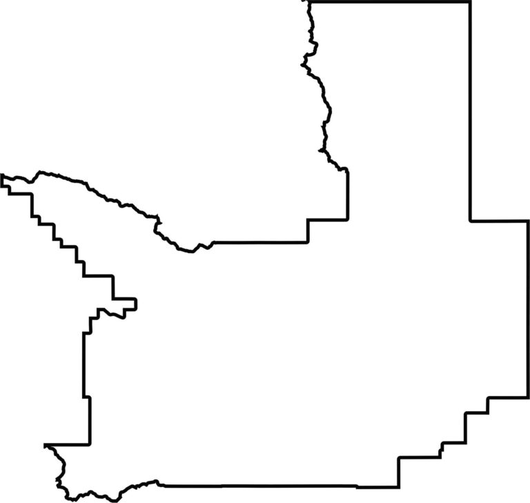
Missoula County has a rough, sprawling shape. It stretches west into the mountains and east into the river valleys, with boundaries that are anything but neat. The county borders Idaho to the southwest.








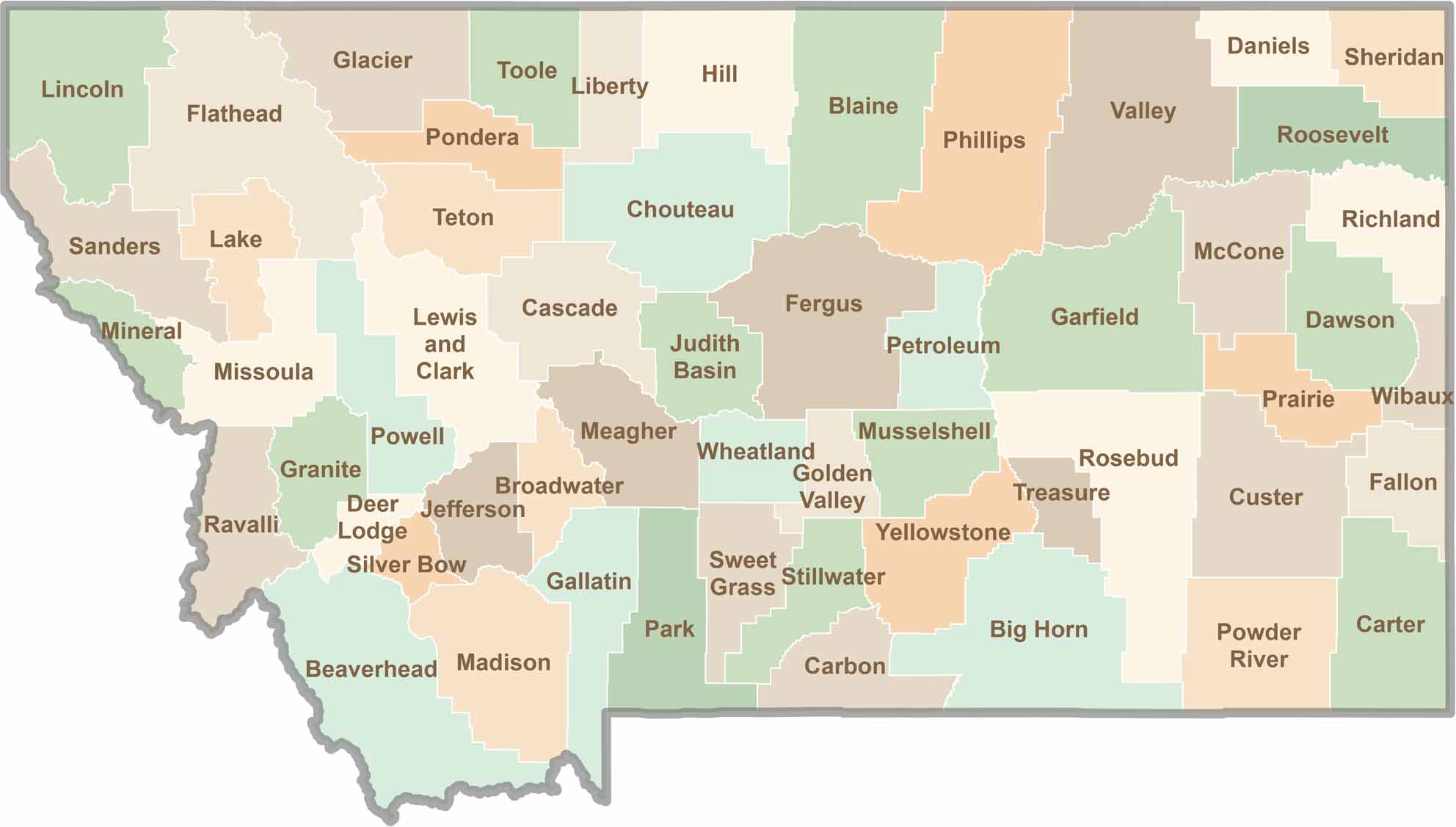
Big skies and wide-open adventures define Montana, where all 56 counties offer their own blend of rugged landscapes, scenic beauty, and Western character. From sweeping plains and mountain ranges to peaceful valleys and remote wilderness, Montana is filled with places to explore.