
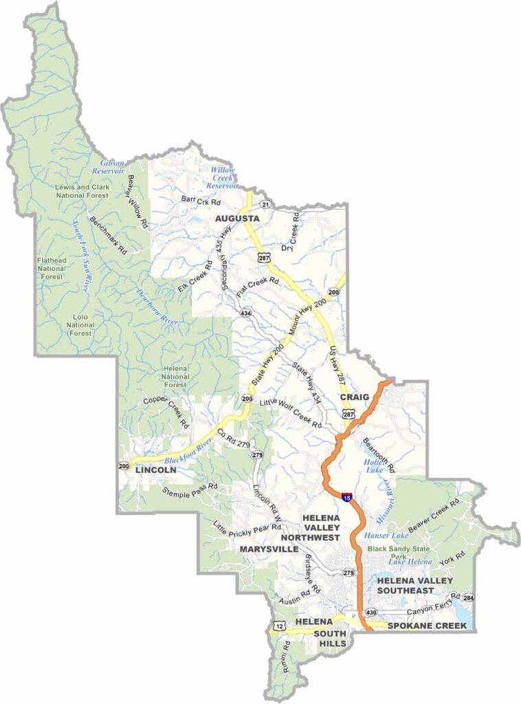
Montana’s capital, Helena, sits at the heart of Lewis and Clark County. Located in the western half of the state, the county is where the plains meet the Rocky Mountains, creating a landscape that’s hard to forget.
The county is named after the famous explorers Lewis and Clark, and they would likely still recognize parts of its rugged terrain. Outdoor adventures are everywhere, from hiking the Continental Divide Trail to fishing in one of the many mountain lakes.
History buffs will enjoy exploring the old gold-mining towns. Helena itself blends Old West charm with modern state politics. Locals swear by the hiking trails on Mount Helena, right within the city limits. And don’t miss the chance to pan for sapphires at Eldorado Bar. Trust me, it’s more fun than it sounds.
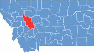
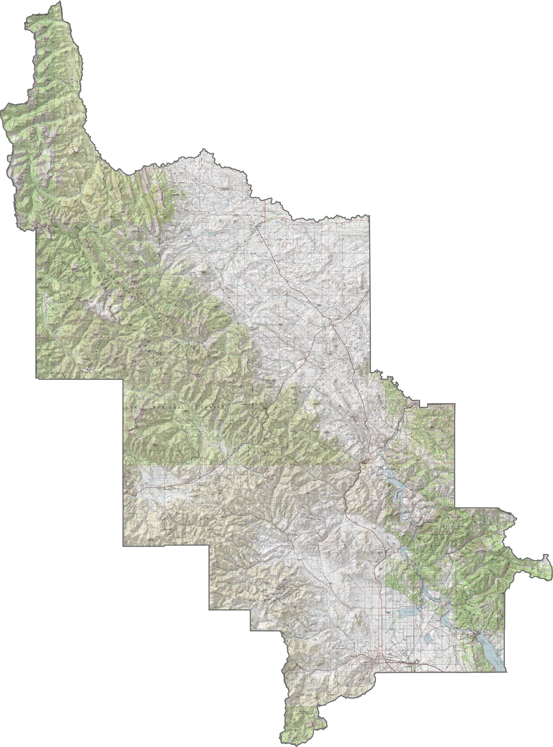
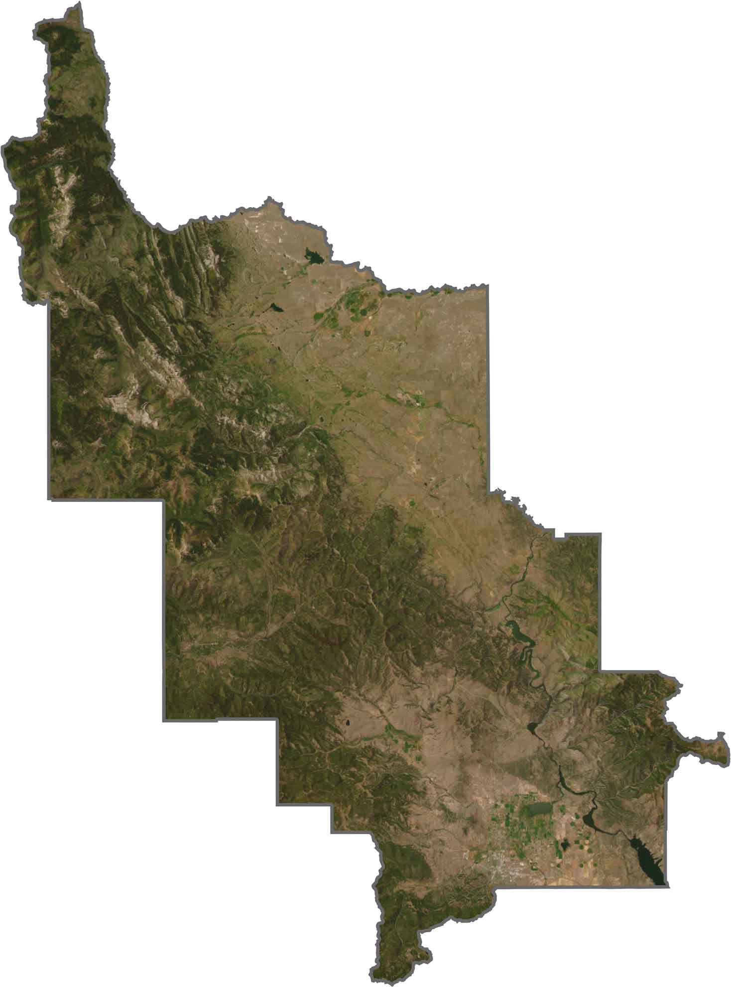
Lewis and Clark County is a land of sharp peaks and broad valleys. Although Helena sits in a sheltered valley, mountains fill the horizon in every direction. The Big Belt and Rocky Mountain ranges rise steeply, squeezing the lowlands between them. Use our zoom tool below to explore all of its contours.
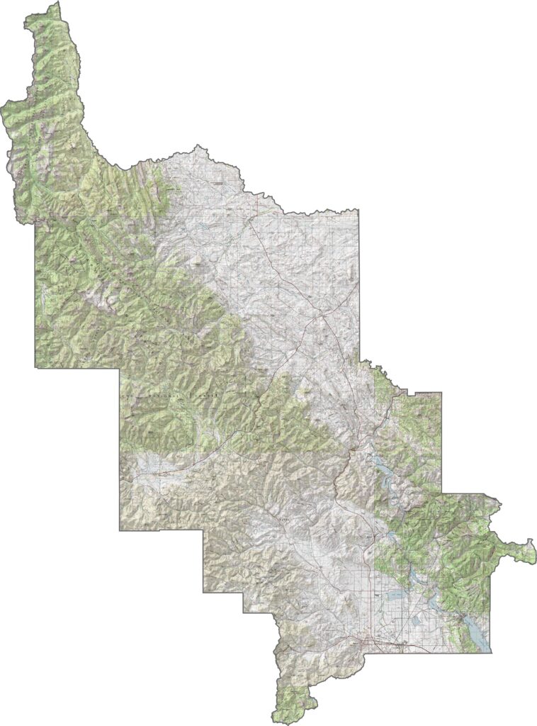
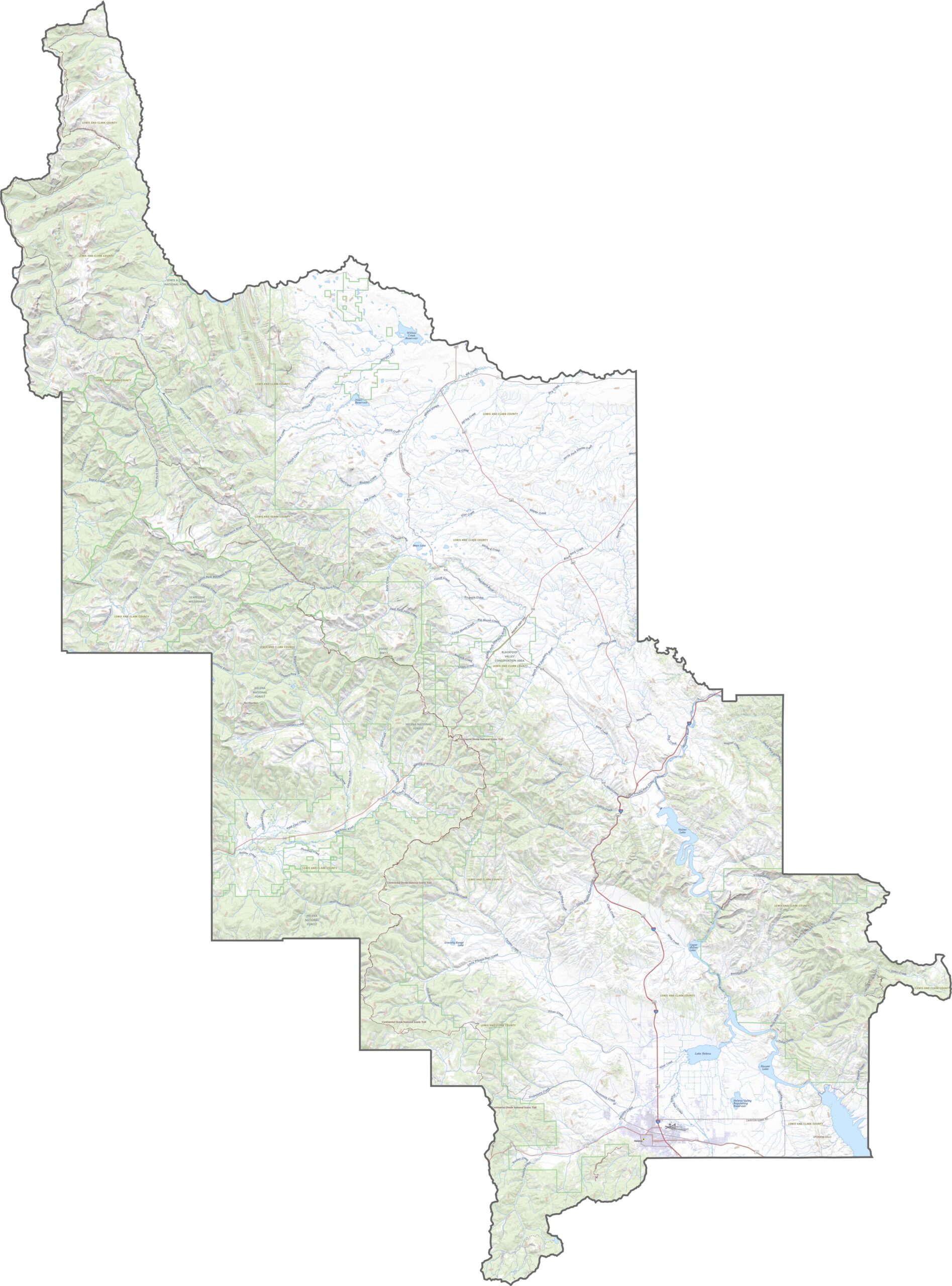
In Lewis and Clark County, highways stretch across the landscape in every direction. Major routes include I-15, U.S. Highway 12, and U.S. Highway 287. Zoom in on our map to see just how far the road network extends.
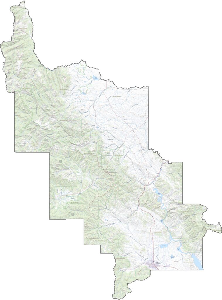
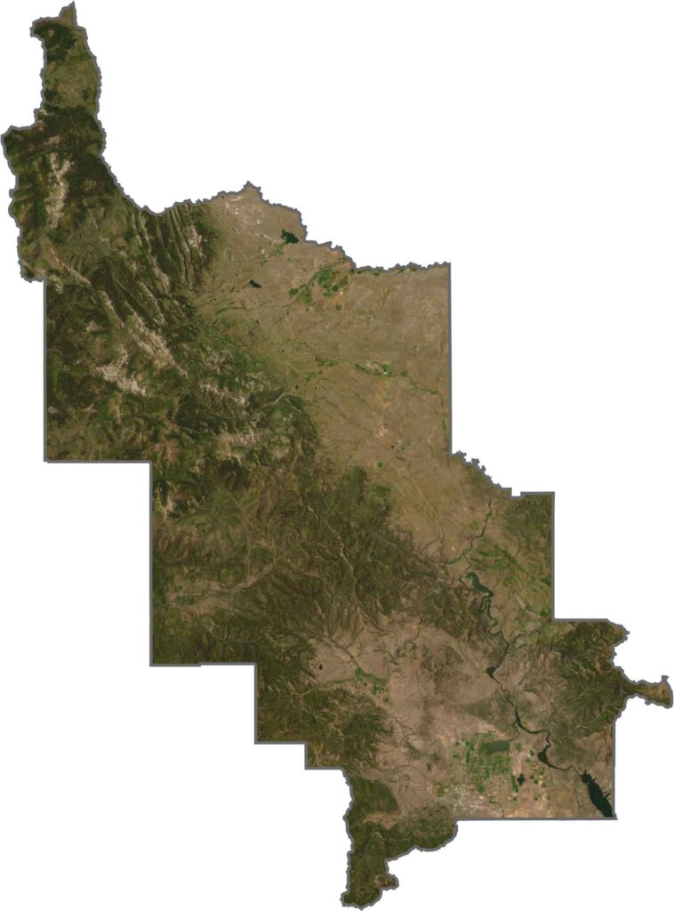
Our Lewis and Clark County map shows a mix of forests, grasslands, and jagged rock formations. Helena stands out with its bright development, but even the city feels small compared with the surrounding wilderness. Rivers wind across the terrain, while much of the landscape remains rugged and rugged-looking.
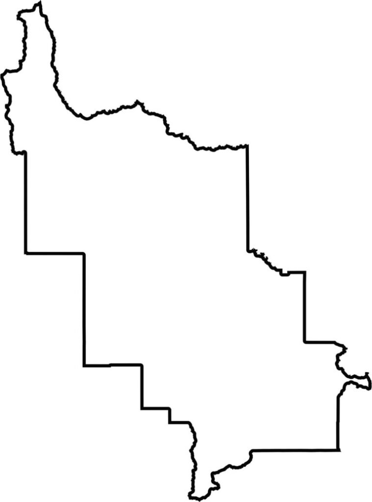
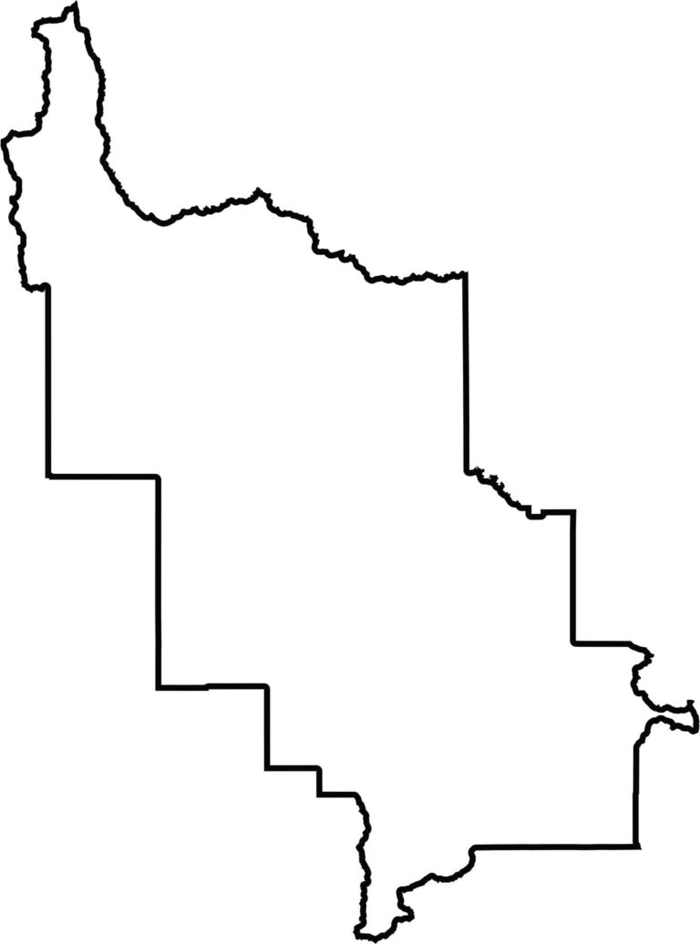
Lewis and Clark County has a rough, blocky shape. Its boundaries combine sharp angles with softer bends, depending on the area. The county is surrounded entirely by other Montana counties.







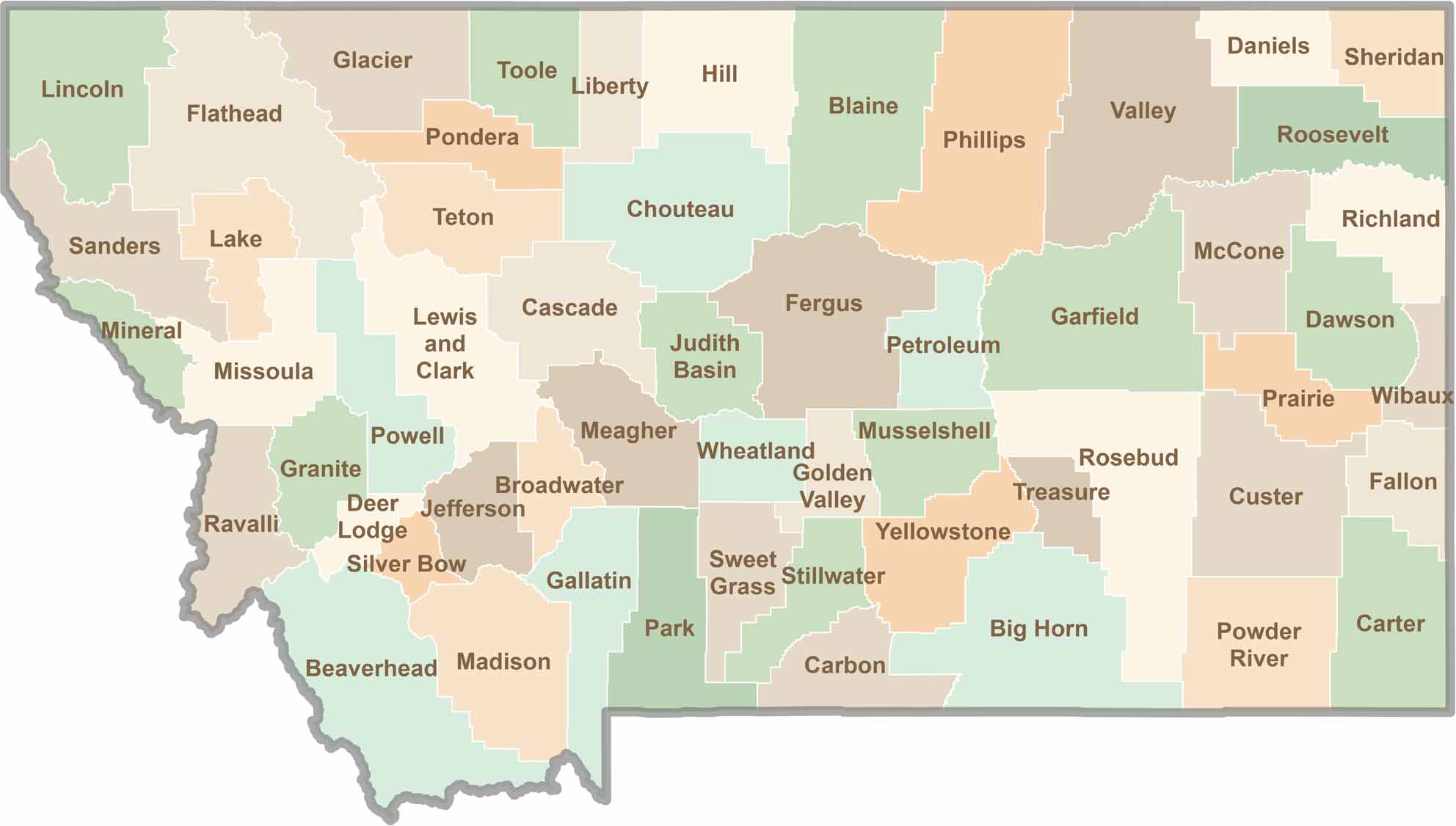
Big skies and wide-open adventures define Montana, where all 56 counties offer their own blend of rugged landscapes, scenic beauty, and Western character. From sweeping plains and mountain ranges to peaceful valleys and remote wilderness, Montana is filled with places to explore.