
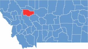
Teton County is located in northwestern Montana, just southeast of Glacier National Park. The Rocky Mountain Front rises to the west, while wide-open prairies stretch across the east.
Choteau serves as the county seat, with the Teton River winding through the area. Dinosaur fossils are a big deal here, and paleontologists come to the region each summer to study them.
Farmers grow wheat and barley across the fertile fields. Despite its harsh climate, the land has a raw beauty that gets under your skin. Teton County is all about big skies, quiet towns, and plenty of room to roam.
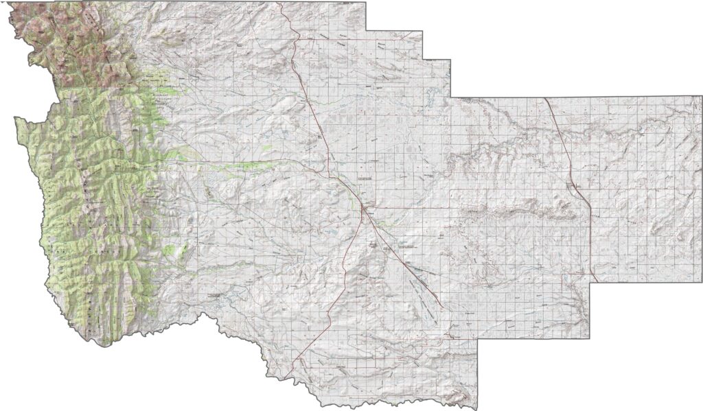
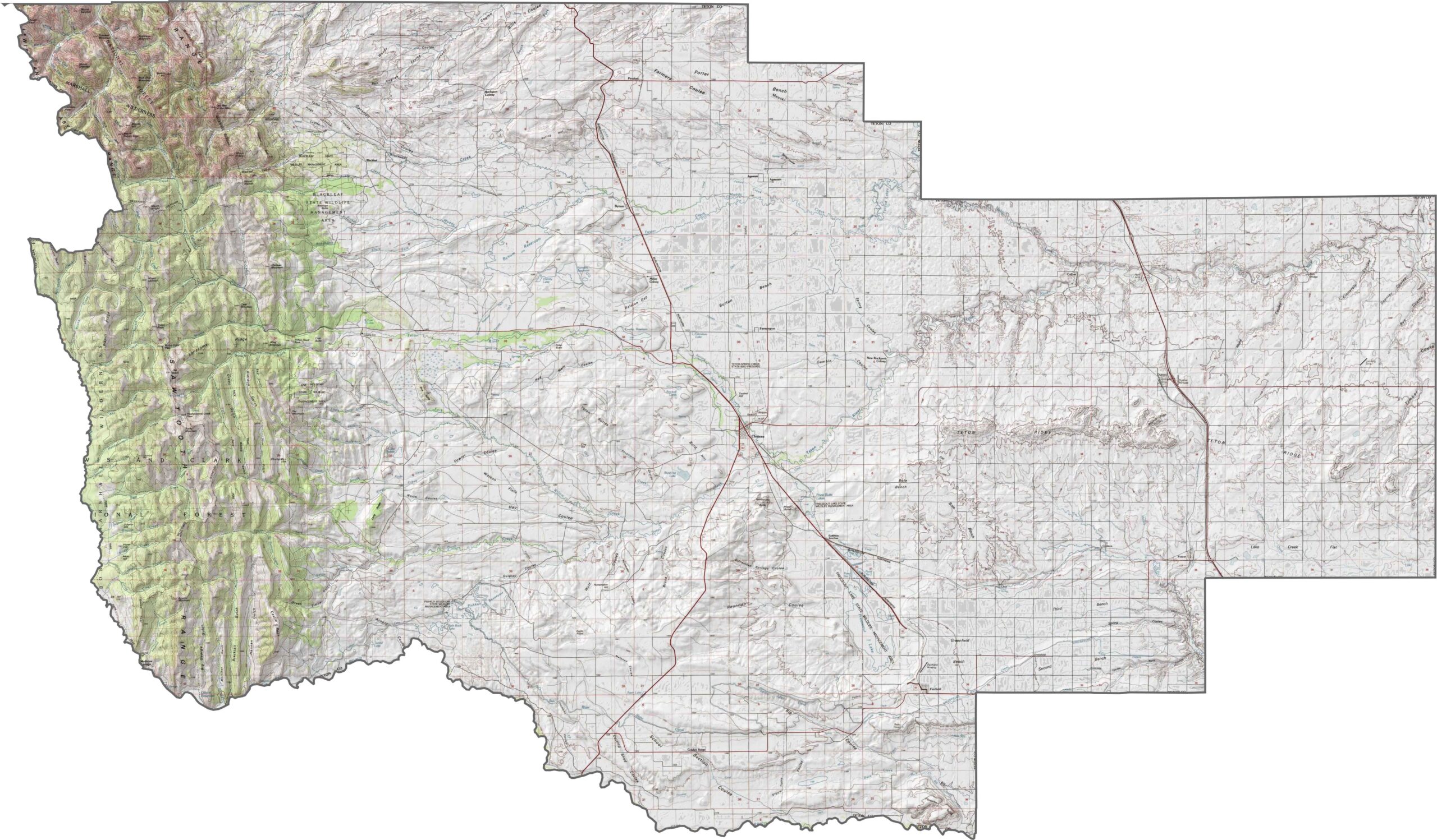
Teton County sits between two very different landscapes. The eastern side opens into endless prairie, while the Rocky Mountain Front towers over the west. Sharp cliffs rise suddenly before giving way to broad valleys beneath the peaks. Ancient rivers and glaciers carved these features, creating a landscape where flat plains and steep mountains meet.
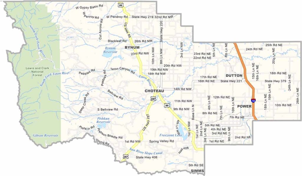
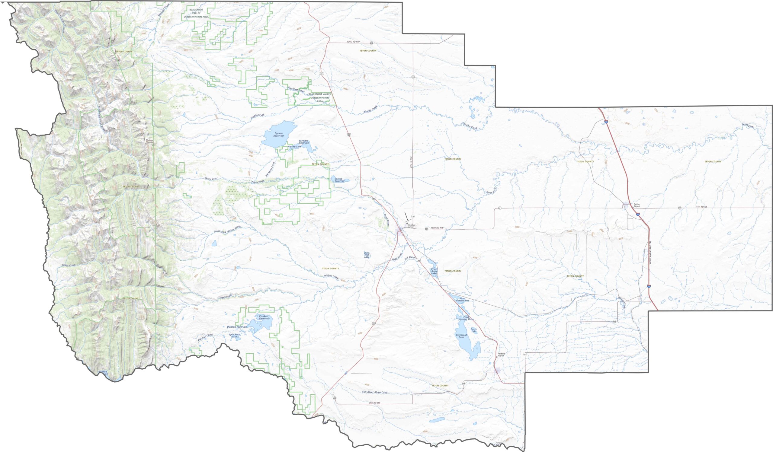
Teton County’s roads mostly follow the natural landscape, which means they run flat, open, and straight for miles. U.S. Highway 89 cuts through the county from south to north, connecting small towns and farms. While most roads are smooth and straightforward, I-15 crosses the eastern section. Try out our zoom tool to get a closer look at Teton County.
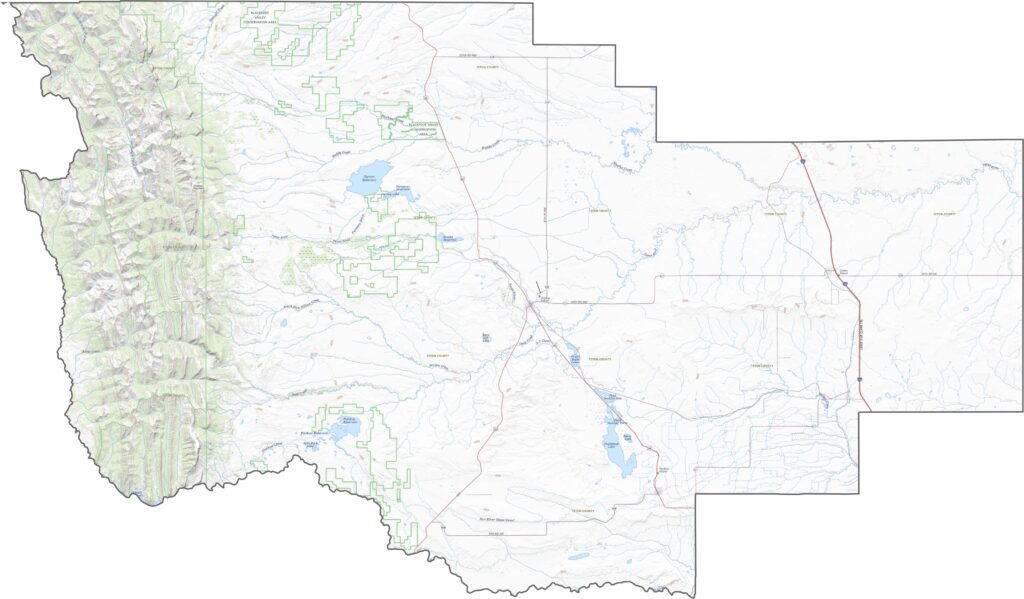
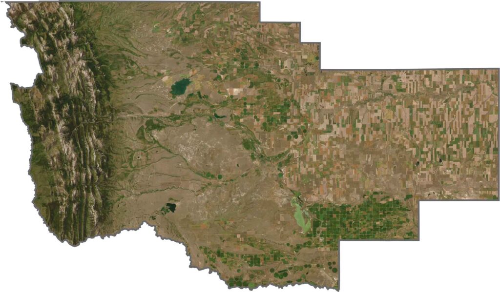
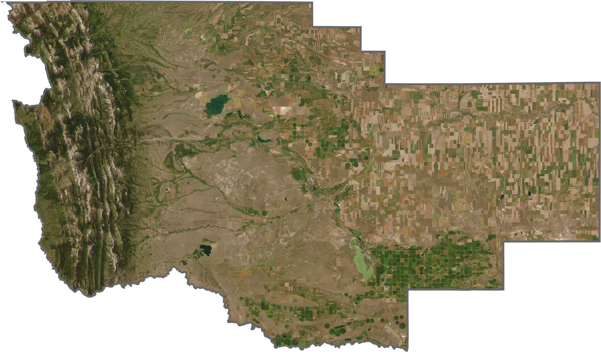
In our satellite map, Teton County changes quickly from east to west. The eastern side is covered with tan and green fields, while the land farther west rises into dark ridges and steep cliffs. Rivers and streams break up the landscape, along with the occasional irrigation pivot. Settlements appear here and there, but nature clearly has the upper hand in Teton County.
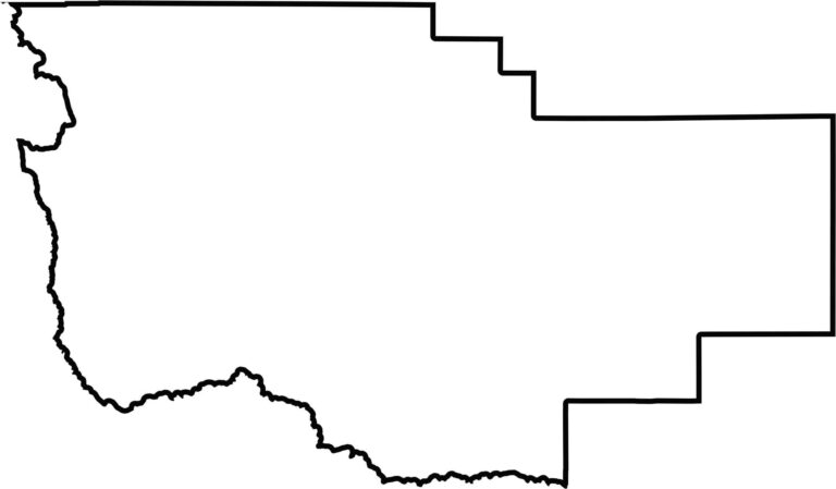
Teton County has a neat, almost boxy shape at first glance, with clean eastern and northern boundaries. The western border, however, becomes a wild zigzag through the mountains. The Sun River forms part of its southern boundary. Teton County lies entirely within Montana and does not border another state.








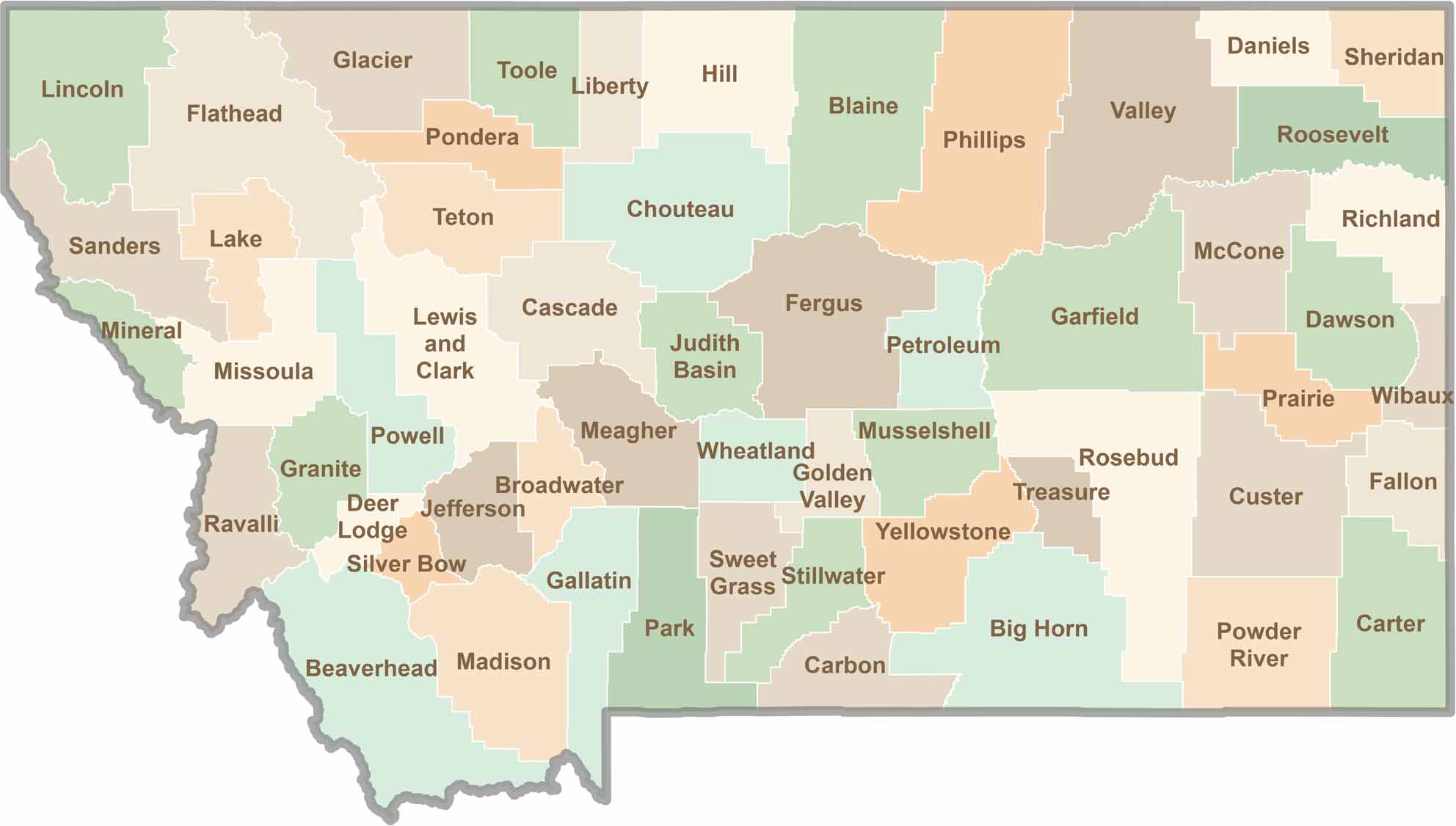
Big skies and wide-open adventures define Montana, where all 56 counties offer their own blend of rugged landscapes, scenic beauty, and Western character. From sweeping plains and mountain ranges to peaceful valleys and remote wilderness, Montana is filled with places to explore.