
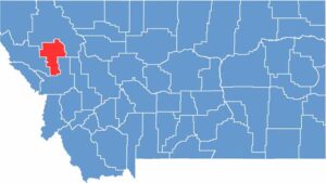
Lake County is located in western Montana. It takes its name from Flathead Lake, the largest natural freshwater lake west of the Mississippi. This county is perfect for anyone who loves the water. You can fish, go boating, or simply relax along the shoreline.
The Mission Mountains rise to the east, with peaks that often remain snow-capped even during summer. People here are friendly and laid-back. You might even spot a few celebrities who have purchased ranches in the area, although they tend to keep a low profile.
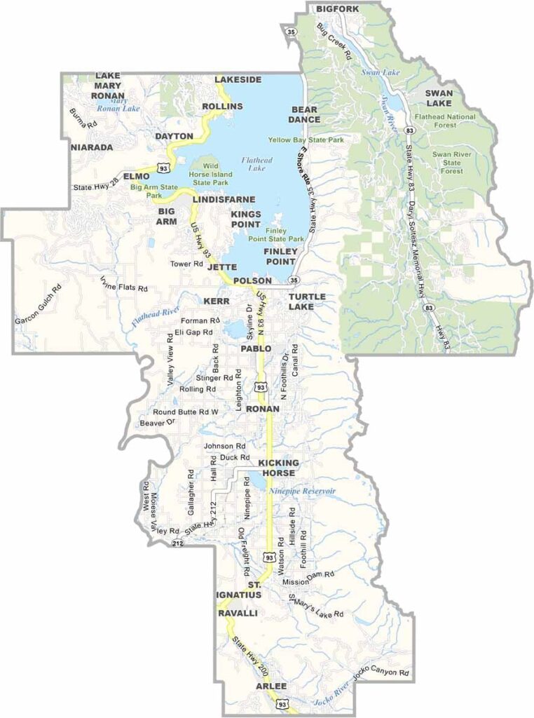
Polson serves as the county seat and is a small town with a big heart. It sits along the southern shore of Flathead Lake. If you’re interested in history, check out the Miracle of America Museum, which is packed with quirky pieces of Americana.
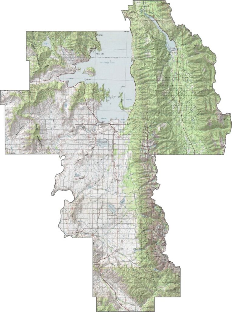
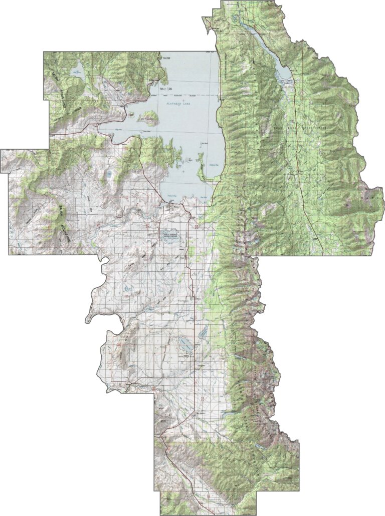
Lake County gets its name for a reason. Flathead Lake dominates the landscape, stretching across the northern part of the county. But there’s more than water here, with rolling hills and forested ridges filling the spaces between towns.
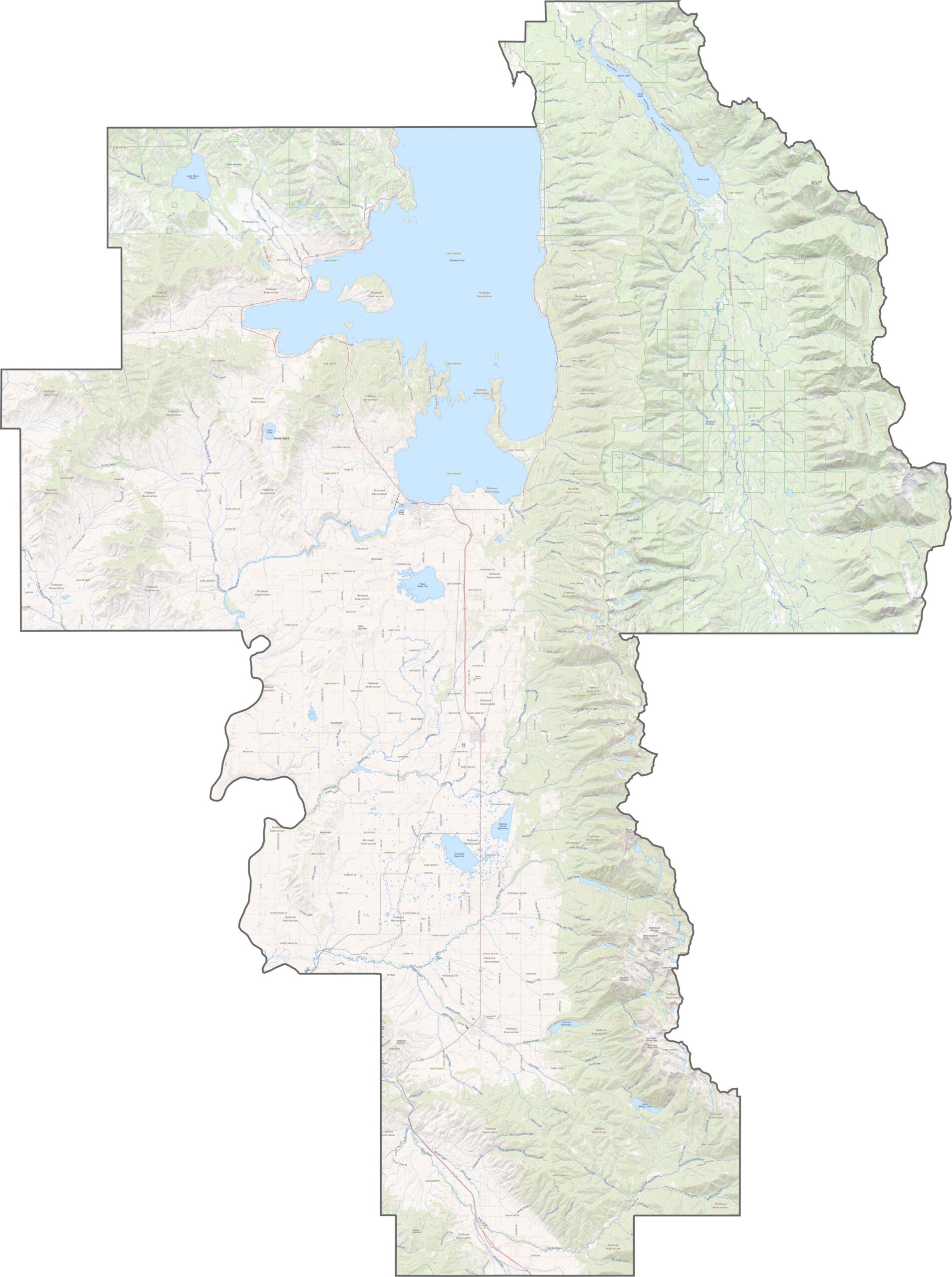
Roads in Lake County wind around water, forests, and farmland. U.S. Highway 93 runs north to south through the heart of the county, following the western side of Flathead Lake. While it’s the main thoroughfare, Montana Highway 35 offers a slower, more scenic route along the eastern shore.
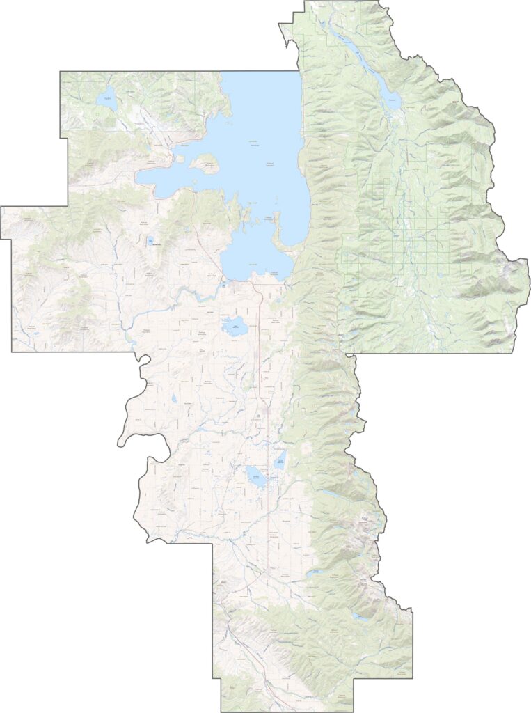
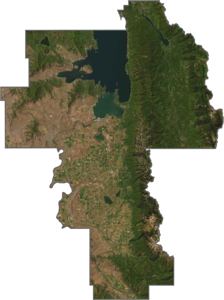
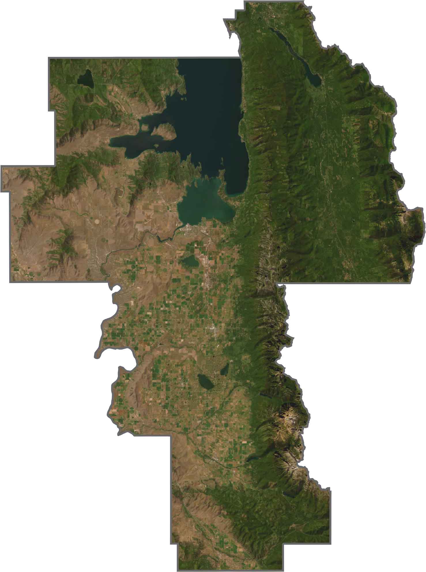
From above, Lake County stands out with bright blue water and deep green landscapes. Flathead Lake naturally commands attention, while farmland covers the lower valleys and breaks up the forests. Around the edges, rugged hills fade into the shadows.
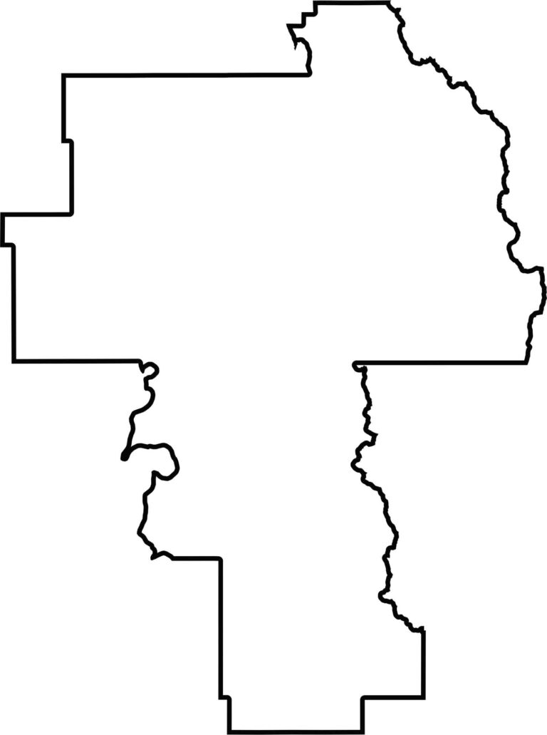
Lake County stretches mainly from north to south. It lies entirely within Montana and is bordered by other Montana counties on every side.







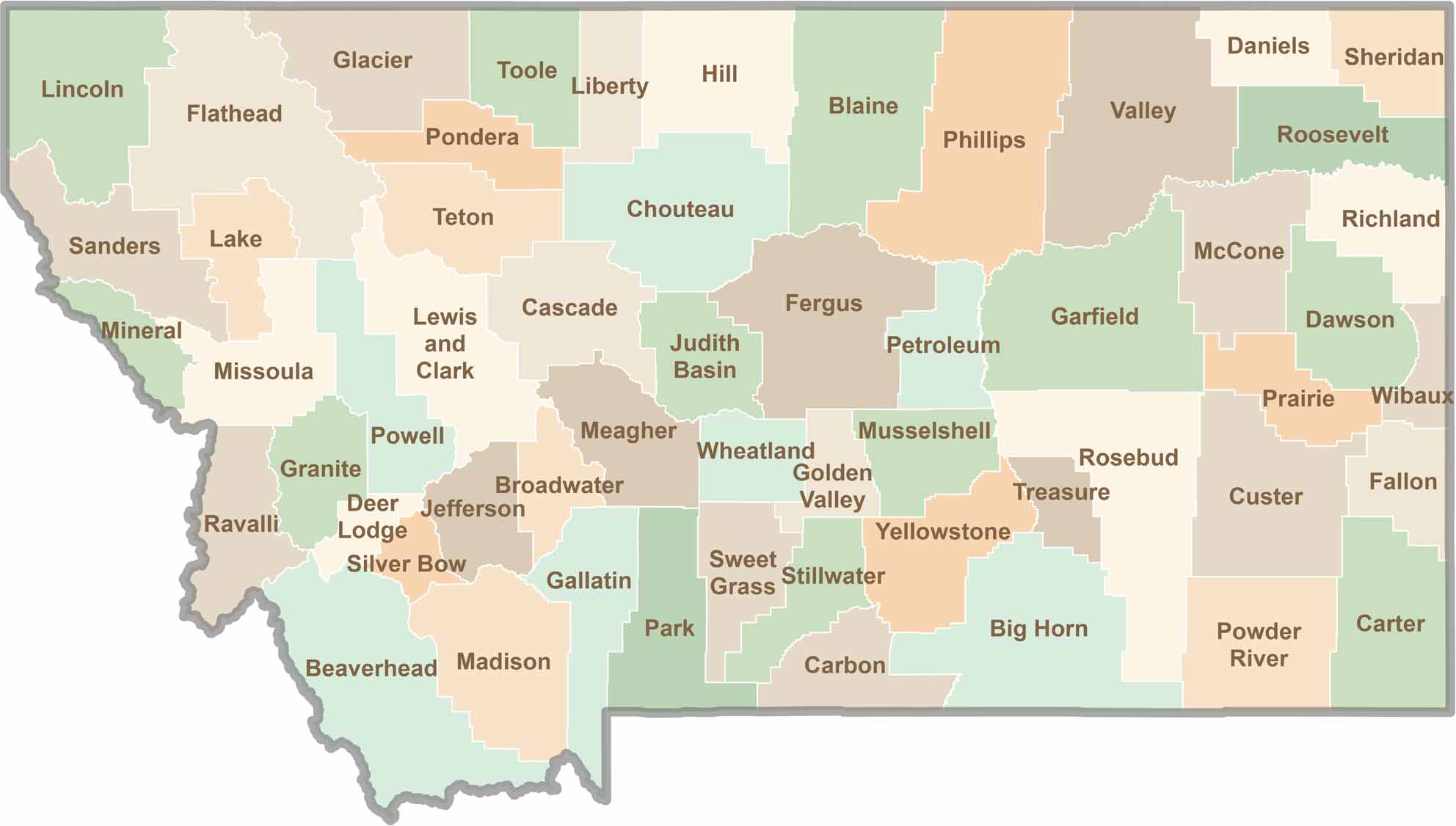
Big skies and wide-open adventures define Montana, where all 56 counties offer their own blend of rugged landscapes, scenic beauty, and Western character. From sweeping plains and mountain ranges to peaceful valleys and remote wilderness, Montana is filled with places to explore.