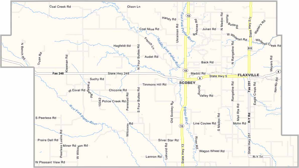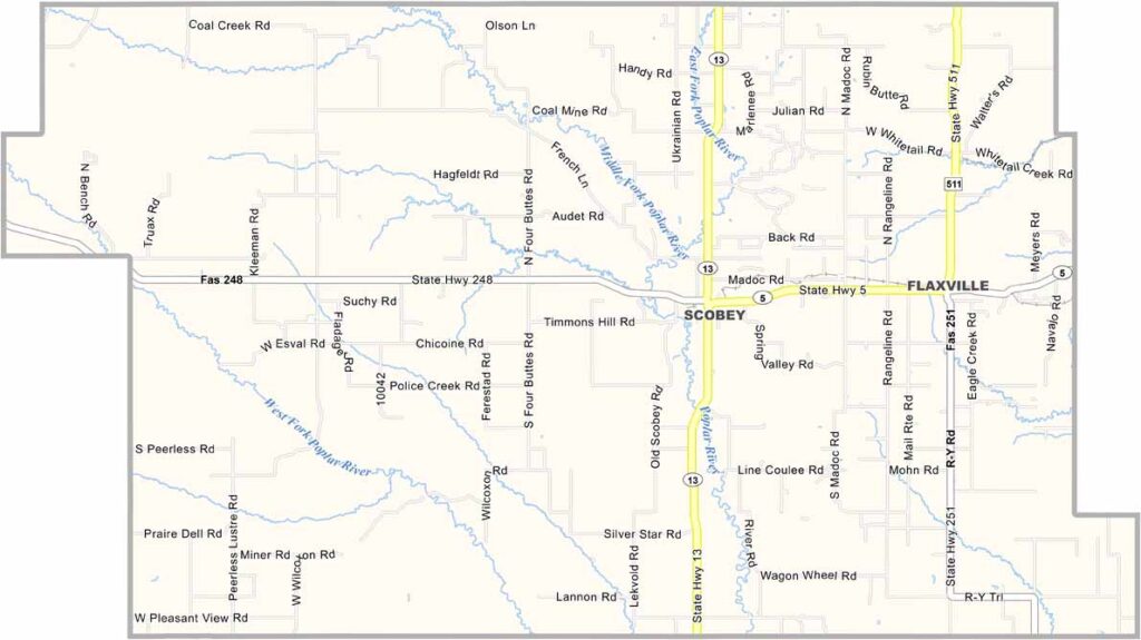
Daniels County, Montana

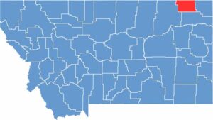
Daniels County sits in the northeastern corner of Montana, right along the Canadian border. Scobey is the county seat, and it’s about as far from a big city as you can get in the lower 48.

This is true frontier country. Wheat fields stretch all the way to the horizon, broken only by the occasional butte or coulee. The population is small, but the sky is enormous.

Hunting is big business here, with hunters coming from all over for pheasant and deer. The county is named after Mansfield Daniels, an early settler, although most folks probably don’t remember that. Oil brought some excitement to the area for a while, but these days, things are mostly quiet.

CategoryDetails
County NameDaniels County
County SeatScobey
EtymologyNamed after Mansfield Daniels, an early settler
Cities, Towns, and CommunitiesScobey, Flaxville, Peerless, Four Buttes
Interstates and HighwaysMT 5, MT 13
FIPS Code30-019
Total Area (Land and Water)1,426 square miles (Land: 1,426 sq mi, Water: 0.2 sq mi)
Adjacent Counties (and Direction)Sheridan County (East), Roosevelt County (South), Valley County (West)
Time ZoneMountain Time Zone (MT)
StateMontana
Coordinates48.8058° N, 105.1606° W
Major LandmarksDaniels County Museum and Pioneer Town, Rock Creek State Park, Fort Peck Indian Reservation
PopulationApproximately 1,700
Scroll to Top