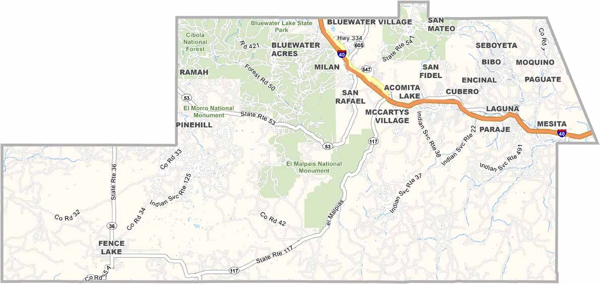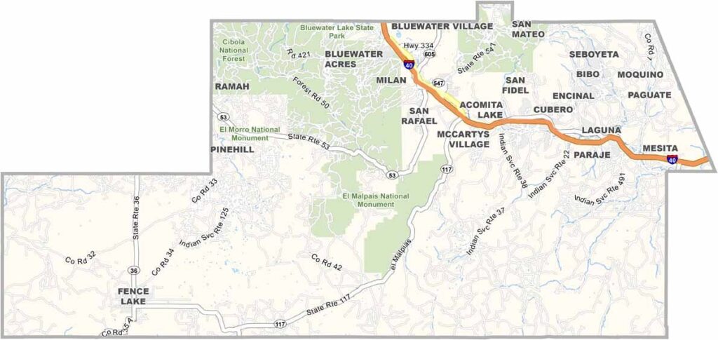
Cibola County Map, New Mexico

Cibola County, New Mexico

Cibola County sits in the western part of New Mexico, where ancient Native American pueblos stand alongside modern communities. The landscape is wild and varied, with mesas, canyons, and forests dominating the scenery.

The name "Cibola" comes from the legendary Seven Cities of Gold, which Spanish explorers searched for here centuries ago. They never found gold, but they discovered something just as valuable: a rich cultural heritage.

Grants, the county seat, was once a uranium mining boomtown and is now reinventing itself. El Malpais National Monument is a highlight, a wonderland of lava flows and ice caves. The people here are resilient and proud of their diverse backgrounds. It's a place where history feels alive.
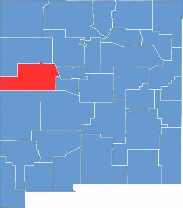

Cibola County location map of New Mexico
CategoryDetails
County NameCibola County
County SeatGrants
EtymologyNamed after the Spanish word “Cíbola,” referring to the mythical Seven Cities of Gold
Cities, Towns, and CommunitiesGrants, Milan, San Rafael, Acoma Pueblo, Laguna Pueblo
Interstates and HighwaysInterstate 40, U.S. Route 66, New Mexico State Road 53, New Mexico State Road 122
FIPS Code35-006
Total Area (Land and Water)4,542 square miles (4,539 sq mi land, 3 sq mi water)
Adjacent Counties (and Direction)McKinley County (North), Sandoval County (Northeast), Bernalillo County (East), Valencia County (East), Socorro County (Southeast), Catron County (South), Apache County, Arizona (West)
Time ZoneMountain Time Zone (MT)
StateNew Mexico
Coordinates35.1023° N, 107.8480° W
Major LandmarksEl Malpais National Monument, El Morro National Monument, Mount Taylor
PopulationApproximately 27,000
Scroll to Top