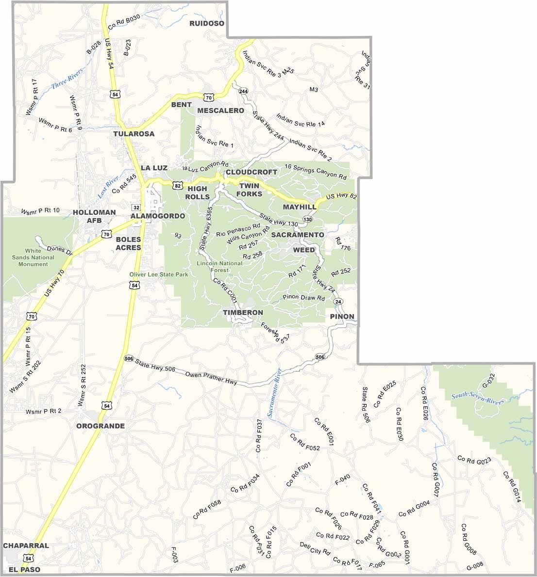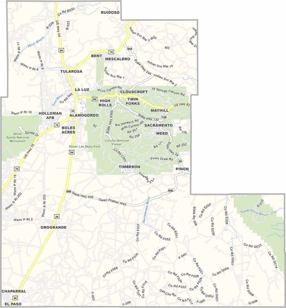
Otero County Map, New Mexico

Otero County, New Mexico

Southern New Mexico is home to Otero County, where White Sands National Park is the star attraction. This sea of gypsum dunes sits in the western region of the county.

Alamogordo, the county seat, has deep ties to space exploration. The Trinity Site, where the first atomic bomb was tested, is nearby. Talk about history.

The Sacramento Mountains rise from the desert floor, offering a section of cool pine forests. Holloman Air Force Base brings a mix of people from all over, giving the area a unique vibe. The Mescalero Apache Reservation is here too.
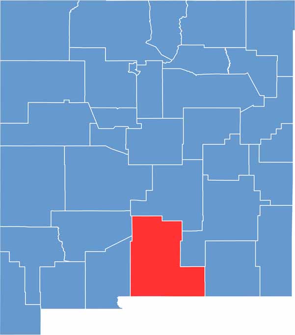

Otero County location map of New Mexico
CategoryDetails
County NameOtero County
County SeatAlamogordo
EtymologyNamed after Miguel Antonio Otero, a territorial governor of New Mexico
Cities, Towns, and CommunitiesAlamogordo, Cloudcroft, Tularosa, Mescalero, La Luz
Interstates and HighwaysU.S. Route 54, U.S. Route 70, U.S. Route 82
FIPS Code35-035
Total Area (Land and Water)6,628 square miles (6,613 sq mi land, 15 sq mi water)
Adjacent Counties (and Direction)Doña Ana County (West), Sierra County (Northwest), Lincoln County (North), Chaves County (East), Eddy County (East), Culberson County, Texas (Southeast), Hudspeth County, Texas (South), El Paso County, Texas (Southwest)
Time ZoneMountain Time Zone (MT)
StateNew Mexico
Coordinates32.6368° N, 105.9085° W
Major LandmarksWhite Sands National Park, Lincoln National Forest, New Mexico Museum of Space History
PopulationApproximately 67,000
Scroll to Top