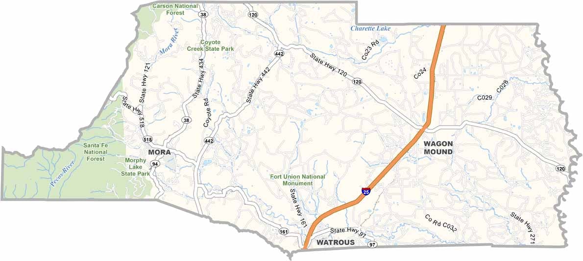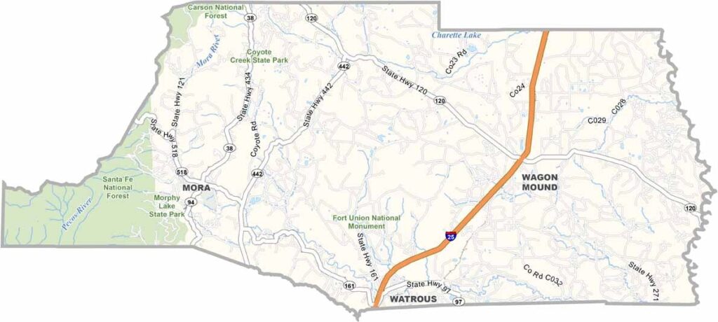
Mora County Map, New Mexico

Mora County, New Mexico

Mora County is nestled in the Sangre de Cristo Mountains of northeastern New Mexico, one of those places that time seems to have forgotten. The landscape is a patchwork of forests, meadows, and streams.

Wheat, oats, and peas thrive in the mountain valleys. The county has a rich history, having once been part of a land grant from the Mexican government, and you can still see old adobe buildings from that era.

Mora, the county seat, is tiny but has character to spare. The people here value their rural way of life. Santa Fe National Forest occupies the western region, making hunting and fishing big here, and so is farming.
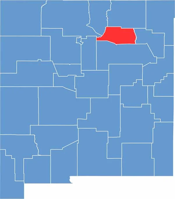

Mora County location map of New Mexico
CategoryDetails
County NameMora County
County SeatMora
EtymologyNamed after the Spanish word “Mora,” meaning “blackberry”
Cities, Towns, and CommunitiesMora, Wagon Mound, Cleveland, Buena Vista
Interstates and HighwaysInterstate 25, New Mexico State Road 518, New Mexico State Road 434
FIPS Code35-033
Total Area (Land and Water)1,934 square miles (1,931 sq mi land, 3 sq mi water)
Adjacent Counties (and Direction)Colfax County (North), Harding County (East), San Miguel County (South), Santa Fe County (West), Rio Arriba County (West), Taos County (Northwest)
Time ZoneMountain Time Zone (MT)
StateNew Mexico
Coordinates35.9743° N, 105.3278° W
Major LandmarksMorphy Lake State Park, Cleveland Roller Mill Museum, Victory Ranch Alpacas
PopulationApproximately 4,200
Scroll to Top