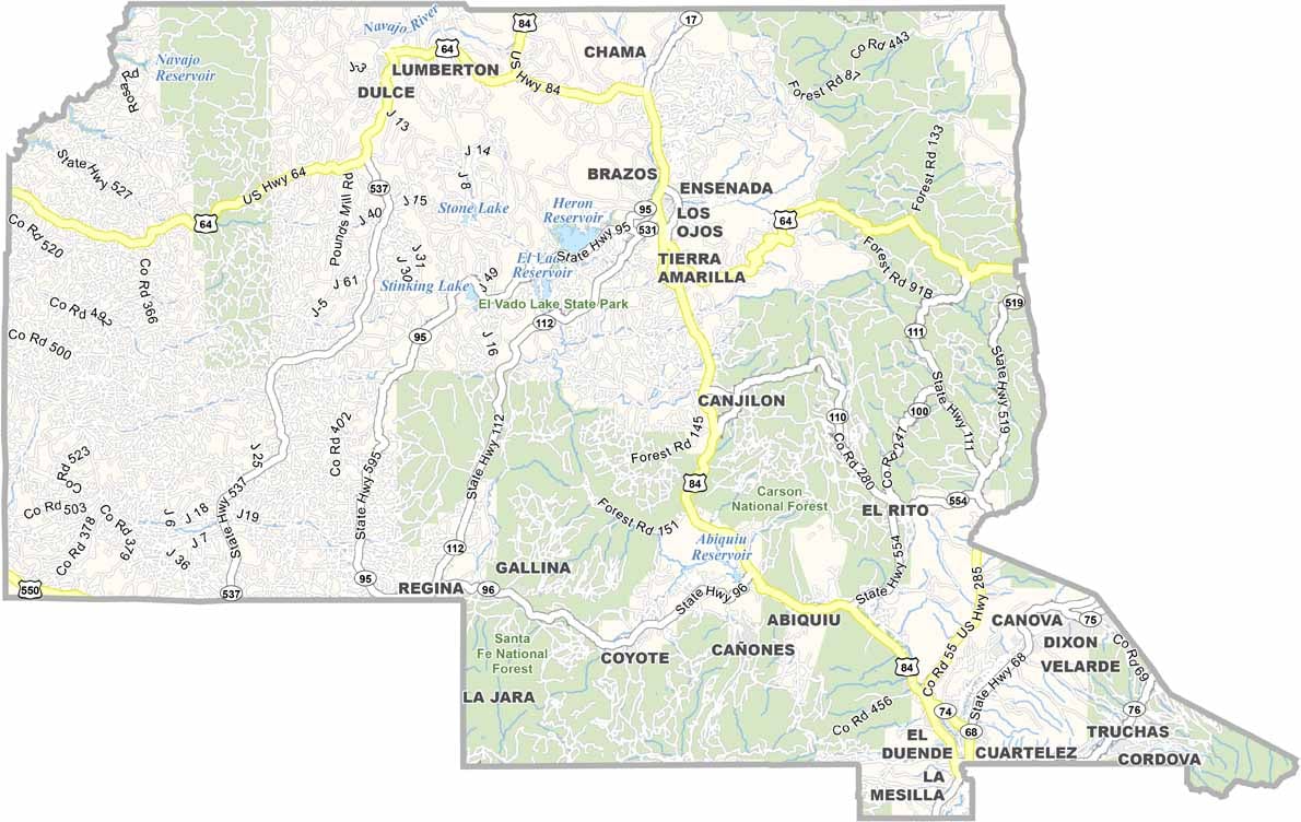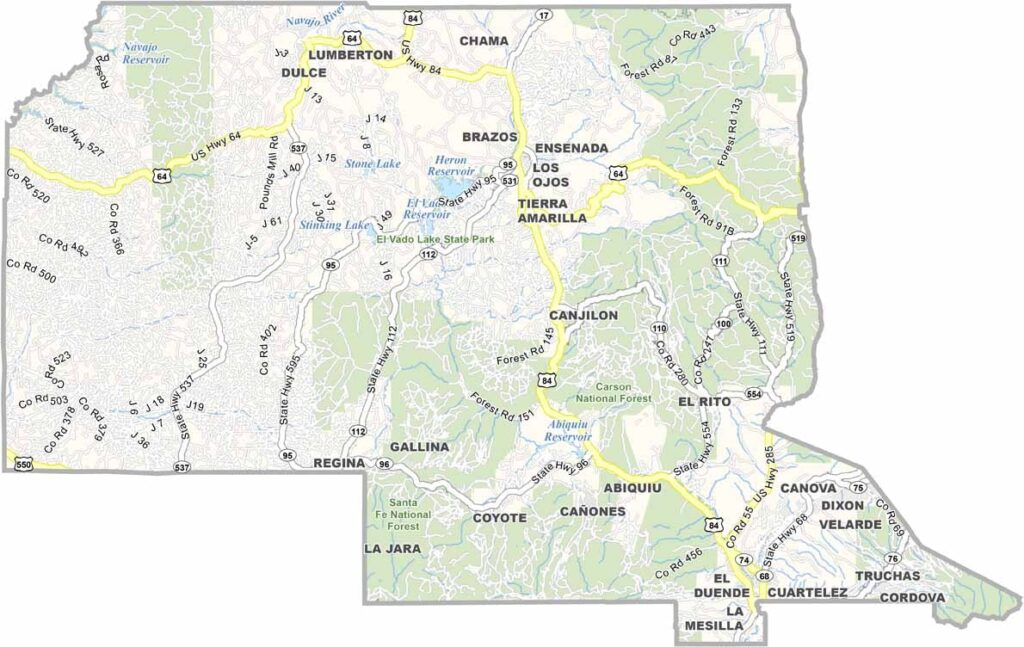
Rio Arriba County Map, New Mexico

Rio Arriba County, New Mexico

Rio Arriba County stretches from the Colorado border to the Jemez Mountains in the northern reaches of New Mexico. This place is old. Really old. Spanish settlers arrived in the 1500s, but the Pueblo people were here long before that.

The Rio Grande cuts through the landscape, a lifeline in this high desert country. The scenery is otherworldly, and Ghost Ranch draws visitors from all over. It's a geologist's playground.

The county has a strong Hispanic and Native American heritage, and you can feel it in the food, the art, and the music. Espanola, the largest town, is known as the lowrider capital of the world.
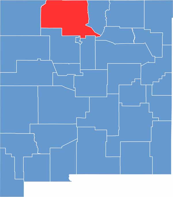

Rio Arriba County location map of New Mexico
CategoryDetails
County NameRio Arriba County
County SeatTierra Amarilla (official), Espanola (unofficial)
EtymologySpanish for “Upstream” of the river
Cities, Towns, and CommunitiesEspanola, Tierra Amarilla, Chama, Dulce, Alcalde, Abiquiu
Interstates and HighwaysU.S. Route 84, U.S. Route 285, New Mexico State Road 68
FIPS Code35-039
Total Area (Land and Water)5,896 square miles (5,858 sq mi land, 38 sq mi water)
Adjacent Counties (and Direction)Taos County (East), Mora County (Southeast), Santa Fe County (South), Los Alamos County (South), Sandoval County (South), San Juan County (West), Archuleta County, Colorado (North), Conejos County, Colorado (North)
Time ZoneMountain Time Zone (MT)
StateNew Mexico
Coordinates36.5143° N, 106.6912° W
Major LandmarksGhost Ranch, Abiquiu Lake, Echo Amphitheater, Cumbres & Toltec Scenic Railroad
PopulationApproximately 39,000
Scroll to Top