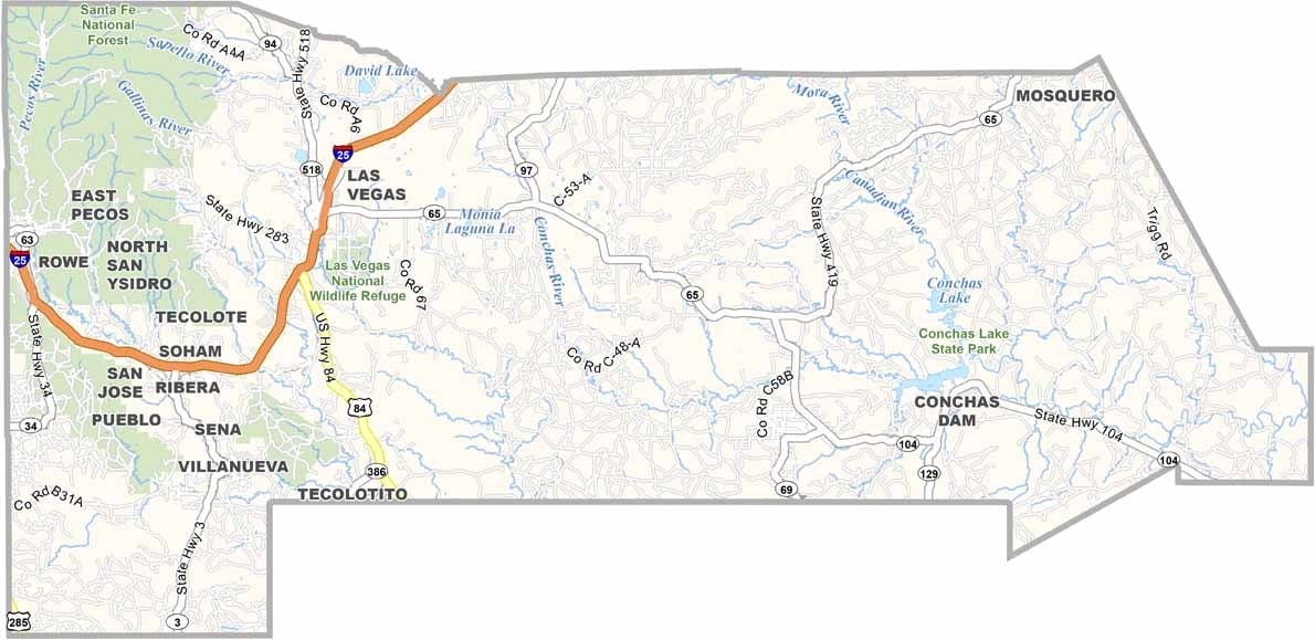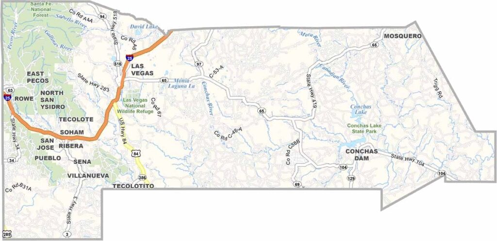
San Miguel County Map, New Mexico

San Miguel County, New Mexico

San Miguel County sits between the high plains and the Sangre de Cristo Mountains in northeastern New Mexico. Las Vegas serves as the county seat. No, not that Las Vegas. This one is older and much more laid-back.

The county has more than 900 buildings listed on the National Register of Historic Places, which is a lot of history packed into one area. The Pecos Wilderness is also located here, making it a paradise for hikers. Wide grasslands in the east gradually give way to pine-covered mountains in the west.

Ranching remains a major part of the local economy, so it’s still common to see cowboys working cattle, much like in the old days. The county has a rich cultural mix, with Hispanic, Anglo, and Native American influences throughout the area. Storrie Lake is also a popular destination for fishing and boating.
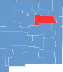

San Miguel County location map of New Mexico
CategoryDetails
County NameSan Miguel County
County SeatLas Vegas
EtymologyNamed after San Miguel de Bado Catholic Church, the first in the area
Cities, Towns, and CommunitiesLas Vegas, Pecos, Ribera, Rowe, San Jose
Interstates and HighwaysInterstate 25, U.S. Route 84, U.S. Route 85, New Mexico State Road 3
FIPS Code35-047
Total Area (Land and Water)4,736 square miles (4,717 sq mi land, 19 sq mi water)
Adjacent Counties (and Direction)Mora County (North), Harding County (East), Quay County (Southeast), Guadalupe County (South), Torrance County (Southwest), Santa Fe County (West)
Time ZoneMountain Time Zone (MT)
StateNew Mexico
Coordinates35.5942° N, 105.0974° W
Major LandmarksPecos National Historical Park, Las Vegas National Wildlife Refuge, Montezuma Castle
PopulationApproximately 27,000
Scroll to Top