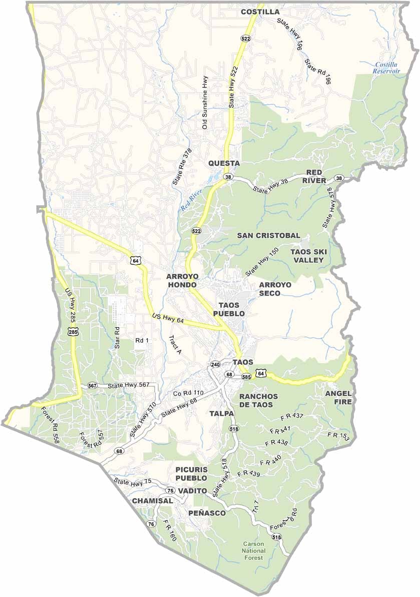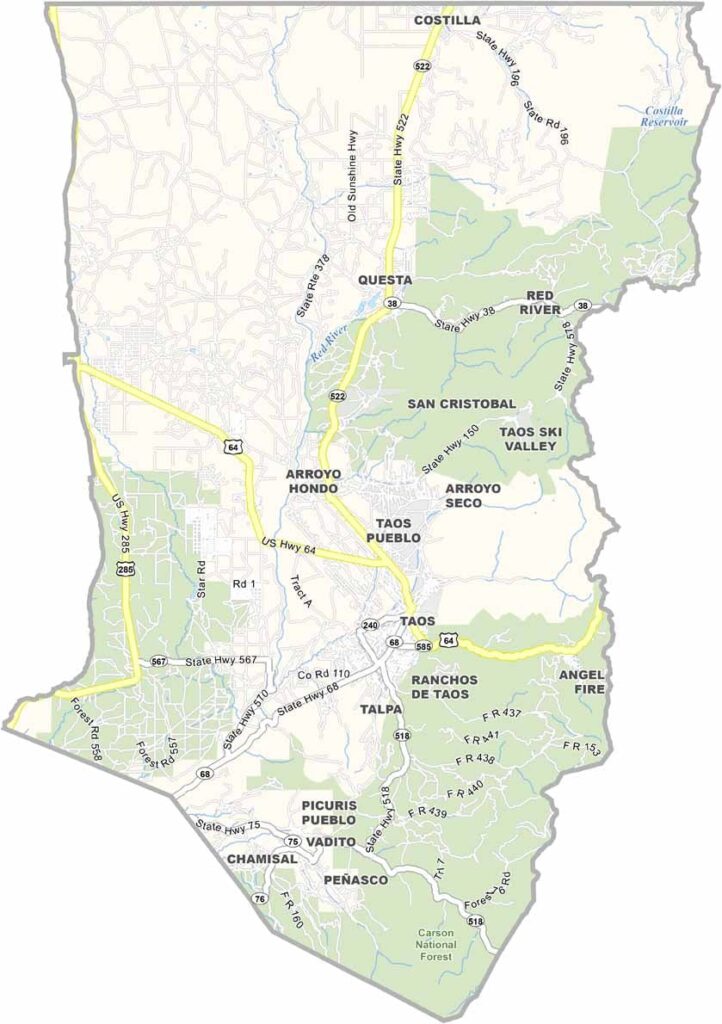
Taos County Map, New Mexico

Taos County, New Mexico

Taos County sits in the high country of northern New Mexico, right along the Colorado border. Taos Pueblo has been continuously inhabited for more than 1,000 years. That’s an incredible stretch of history.

The Rio Grande Gorge cuts through the western part of the county and creates some breathtaking scenery. The town of Taos has been an important art colony for more than a century, attracting artists such as Georgia O’Keeffe and Ansel Adams. It’s easy to see what drew them here.

The landscape is stunning, with Taos Ski Valley attracting visitors during the winter. The county is also known for its strong hippie vibe. The Enchanted Circle Scenic Byway loops around Wheeler Peak, the highest point in New Mexico, making for one unforgettable drive.
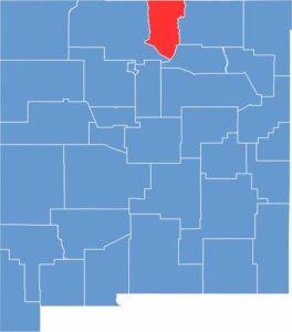

Taos County location map of New Mexico
CategoryDetails
County NameTaos County
County SeatTaos
EtymologyNamed after the Taos Pueblo people
Cities, Towns, and CommunitiesTaos, Red River, Taos Ski Valley, Questa, Ranchos de Taos
Interstates and HighwaysU.S. Route 64, U.S. Route 285, New Mexico State Road 68
FIPS Code35-055
Total Area (Land and Water)2,204 square miles (2,203 sq mi land, 1 sq mi water)
Adjacent Counties (and Direction)Rio Arriba County (West), Mora County (Southeast), Colfax County (East), Costilla County, Colorado (North), Conejos County, Colorado (Northwest)
Time ZoneMountain Time Zone (MT)
StateNew Mexico
Coordinates36.4072° N, 105.5730° W
Major LandmarksTaos Pueblo, Rio Grande Gorge Bridge, Wheeler Peak, Taos Ski Valley
PopulationApproximately 33,000
Scroll to Top