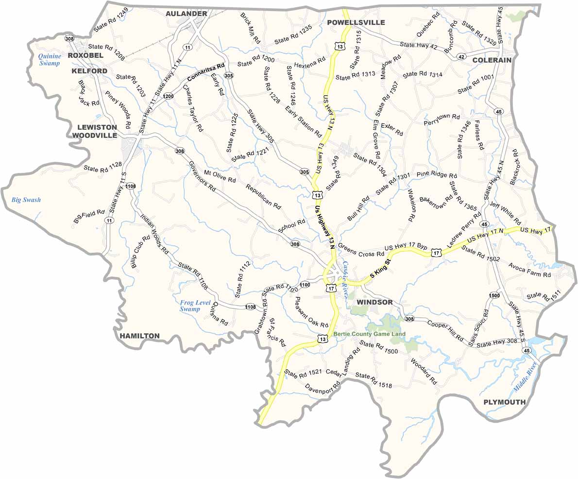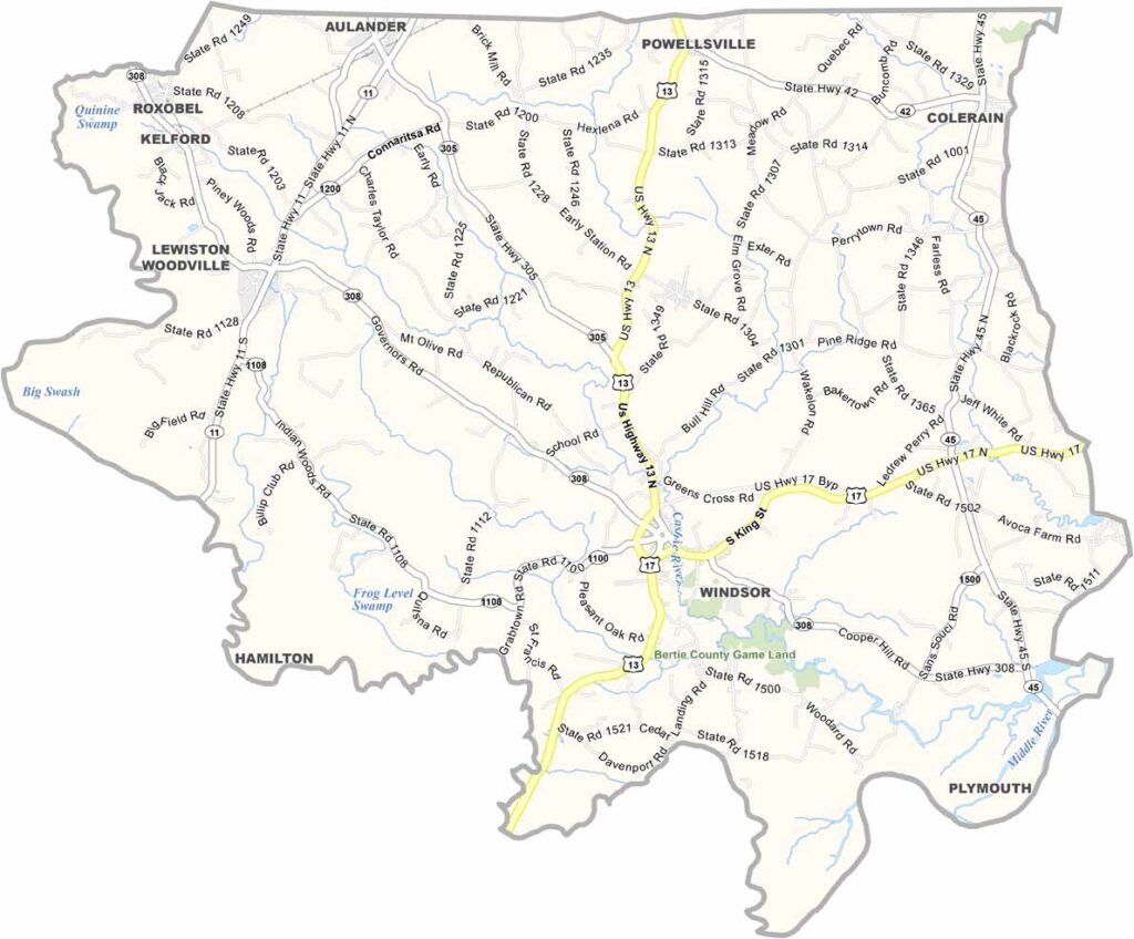
Bertie County Map, North Carolina

Bertie County, North Carolina

Bertie County hugs the Chowan River in northeastern North Carolina, a place where time seems to move a little slower. Windsor, the county seat, is home to a historic district.

The county is known for its peanut farming, but nature plays a big role too. The Cashie River offers kayak tours and a peaceful way to explore the outdoors. The Sans Souci Ferry, one of the last inland cable ferries in the state, still operates here.

Bertie has some of the darkest night skies on the East Coast, which makes it perfect for stargazing. Local festivals celebrate everything from blues music to watermelons. The rural character of the county has remained largely unchanged for generations.
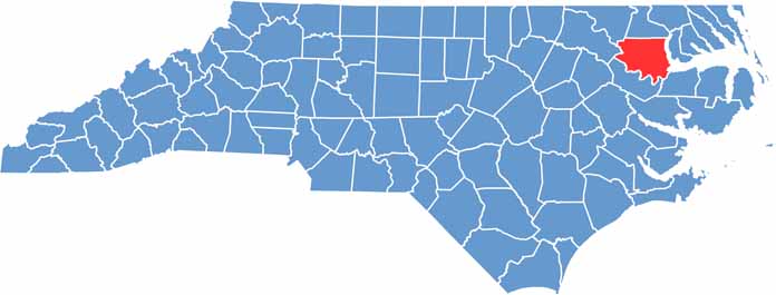

CategoryDetails
County NameBertie County
County SeatWindsor
EtymologyNamed after James or Henry Bertie
Cities, Towns, and CommunitiesWindsor, Aulander, Lewiston Woodville, Colerain
Interstates and HighwaysU.S. Route 13, U.S. Route 17, North Carolina State Route 308
FIPS Code37-015
Total Area (Land and Water)741 square miles (690 sq mi land, 51 sq mi water)
Adjacent Counties (and Direction)Hertford County (North), Chowan County (East), Washington County (Southeast), Martin County (South), Halifax County (West), Northampton County (Northwest)
Time ZoneEastern Time Zone (ET)
StateNorth Carolina
Coordinates36.0510° N, 77.0930° W
Major LandmarksRoanoke River, Windsor Historic District, Bertie County Courthouse
PopulationApproximately 20,000
Scroll to Top