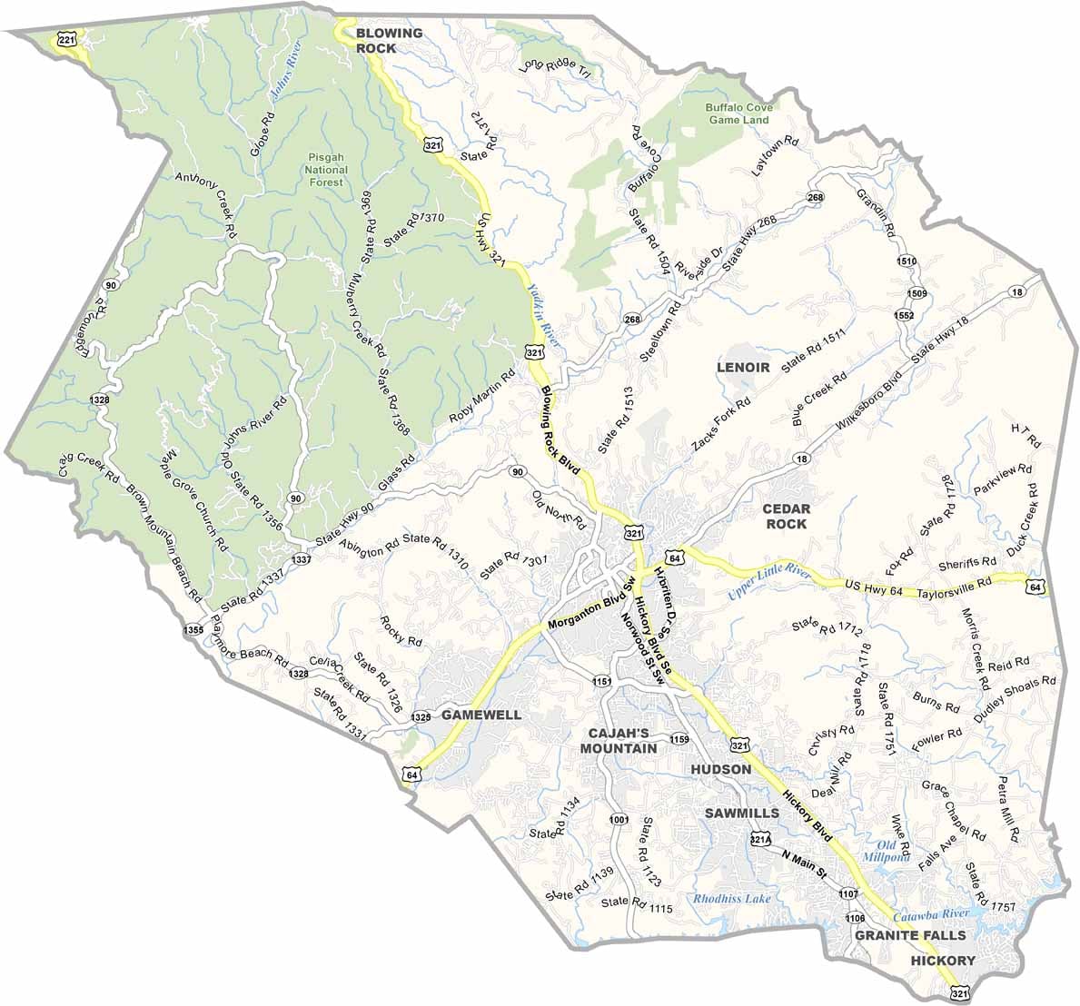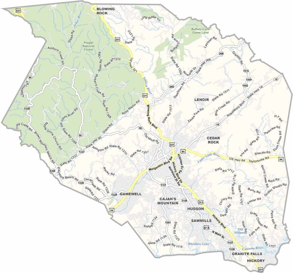
Caldwell County Map, North Carolina

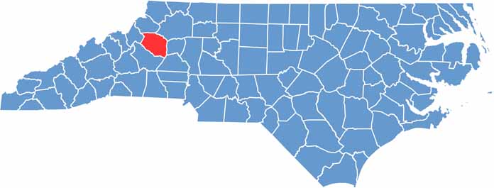
Caldwell County, North Carolina

Caldwell County lies in western North Carolina, right where the mountains meet the foothills, so the county is full of hiking trails.

Lenoir is the largest city and the county seat, and it features a sculpture walk downtown. The “Miracle of Hickory” polio hospital is found in Hickory.

Wilson Creek is great for kayaking, and trout fishing is popular too. The area also has a rich musical heritage. Caldwell County is a place where natural beauty and mountain scenery go hand in hand.

CategoryDetails
County NameCaldwell County
County SeatLenoir
EtymologyNamed after Joseph Caldwell, the first president of the University of North Carolina
Cities, Towns, and CommunitiesLenoir, Granite Falls, Hudson, Sawmills
Interstates and HighwaysU.S. Route 321, U.S. Route 70, North Carolina State Route 18
FIPS Code37-027
Total Area (Land and Water)474 square miles (472 sq mi land, 2 sq mi water)
Adjacent Counties (and Direction)Watauga County (North), Wilkes County (Northeast), Alexander County (East), Catawba County (Southeast), Burke County (South), Avery County (West)
Time ZoneEastern Time Zone (ET)
StateNorth Carolina
Coordinates35.9070° N, 81.5320° W
Major LandmarksBunker Hill Covered Bridge, Wilson Creek, Caldwell Heritage Museum
PopulationApproximately 85,000
Scroll to Top