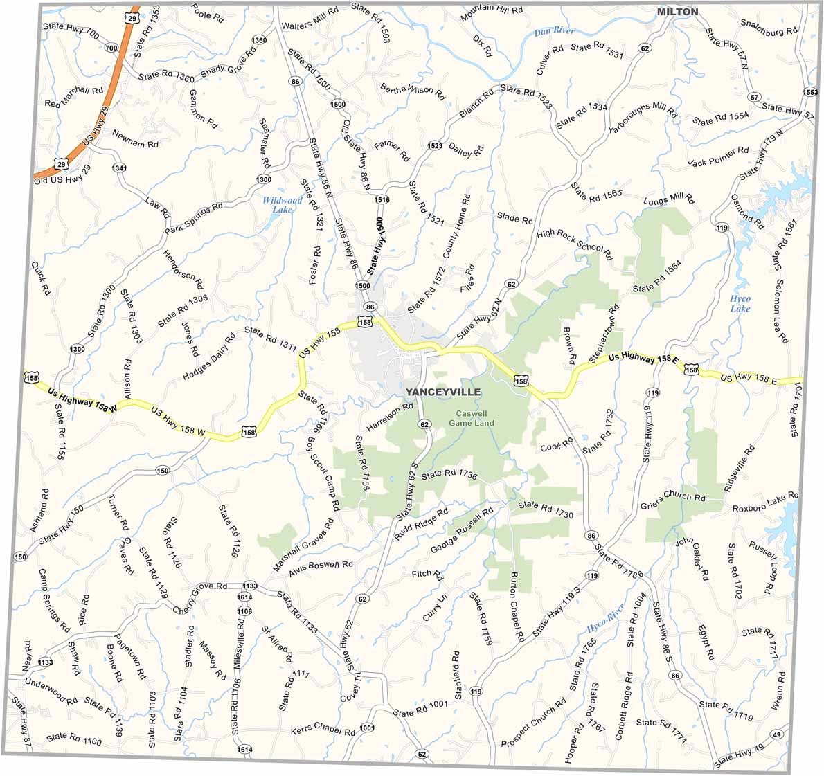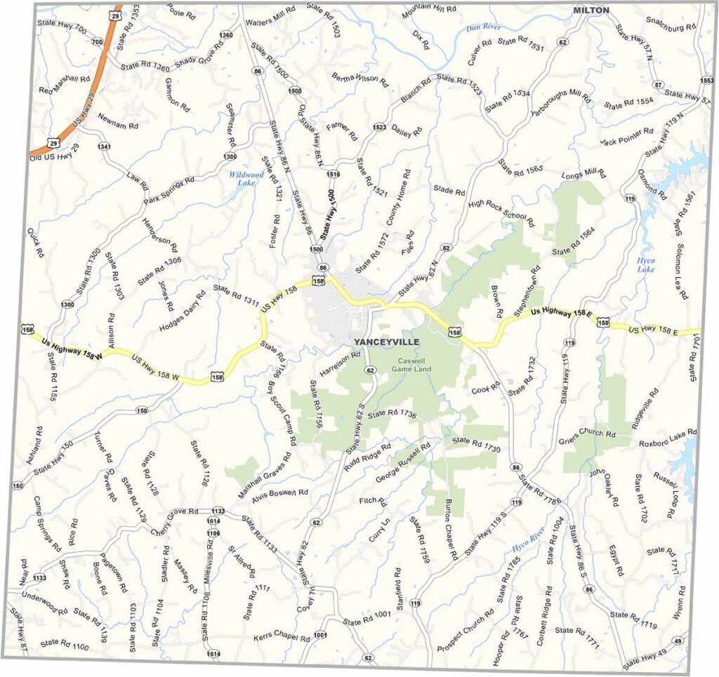
Caswell County Map, North Carolina

Caswell County, North Carolina

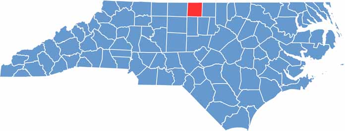
Caswell County lies in north-central North Carolina, right on the Virginia border. Yanceyville, the county seat, is home to a stunning antebellum courthouse.

Time seems to slow down here. Rolling hills are covered with tobacco fields, and the county is known for its bright leaf tobacco.

Hunting and fishing are both big. The architecture is a history lesson in itself, especially in Historic Yanceyville, which is known for its 19th-century buildings. Caswell County is a quiet place, perfect for a weekend getaway.

CategoryDetails
County NameCaswell County
County SeatYanceyville
EtymologyNamed after Richard Caswell, first governor of North Carolina after the Declaration of Independence
Cities, Towns, and CommunitiesYanceyville, Milton, Blanch, Providence
Interstates and HighwaysU.S. Route 29, U.S. Route 158, North Carolina State Route 86
FIPS Code37-033
Total Area (Land and Water)459 square miles (455 sq mi land, 4 sq mi water)
Adjacent Counties (and Direction)Person County (East), Orange County (Southeast), Alamance County (South), Rockingham County (West), Pittsylvania County, Virginia (North), Halifax County, Virginia (North), Danville City, Virginia (North)
Time ZoneEastern Time Zone (ET)
StateNorth Carolina
Coordinates36.4040° N, 79.3360° W
Major LandmarksCaswell County Historical Museum, Dan River, Historic Yanceyville
PopulationApproximately 24,000
Scroll to Top