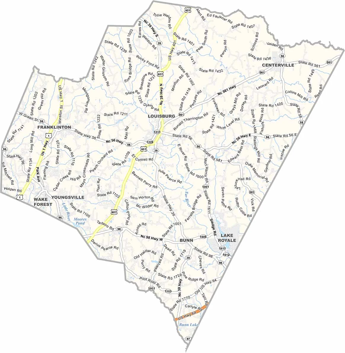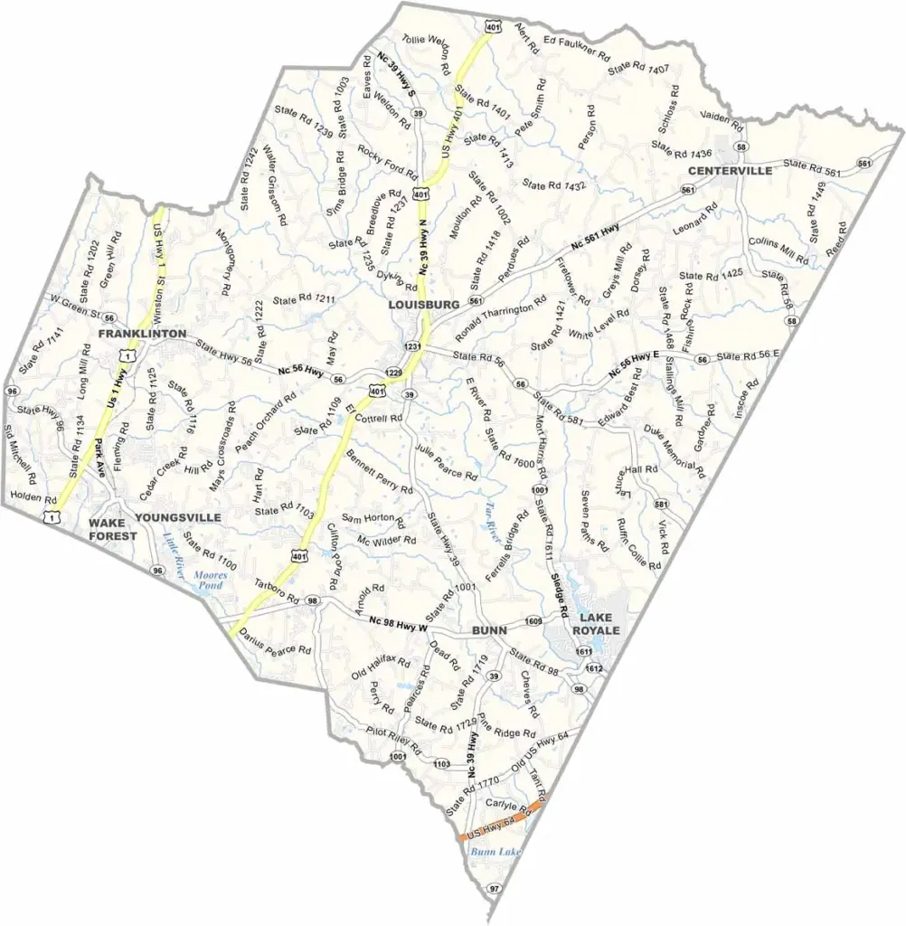
Franklin County Map, North Carolina

Franklin County, North Carolina

Franklin County lies in the northeast Piedmont, straddling the fall line where the coastal plain meets the Piedmont. Louisburg, a small town, serves as the county seat.

This is a place for the great outdoors. Lakes, rivers, and plenty of green space give the county a natural edge, and spots like Lake Royale and a network of hiking trails offer plenty of new adventures to explore.

The area’s rich soil has long made it prime farm country. Tobacco barns can still be seen, though many different crops are grown here now. The Franklin County Historical Museum showcases the county’s history and is small but packed with local lore. The county fair each fall is a big event, and everyone turns out for the rides, food, and friendly competition.
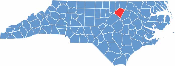

CategoryDetails
County NameFranklin County
County SeatLouisburg
EtymologyNamed after Benjamin Franklin, one of the Founding Fathers of the U.S.
Cities, Towns, and CommunitiesLouisburg, Bunn, Youngsville
Interstates and HighwaysU.S. Route 401, U.S. Route 1
FIPS Code37-069
Total Area (Land and Water)492 square miles (land and water)
Adjacent Counties (and Direction)Warren County (Northeast), Vance County (North), Granville County (Northwest), Wake County (Southwest), Johnston County (South), Nash County (East)
Time ZoneEastern Time Zone
StateNorth Carolina
Coordinates36.0977° N, 78.3138° W
Major LandmarksLouisburg College, Franklin County Historical Museum
PopulationApproximately 75,000
Scroll to Top