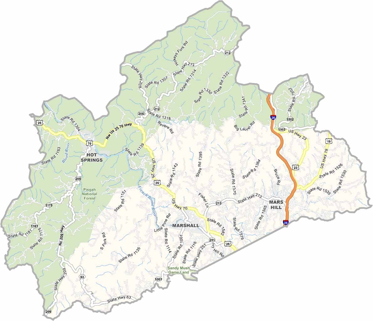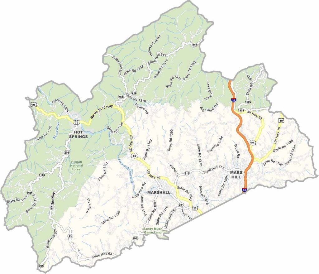
Madison County Map, North Carolina

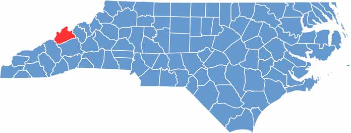
Madison County, North Carolina

Madison County lies in the mountains of western North Carolina, a region of natural beauty and rich traditions. Marshall, the county seat, sits right on the French Broad River.

People have been “taking the waters” here for centuries, and the county offers some of the best whitewater rafting in the state. The Appalachian Trail passes through the northern part of the county.

The county is known for its traditional mountain music, which can be heard at local jam sessions and festivals. Residents are fiercely proud of their mountain heritage, and old-time skills like canning and quilting are still valued.

CategoryDetails
County NameMadison County
County SeatMarshall
EtymologyNamed after James Madison, 4th President of the U.S.
Cities, Towns, and CommunitiesMarshall, Hot Springs, Mars Hill, Weaverville
Interstates and HighwaysU.S. Route 25, U.S. Route 70
FIPS Code37-115
Total Area (Land and Water)451 square miles (land and water)
Adjacent Counties (and Direction)Greene County, Tennessee (North), Unicoi County, Tennessee (Northeast), Yancey County (East), Buncombe County (South), Haywood County (Southwest), Cocke County, Tennessee (Northwest)
Time ZoneEastern Time Zone
StateNorth Carolina
Coordinates35.7908° N, 82.6710° W
Major LandmarksPisgah National Forest, Max Patch
PopulationApproximately 22,000
Scroll to Top