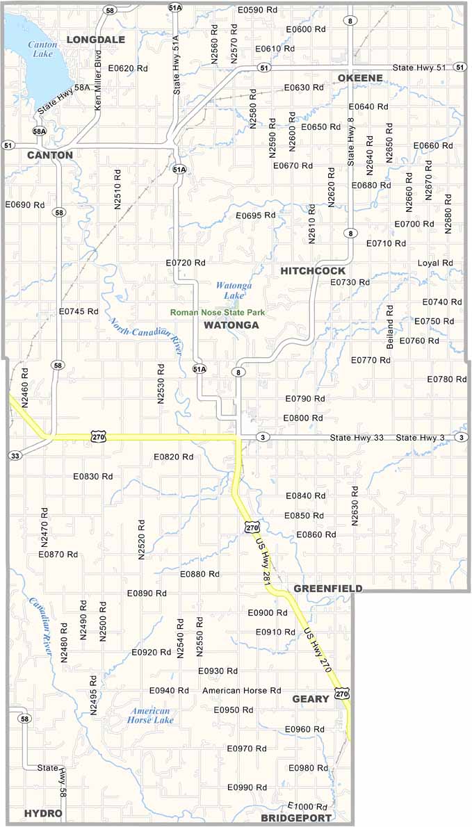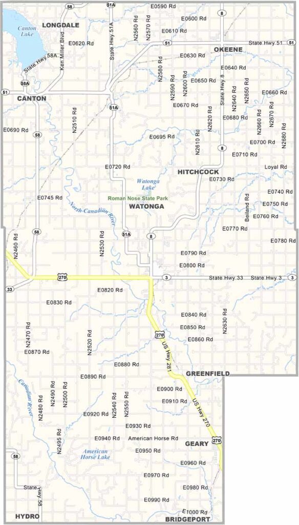
Blaine County Map, Oklahoma

Blaine County, Oklahoma

Blaine County is right in the heart of Oklahoma, where history and nature collide. Watonga, the county seat, was named after a Cheyenne chief.

The county has some serious bragging rights when it comes to outdoor recreation. Roman Nose State Park has springs, lakes, and canyon walls that'll make your jaw drop.

Farming is big here, but it's not just wheat and cattle. Would you believe they grow grapes? Yep, there are wineries popping up all over. Blaine County's weather can be wild, and tornadoes aren't uncommon.
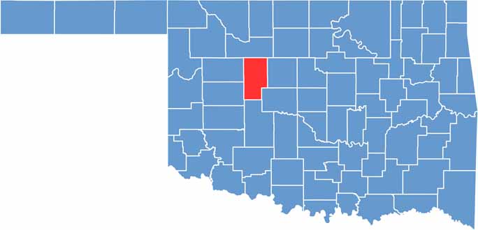

Location map of Blaine County, Oklahoma
CategoryDetails
County NameBlaine County
County SeatWatonga
EtymologyNamed in honor of James G. Blaine, U.S. Senator from Maine
Cities, Towns, and CommunitiesWatonga, Geary, Okeene, Canton, Greenfield, Hitchcock, Longdale
Interstates and HighwaysU.S. Highway 270, U.S. Highway 281, State Highway 3, State Highway 8, State Highway 51
FIPS Code40-011
Total Area (Land and Water)939 square miles (928 sq mi land, 11 sq mi water)
Adjacent Counties (and Direction)Major County (North), Kingfisher County (East), Canadian County (Southeast), Caddo County (South), Custer County (Southwest), Dewey County (Northwest)
Time ZoneCentral Time Zone (CST)
StateOklahoma
Coordinates35°56'N, 98°25'W
Major LandmarksRoman Nose State Park, Canton Lake, Watonga Cheese Festival
PopulationApproximately 9,700
Scroll to Top