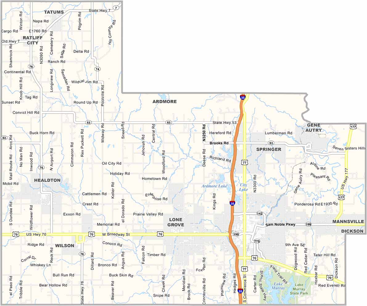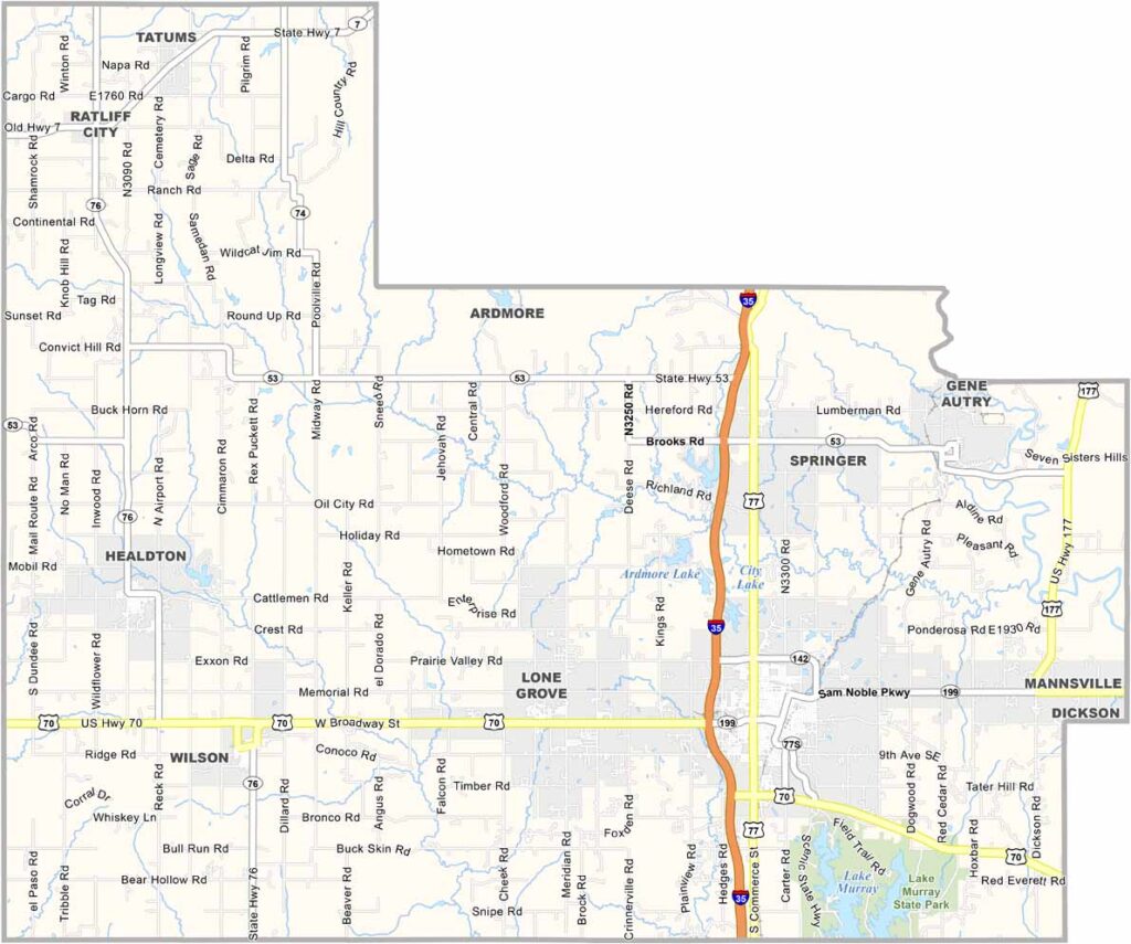
Carter County Map, Oklahoma

Carter County, Oklahoma

Carter County sits in south-central Oklahoma, with Ardmore serving as the county seat. It’s a town with a split personality—part oil boom town, part cowboy culture.

The county has a rich history. It was once home to Oklahoma’s largest oil field. The boom days may be over, but oil still plays an important role here.

Lake Murray State Park is Oklahoma’s oldest and largest state park. The water is so clear that you can see fish swimming around your toes. The Chickasaw Nation also has deep roots in the area, with its influence visible throughout the county, from casinos to cultural centers.
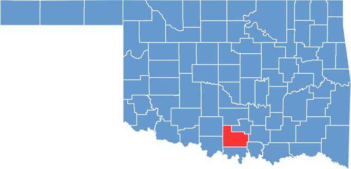

Location map of Carter County, Oklahoma
CategoryDetails
County NameCarter County
County SeatArdmore
EtymologyNamed after Charles D. Carter, a prominent Chickasaw politician
Cities, Towns, and CommunitiesArdmore, Healdton, Wilson, Lone Grove, Dickson, Springer, Gene Autry
Interstates and HighwaysInterstate 35, U.S. Highway 70, U.S. Highway 77, State Highway 53, State Highway 76
FIPS Code40-019
Total Area (Land and Water)834 square miles (822 sq mi land, 12 sq mi water)
Adjacent Counties (and Direction)Garvin County (North), Murray County (Northeast), Johnston County (East), Marshall County (Southeast), Love County (South), Jefferson County (Southwest), Stephens County (Northwest)
Time ZoneCentral Time Zone (CST)
StateOklahoma
Coordinates34°17’N, 97°17’W
Major LandmarksLake Murray State Park, Greater Southwest Historical Museum, Ardmore Regional Park
PopulationApproximately 50,000
Scroll to Top