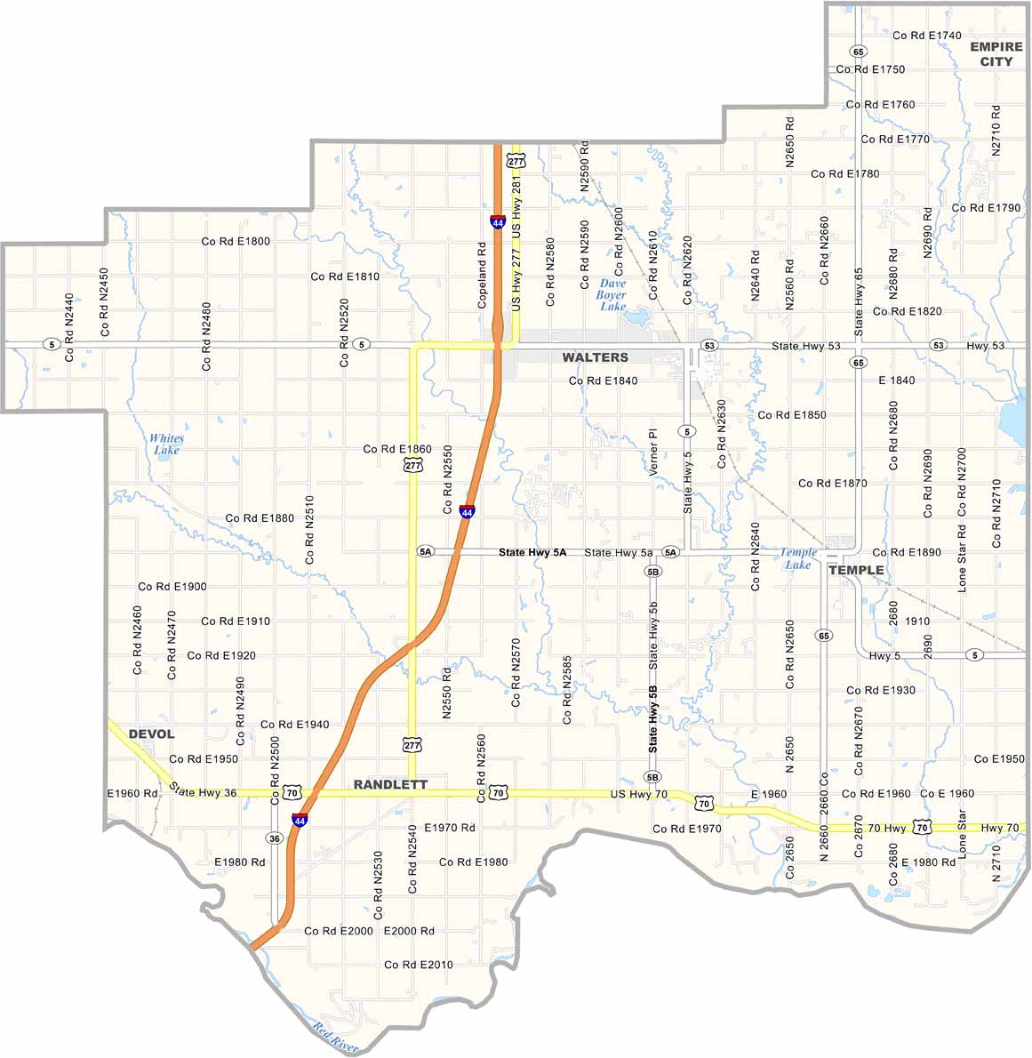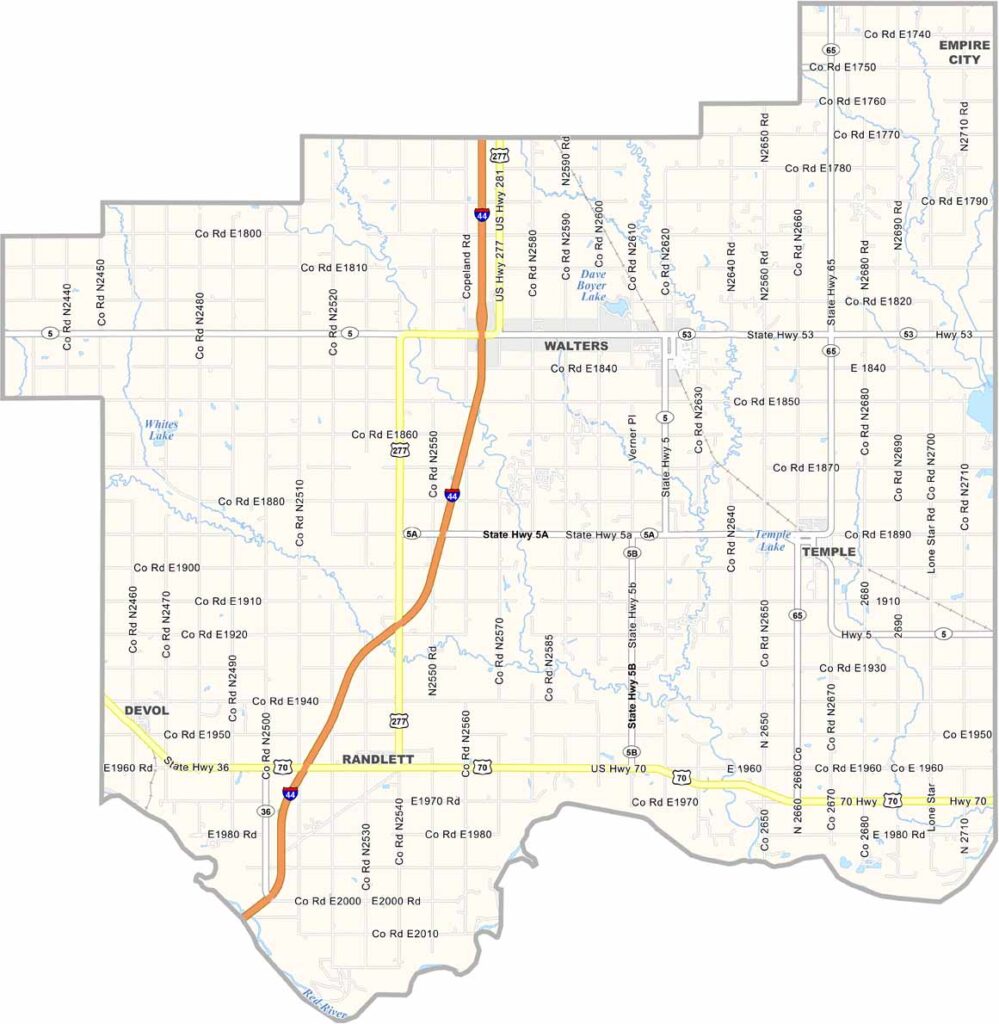
Cotton County Map, Oklahoma

Cotton County, Oklahoma

Cotton County sits in the southwestern corner of Oklahoma along the Texas border. It’s named after the crop that once dominated the local economy.

Walters serves as the county seat. The Wichita Mountains rise on the horizon, providing a stunning backdrop. The area is home to plenty of farmland, along with oil wells scattered across the landscape.

Fishing and hunting are popular pastimes here. The Red River forms the southern border and offers good spots for casting a line. The county also has a strong sense of community, with everyone turning out for high school football games on Friday nights.
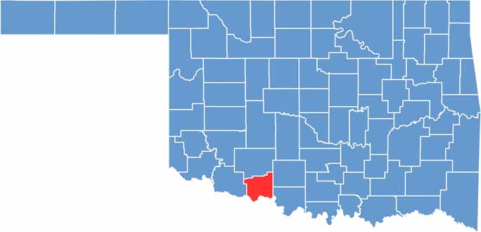

Location map of Cotton County, Oklahoma
CategoryDetails
County NameCotton County
County SeatWalters
EtymologyNamed for the importance of cotton as a crop in the area
Cities, Towns, and CommunitiesWalters, Temple, Randlett, Devol, Cookietown
Interstates and HighwaysInterstate 44, U.S. Highway 70, U.S. Highway 277, State Highway 5
FIPS Code40-033
Total Area (Land and Water)642 square miles (633 sq mi land, 9 sq mi water)
Adjacent Counties (and Direction)Comanche County (North), Stephens County (Northeast), Jefferson County (Southeast), Clay County, Texas (South), Wichita County, Texas (Southwest), Tillman County (West)
Time ZoneCentral Time Zone (CST)
StateOklahoma
Coordinates34°22’N, 98°23’W
Major LandmarksRed River, Comanche Nation Casino, Cotton County Courthouse
PopulationApproximately 5,800
Scroll to Top