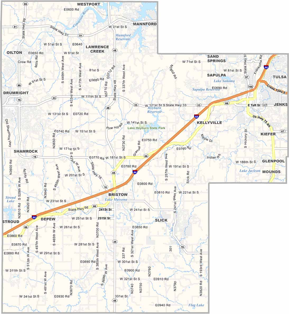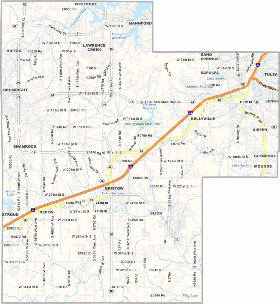
Creek County Map, Oklahoma

Creek County, Oklahoma

Creek County sits just southwest of Tulsa, Oklahoma. It was named after the Creek tribe in 1907. The landscape is a mix of rolling hills and open prairies.

Sapulpa serves as the county seat and has a downtown area featuring beautiful Art Deco buildings. Lake Heyburn State Park is also a popular destination for boating and fishing.

Oil played a major role in the county’s history, and you can still spot pump jacks moving up and down across the fields. The county offers a little of everything, from small towns and growing suburbs to plenty of open space.
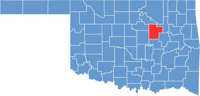

Location map of Creek County, Oklahoma
CategoryDetails
County NameCreek County
County SeatSapulpa
EtymologyNamed after the Creek Native American tribe
Cities, Towns, and CommunitiesSapulpa, Bristow, Drumright, Mannford, Mounds, Kiefer, Kellyville, Oilton
Interstates and HighwaysInterstate 44, U.S. Highway 75, U.S. Highway 66, State Highway 33, State Highway 48
FIPS Code40-037
Total Area (Land and Water)970 square miles (950 sq mi land, 20 sq mi water)
Adjacent Counties (and Direction)Pawnee County (North), Tulsa County (East), Okmulgee County (Southeast), Okfuskee County (South), Lincoln County (West), Payne County (Northwest)
Time ZoneCentral Time Zone (CST)
StateOklahoma
Coordinates35°59’N, 96°21’W
Major LandmarksRoute 66 Historical Village, Creek County Historical Museum, Keystone Ancient Forest Preserve
PopulationApproximately 72,000
Scroll to Top