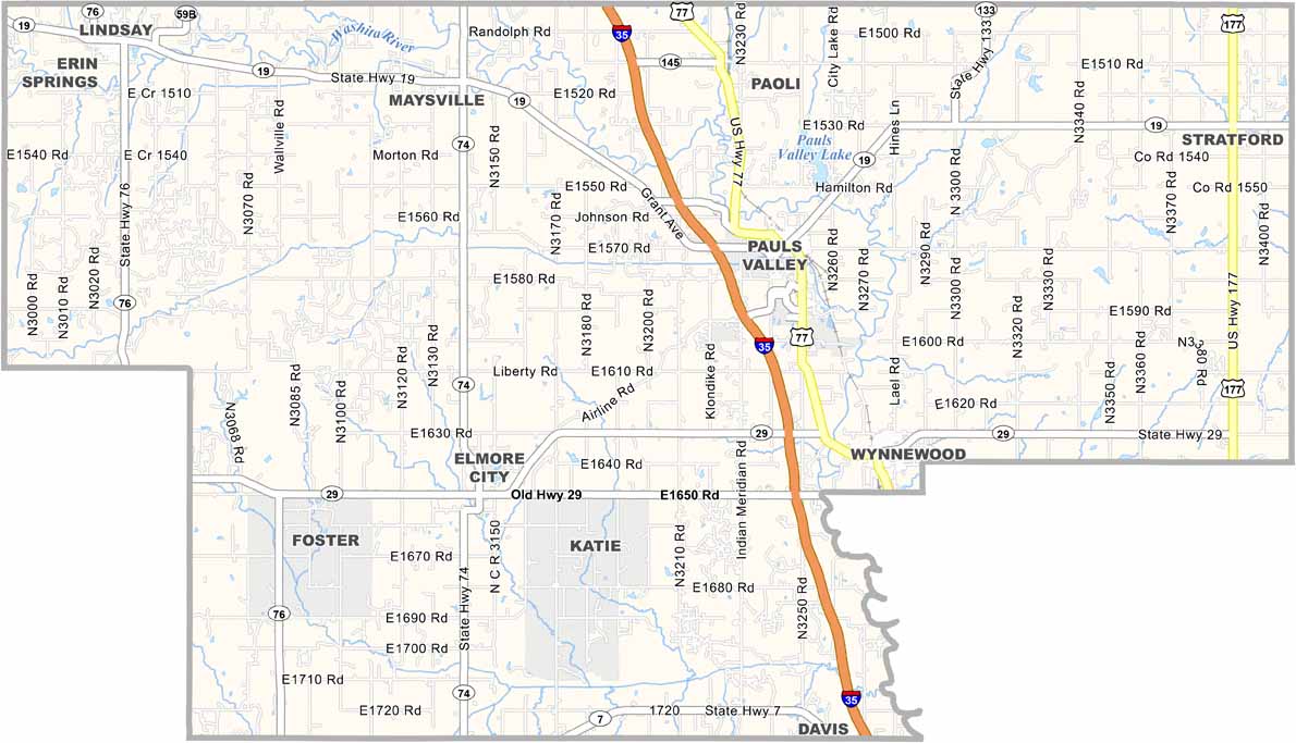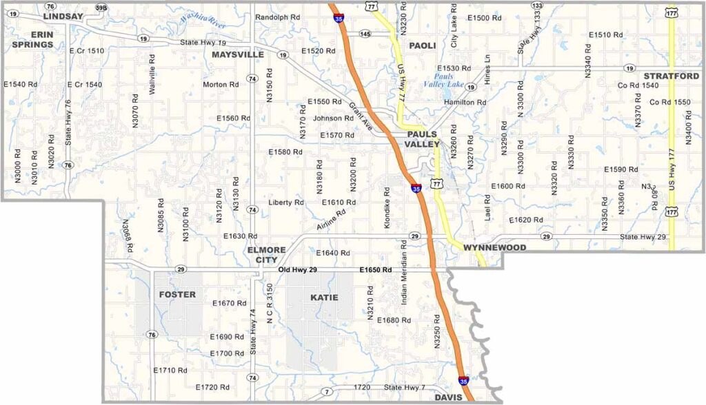
Garvin County Map, Oklahoma

Garvin County, Oklahoma

Garvin County is right in the heart of Oklahoma, a place of contrasts, with rolling hills in the east and flatlands in the west. The Washita River cuts through, giving life to the land.

Pauls Valley, the county seat, sits in the center of the county. It's known for its quirky Toy and Action Figure Museum. Who would've thought?

Oil has played a big role here, bringing booms and busts, while farming and ranching are still important. You'll see plenty of cattle grazing in the fields. The county has a rich Native American history, which is evident in the place names and local culture.
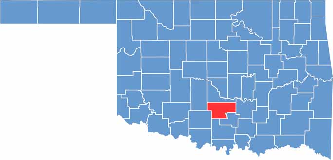

Location map of Garvin County, Oklahoma
CategoryDetails
County NameGarvin County
County SeatPauls Valley
EtymologyNamed after Samuel J. Garvin, a local rancher
Cities, Towns, and CommunitiesPauls Valley, Lindsay, Wynnewood, Elmore City, Stratford, Maysville, Paoli, Erin Springs
Interstates and HighwaysInterstate 35, U.S. Highway 77, State Highway 19, State Highway 29
FIPS Code40-049
Total Area (Land and Water)814 square miles (802 sq mi land, 12 sq mi water)
Adjacent Counties (and Direction)McClain County (North), Pontotoc County (East), Murray County (Southeast), Carter County (South), Stephens County (Southwest), Grady County (Northwest)
Time ZoneCentral Time Zone (CST)
StateOklahoma
Coordinates34°42'N, 97°17'W
Major LandmarksToy and Action Figure Museum, Pauls Valley Water Park, Santa Fe Depot Museum
PopulationApproximately 27,000
Scroll to Top