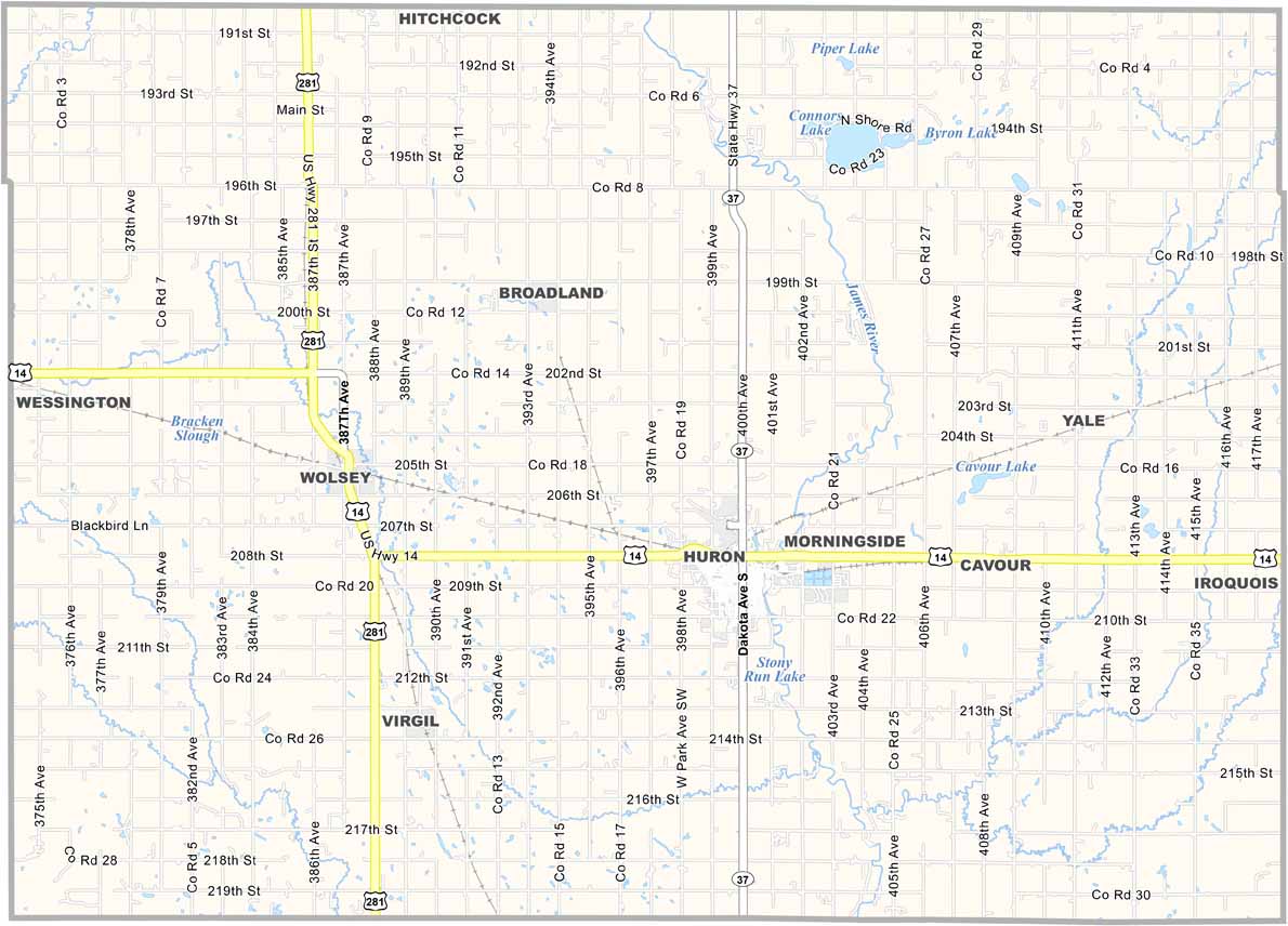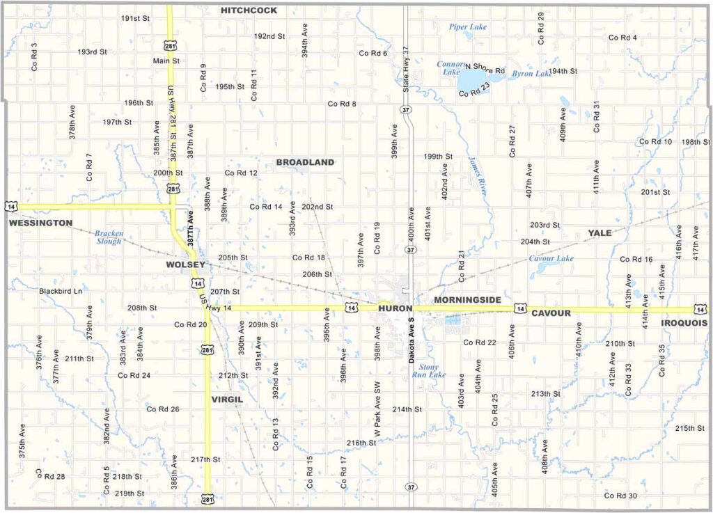
Beadle County Map, South Dakota

Beadle County, South Dakota

Beadle County sits in the heart of eastern South Dakota. It’s flat, with fields of wheat and corn stretching all the way to the horizon. Huron, the county seat, is famous for its massive pheasant statue.

They take their birds seriously around here. The county has a rich agricultural history. Summers are hot, while winters are freezing. That’s South Dakota for you.

The State Fair rolls into town each September, bringing rides, food, and plenty of fun. Beadle County is named after a territorial politician, though most locals probably couldn’t tell you much about him.
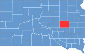

Beadle County location map of South Dakota
CategoryDetails
County NameBeadle County
County SeatHuron
EtymologyNamed after William Henry Harrison Beadle, a surveyor and educator
Cities, Towns, and CommunitiesHuron, Cavour, Hitchcock, Wessington
Interstates and HighwaysU.S. Highway 14, State Highway 37, State Highway 281
FIPS Code46-005
Total Area (Land and Water)1,265 square miles (1,251 sq mi land, 14 sq mi water)
Adjacent Counties (and Direction)Spink County (North), Clark County (Northeast), Kingsbury County (East), Sanborn County (Southeast), Jerauld County (Southwest), Hand County (West)
Time ZoneCentral Time Zone (CST)
StateSouth Dakota
Coordinates44°21’N, 98°13’W
Major LandmarksSouth Dakota State Fairgrounds, Huron Regional Airport, Ravine Lake
PopulationApproximately 19,000
Scroll to Top