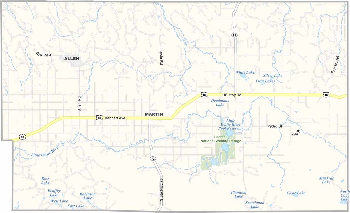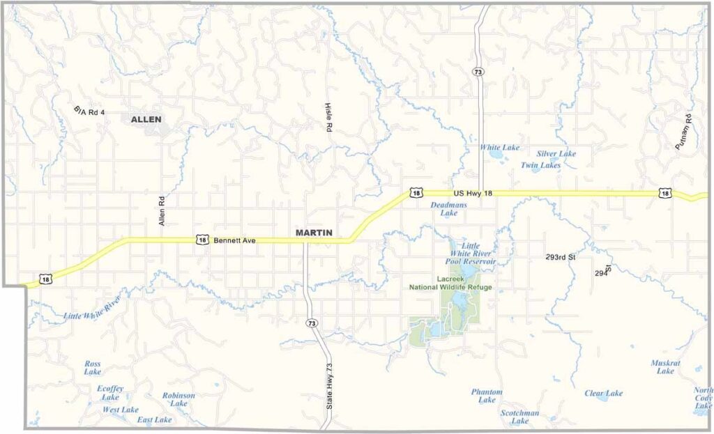
Bennett County Map, South Dakota

Bennett County, South Dakota

Bennett County hugs the southern border of South Dakota, right next to Nebraska. It’s mostly grassland, with a few buttes breaking up the skyline.

The people here are a mix of ranchers and farmers. Martin is the largest town, but don’t expect any skyscrapers. There’s not much nightlife, unless you count stargazing.

This is Lakota country, with the Pine Ridge Indian Reservation covering part of the county. People here have weathered droughts, blizzards, and everything in between.
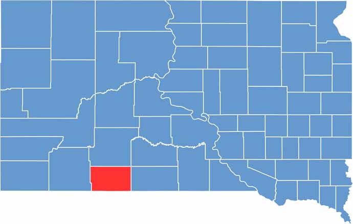

Bennett County location map of South Dakota
CategoryDetails
County NameBennett County
County SeatMartin
PopulationApproximately 3,500
Cities, Towns, and CommunitiesMartin, Allen, Tuthill, Vetal
Interstates and HighwaysU.S. Highway 18
FIPS Code46-007
Total Area (Land and Water)1,191 square miles (1,185 sq mi land, 6 sq mi water)
Adjacent Counties (and Direction)Jackson County (North), Mellette County (Northeast), Todd County (East), Cherry County, Nebraska (South), Sheridan County, Nebraska (Southwest), Oglala Lakota County (West)
Time ZoneMountain Time Zone (MST)
StateSouth Dakota
Coordinates43°11’N, 101°42’W
EtymologyNamed after Granville G. Bennett, justice of the Supreme Court for the Dakota Territory
Major LandmarksBennett County Courthouse, Lacreek National Wildlife Refuge
Scroll to Top