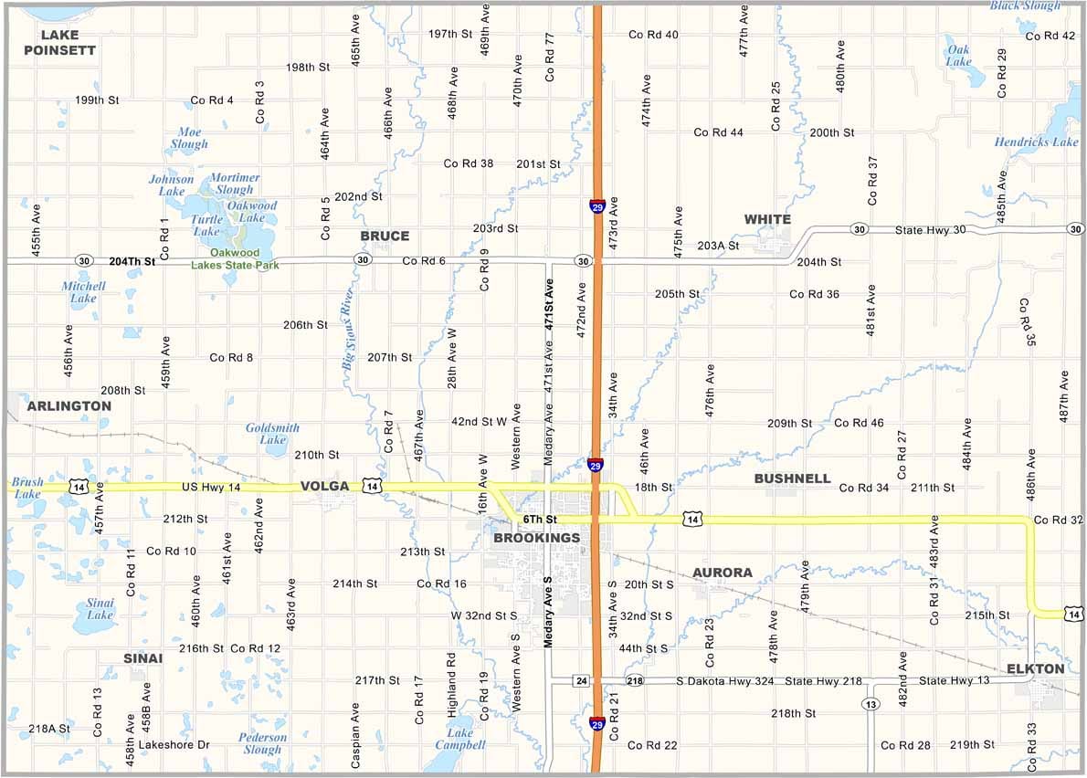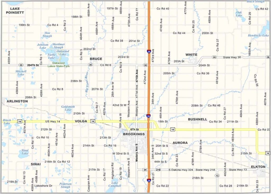
Brookings County Map, South Dakota

Brookings County, South Dakota

Brookings County sits in eastern South Dakota, just a stone’s throw from Minnesota. You’ll see cornfields stretching for miles, but there’s also a surprising number of tech companies.

It’s home to South Dakota State University, founded in 1881. The college team is called the Jackrabbits. Yep, they’re a big deal around here.

Brookings is the county seat and has a nice downtown. They’ve also got a pretty cool children’s museum. Outdoor enthusiasts love the county’s parks and trails. Not a bad combination, if you ask me.
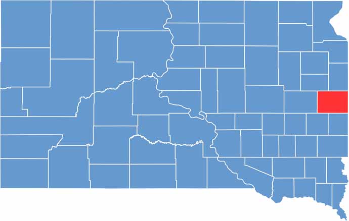

Brookings County location map of South Dakota
CategoryDetails
County NameBrookings County
County SeatBrookings
PopulationApproximately 37,000
Cities, Towns, and CommunitiesBrookings, Volga, Elkton, White, Aurora
Interstates and HighwaysInterstate 29, U.S. Highway 14
FIPS Code46-011
Total Area (Land and Water)805 square miles (792 sq mi land, 13 sq mi water)
Adjacent Counties (and Direction)Deuel County (North), Lincoln County, Minnesota (East), Pipestone County, Minnesota (Southeast), Moody County (South), Lake County (Southwest), Kingsbury County (West), Hamlin County (Northwest)
Time ZoneCentral Time Zone (CST)
StateSouth Dakota
Coordinates44°18’N, 96°48’W
EtymologyNamed after Wilmot Brookings, a pioneer and judge
Major LandmarksSouth Dakota State University, McCrory Gardens, Children’s Museum of South Dakota
Scroll to Top