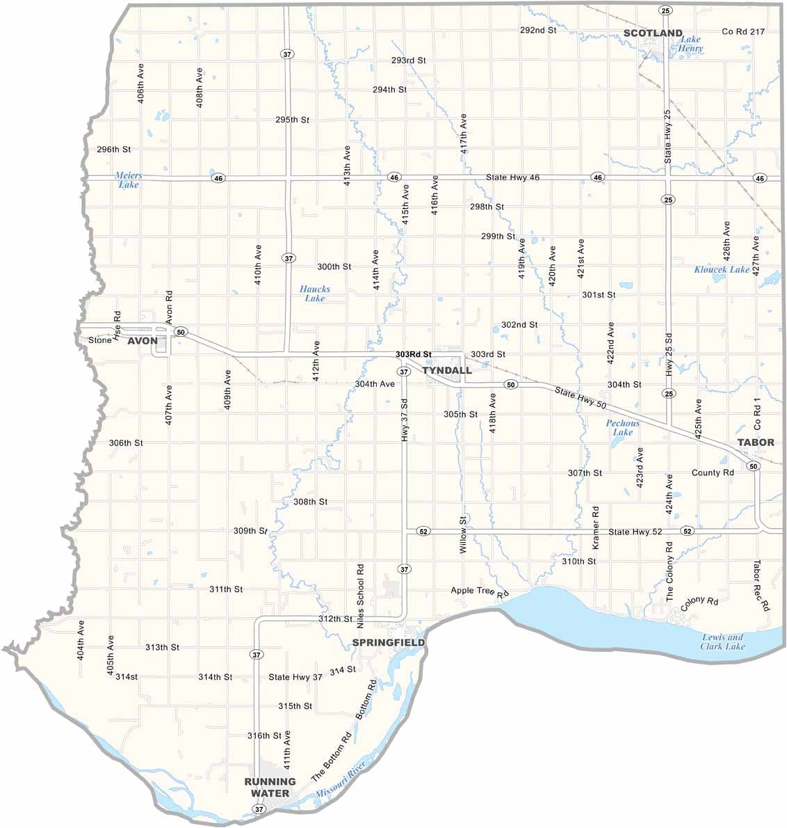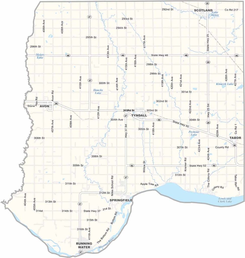
Bon Homme County Map, South Dakota

Bon Homme County Map, South Dakota

Bon Homme County lies in southeastern South Dakota, with the Missouri River forming its southern border. French fur trappers gave it its name, meaning “good man.”

Tyndall is the county seat, a small town with a big heart. You’ll find some of the state’s oldest buildings here. The county has a strong German and Czech heritage, so kolaches are a local favorite.

Farming is the main gig, but there’s good fishing too. People here value hard work and honesty above all else. That’s just the Bon Homme way.
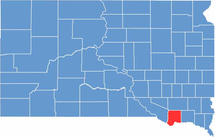

Bon Homme County location map of South Dakota
CategoryDetails
County NameBon Homme County
County SeatTyndall
PopulationApproximately 6,800
Cities, Towns, and CommunitiesTyndall, Springfield, Avon, Scotland, Tabor
Interstates and HighwaysU.S. Highway 18, State Highway 50, State Highway 37
FIPS Code46-009
Total Area (Land and Water)581 square miles (562 sq mi land, 19 sq mi water)
Adjacent Counties (and Direction)Hutchinson County (North), Yankton County (East), Knox County, Nebraska (South), Charles Mix County (West)
Time ZoneCentral Time Zone (CST)
StateSouth Dakota
Coordinates42°59’N, 97°52’W
EtymologyNamed after the French term “Bon Homme,” meaning “good man”
Major LandmarksBon Homme County Courthouse, Lewis and Clark Lake, Springfield State Recreation Area
Scroll to Top