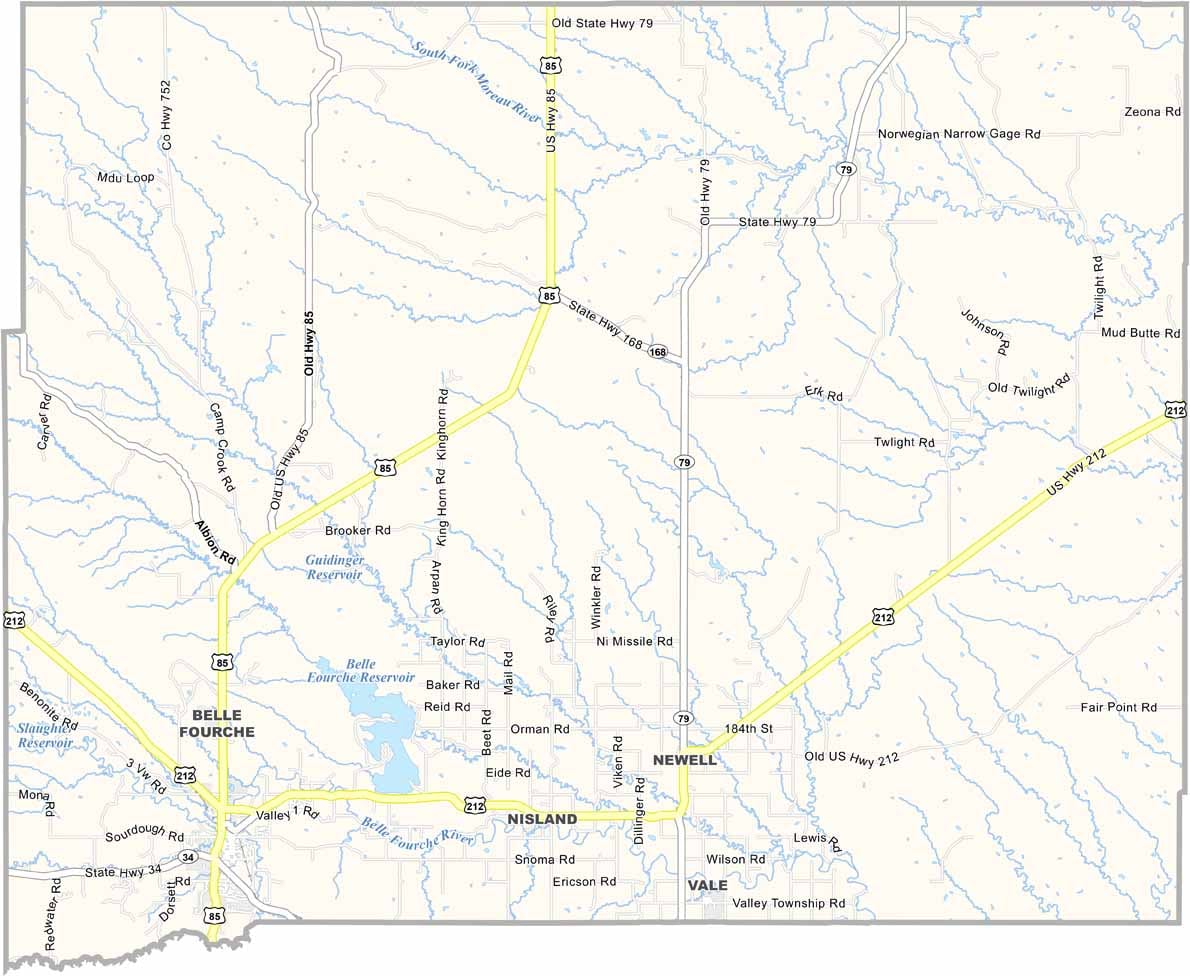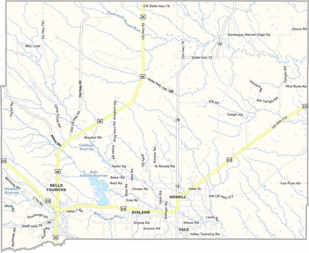
Butte County Map, South Dakota

Butte County, South Dakota

Butte County is in the far northwestern corner of South Dakota. It’s cattle country with a side of agriculture. The county gets its name from the buttes scattered across the landscape.

Belle Fourche, the county seat, calls itself the geographic center of the nation. They’ve even got a monument to prove it at the “Center of the Nation Monument.”

The annual Black Hills Roundup rodeo is a big deal around here. You’ll find more cows than people in Butte County. But the folks who live here can still show you that a handshake means something.
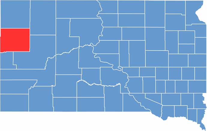

Butte County location map of South Dakota
CategoryDetails
County NameButte County
County SeatBelle Fourche
PopulationApproximately 11,000
Cities, Towns, and CommunitiesBelle Fourche, Newell, Nisland
Interstates and HighwaysU.S. Highway 85, U.S. Highway 212
FIPS Code46-019
Total Area (Land and Water)2,266 square miles (2,250 sq mi land, 16 sq mi water)
Adjacent Counties (and Direction)Harding County (North), Perkins County (Northeast), Meade County (Southeast), Lawrence County (Southwest), Crook County, Wyoming (West), Carter County, Montana (Northwest)
Time ZoneMountain Time Zone (MST)
StateSouth Dakota
Coordinates44°39’N, 103°53’W
EtymologyNamed after the buttes found in the area
Major LandmarksCenter of the Nation Monument, Tri-State Museum, Belle Fourche River
Scroll to Top