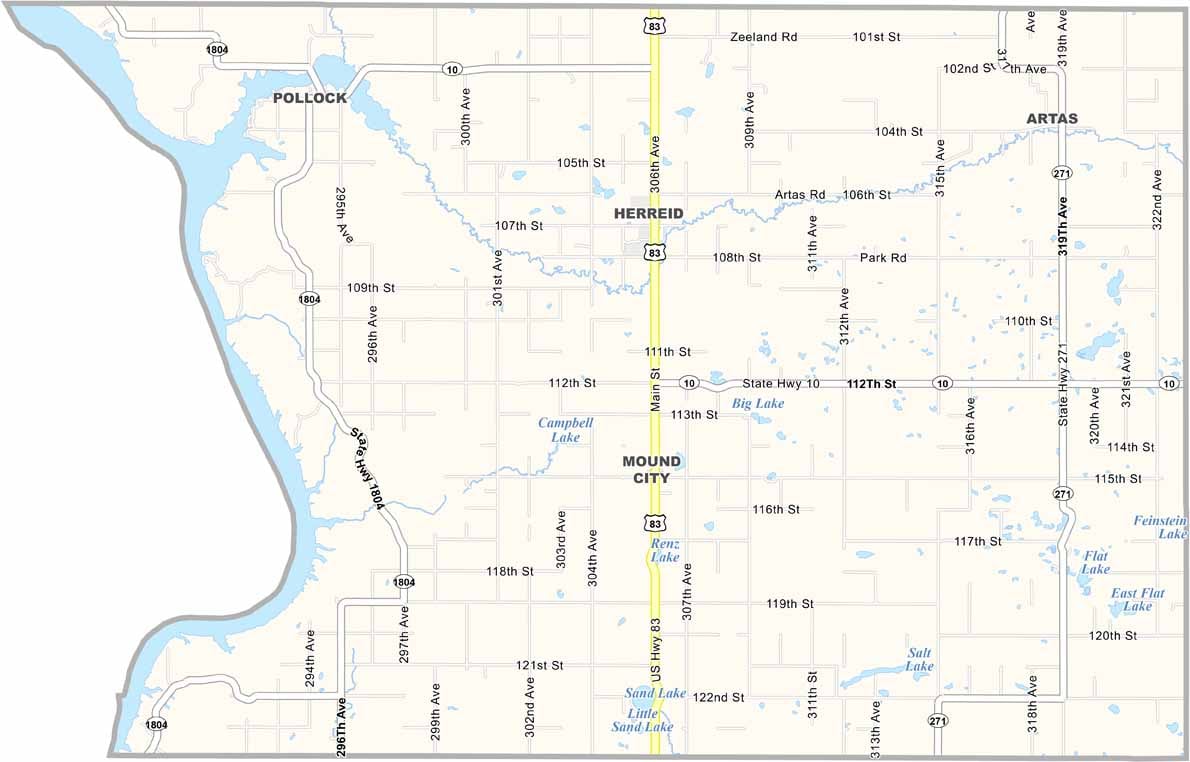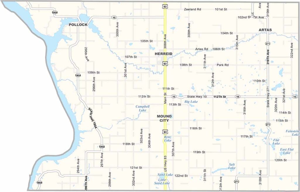
Campbell County Map, South Dakota

Campbell County, South Dakota

Campbell County sits in north-central South Dakota, right up against North Dakota. It’s one of the least populous counties in the state. Mound City is the county seat, but we’re talking seriously rural here.

The Missouri River forms the western border, with small lakes scattered throughout the county. That means good fishing, if you can handle the weather.

Agriculture is the main industry. Wheat, corn, and cattle are what you’ll see. The people here are tough. They have to be. It’s not an easy place to live. So, if you like peace and quiet, Campbell County definitely has it.
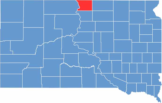

Campbell County location map of South Dakota
CategoryDetails
County NameCampbell County
County SeatMound City
PopulationApproximately 1,300
Cities, Towns, and CommunitiesMound City, Herreid, Pollock
Interstates and HighwaysU.S. Highway 83
FIPS Code46-021
Total Area (Land and Water)771 square miles (734 sq mi land, 37 sq mi water)
Adjacent Counties (and Direction)Emmons County, North Dakota (North), McIntosh County, North Dakota (Northeast), McPherson County (East), Walworth County (South), Corson County (West)
Time ZoneCentral Time Zone (CST)
StateSouth Dakota
Coordinates45°45’N, 100°05’W
EtymologyNamed after Norman B. Campbell, a legislator in the Dakota Territory
Major LandmarksLake Oahe, Campbell County Courthouse
Scroll to Top