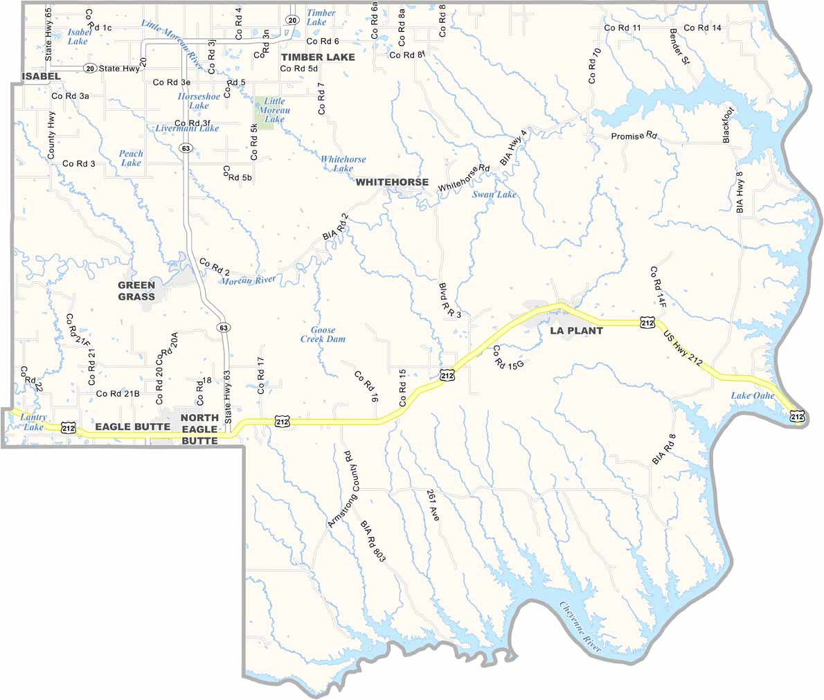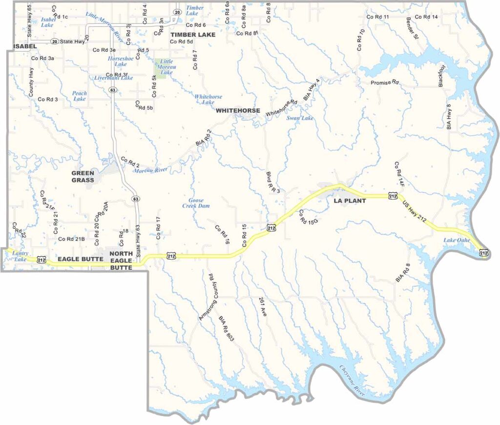
Dewey County Map, South Dakota

Dewey County, South Dakota

Dewey County is located in north-central South Dakota. The Missouri River forms the county’s eastern border, while a large portion of the area lies within the Cheyenne River Indian Reservation.

Ranching is a major part of life here, with cattle grazing across the open plains. The county is named after William P. Dewey, a surveyor.

Timber Lake serves as the county seat and is a small, close-knit community. The landscape is rugged and beautiful, and Dewey County is also one of the largest counties in South Dakota by area.
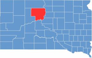

Dewey County location map of South Dakota
CategoryDetails
County NameDewey County
County SeatTimber Lake
EtymologyNamed after William P. Dewey, a territorial legislator
Cities, Towns, and CommunitiesTimber Lake, Eagle Butte, Isabel, Glencross, Lantry
Interstates and HighwaysU.S. Highway 212
FIPS Code46-041
Total Area (Land and Water)2,345 square miles (2,302 sq mi land, 43 sq mi water)
Adjacent Counties (and Direction)Corson County (North), Walworth County (Northeast), Potter County (East), Sully County (Southeast), Stanley County (South), Ziebach County (West)
Time ZoneMountain Time Zone (MST)
StateSouth Dakota
Coordinates45°16’N, 100°42’W
Major LandmarksCheyenne River Indian Reservation, Timber Lake Museum
PopulationApproximately 5,300
Scroll to Top