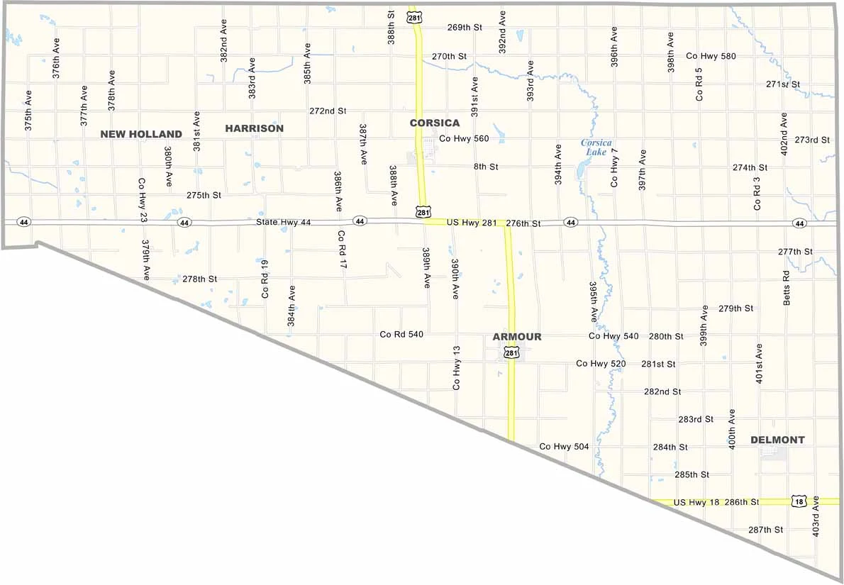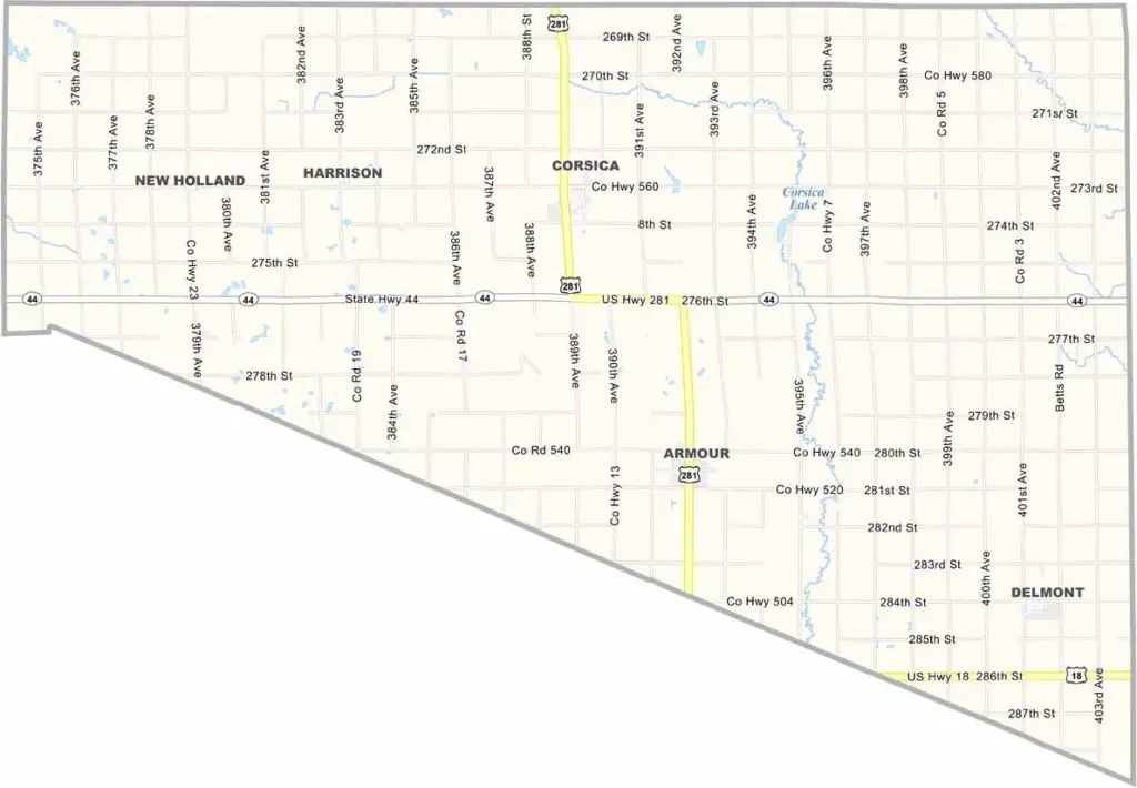
Douglas County Map, South Dakota

Douglas County, South Dakota

Douglas County sits in southeastern South Dakota. It’s not a large county, but it has plenty of charm. Farmers here know their stuff, with corn and soybeans among the common crops.

Armour serves as the county seat and is home to a historic courthouse dating to 1886. Locals are big on high school sports, while fishing and camping are popular at Corsica Lake.

The county is named after Stephen A. Douglas, who lost to Lincoln in the 1860 presidential race. Winters can be rough, but the people are tougher. Community means everything in Douglas County, and you’ll find some of the friendliest folks around these parts.
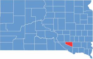

Douglas County location map of South Dakota
CategoryDetails
County NameDouglas County
County SeatArmour
EtymologyNamed after Stephen A. Douglas, a U.S. Senator from Illinois
Cities, Towns, and CommunitiesArmour, Corsica, Delmont
Interstates and HighwaysState Highway 44, State Highway 281
FIPS Code46-043
Total Area (Land and Water)434 square miles (432 sq mi land, 2 sq mi water)
Adjacent Counties (and Direction)Aurora County (North), Davison County (Northeast), Hutchinson County (East), Charles Mix County (Southwest)
Time ZoneCentral Time Zone (CST)
StateSouth Dakota
Coordinates43°25’N, 98°20’W
Major LandmarksDouglas County Courthouse, Lake Andes National Wildlife Refuge
PopulationApproximately 3,000
Scroll to Top