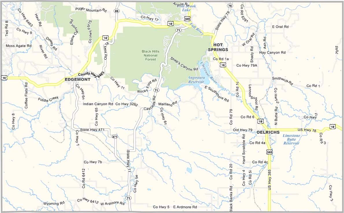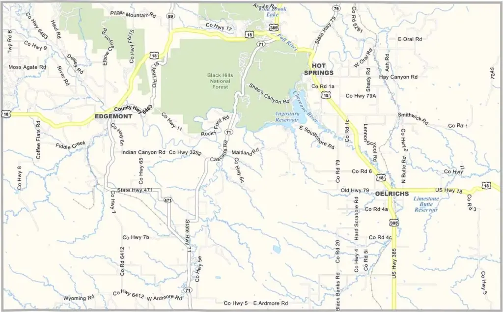
Fall River County Map, South Dakota

Fall River County, South Dakota

Fall River County is located in the southwestern corner of South Dakota. Hot Springs, the county seat, lives up to its name with its warm mineral springs. Ranching is a major part of the local economy.

The landscape changes from open prairie to pine-covered hills within the Black Hills National Forest. Angostura Reservoir attracts boaters and fishermen. The Mammoth Site is also located here, making the county a dream for paleontologists.

Overall, Fall River County has a little bit of everything. It even has a wild horse sanctuary. Historians enjoy exploring the old frontier towns, and it’s the kind of place that grows on you.
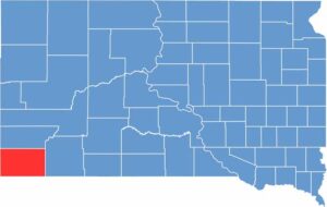

Fall River County location map of South Dakota
CategoryDetails
County NameFall River County
County SeatHot Springs
EtymologyNamed after the Fall River, which runs through the county
Cities, Towns, and CommunitiesHot Springs, Edgemont, Oelrichs, Oral
Interstates and HighwaysU.S. Highway 18, U.S. Highway 385
FIPS Code46-047
Total Area (Land and Water)1,749 square miles (1,740 sq mi land, 9 sq mi water)
Adjacent Counties (and Direction)Custer County (North), Oglala Lakota County (East), Dawes County, Nebraska (Southeast), Sioux County, Nebraska (South), Niobrara County, Wyoming (West)
Time ZoneMountain Time Zone (MST)
StateSouth Dakota
Coordinates43°18’N, 103°29’W
Major LandmarksWind Cave National Park, Evans Plunge Mineral Springs, Mammoth Site of Hot Springs
PopulationApproximately 7,500
Scroll to Top