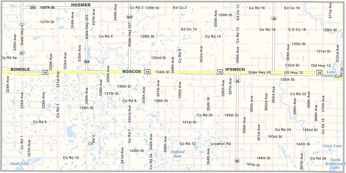
Edmunds County Map, South Dakota

Edmunds County, South Dakota

Edmunds County is located in north-central South Dakota. Agriculture is the main industry here, much like in most of the state. The county is named after Newton Edmunds, an early governor.

Ipswich, the largest town, has fewer than a thousand residents. But don’t let that fool you. There’s plenty going on, with pheasant hunting being especially popular.

The county is known for its spectacular sunsets. Locals take pride in their German-Russian heritage. Winters are long, but summer brings county fairs and rodeos. If you’re looking for wide-open spaces, Edmunds County has plenty of them.
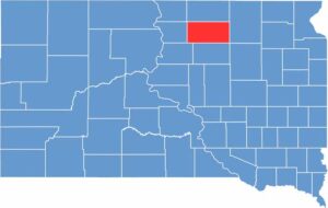

Edmunds County location map of South Dakota
CategoryDetails
County NameEdmunds County
County SeatIpswich
EtymologyNamed after Newton Edmunds, a governor of Dakota Territory
Cities, Towns, and CommunitiesIpswich, Bowdle, Roscoe, Hosmer
Interstates and HighwaysU.S. Highway 12
FIPS Code46-045
Total Area (Land and Water)1,151 square miles (1,126 sq mi land, 25 sq mi water)
Adjacent Counties (and Direction)McPherson County (North), Brown County (East), Faulk County (South), Potter County (Southwest), Walworth County (West)
Time ZoneCentral Time Zone (CST)
StateSouth Dakota
Coordinates45°26’N, 99°14’W
Major LandmarksMina Lake Recreation Area, Edmunds County Courthouse
PopulationApproximately 3,800
Scroll to Top