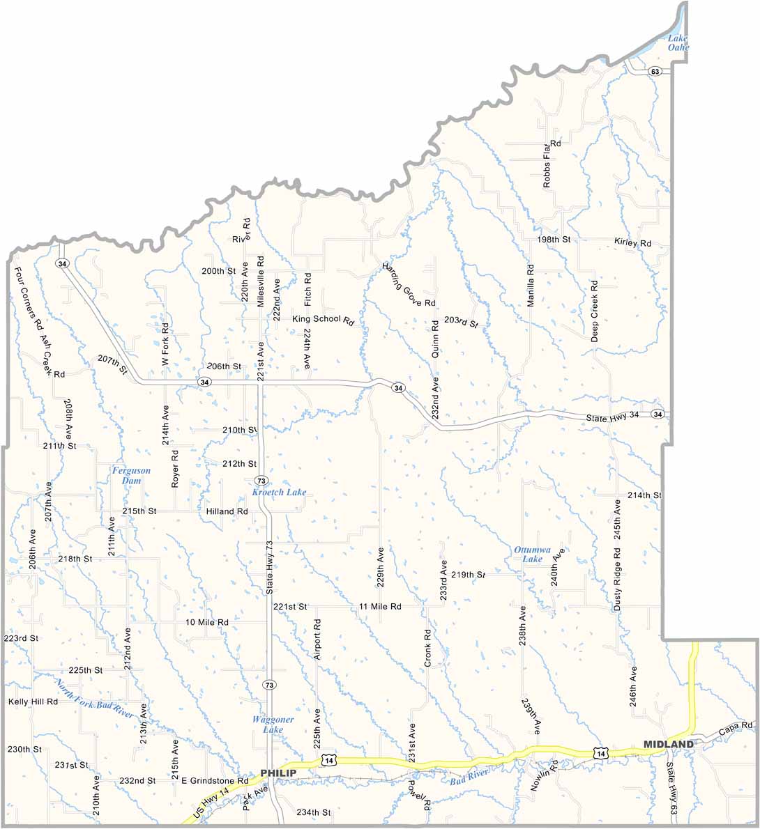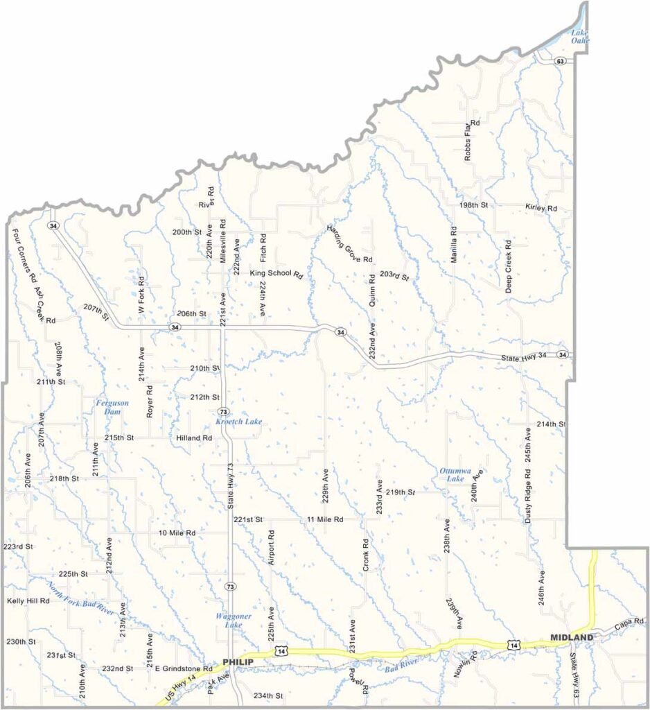
Haakon County Map, South Dakota

Haakon County, South Dakota

Wide-open spaces define the landscape of Haakon County in central South Dakota. It’s ranching country, pure and simple. The county is named after a Norwegian king, of all things.

Philip, the largest town and county seat, has barely a thousand residents. But don’t let that fool you—there’s plenty of community spirit.

The Bad River runs through the county, carving across the prairie. Stargazing is incredible here, thanks to the lack of light pollution. If you’re into geology, the nearby Badlands are a must-see. People here are as genuine as they come.
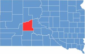

Haakon County location map of South Dakota
CategoryDetails
County NameHaakon County
County SeatPhilip
EtymologyNamed after Haakon VII, the first king of Norway in the modern era
Cities, Towns, and CommunitiesPhilip, Milesville, Midland
Interstates and HighwaysU.S. Highway 14, State Highway 73
FIPS Code46-055
Total Area (Land and Water)1,827 square miles (1,811 sq mi land, 16 sq mi water)
Adjacent Counties (and Direction)Ziebach County (North), Stanley County (East), Jones County (Southeast), Jackson County (South), Pennington County (West)
Time ZoneMountain Time Zone (MST)
StateSouth Dakota
Coordinates44°30’N, 101°40’W
Major LandmarksBadlands National Park (part), Lake Waggoner, Philip Pioneer Museum
PopulationApproximately 1,800
Scroll to Top