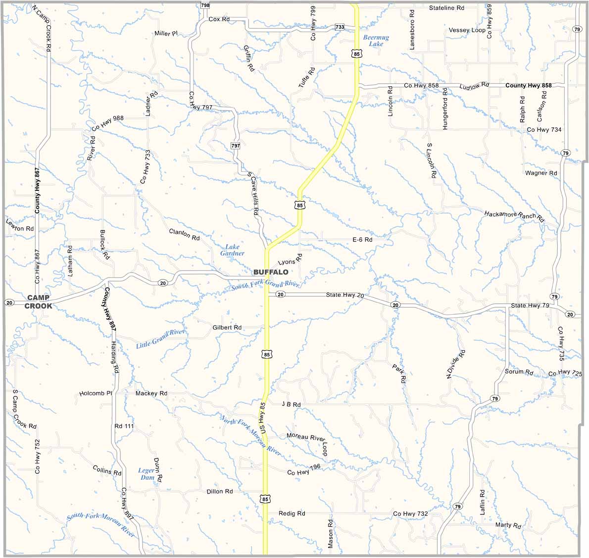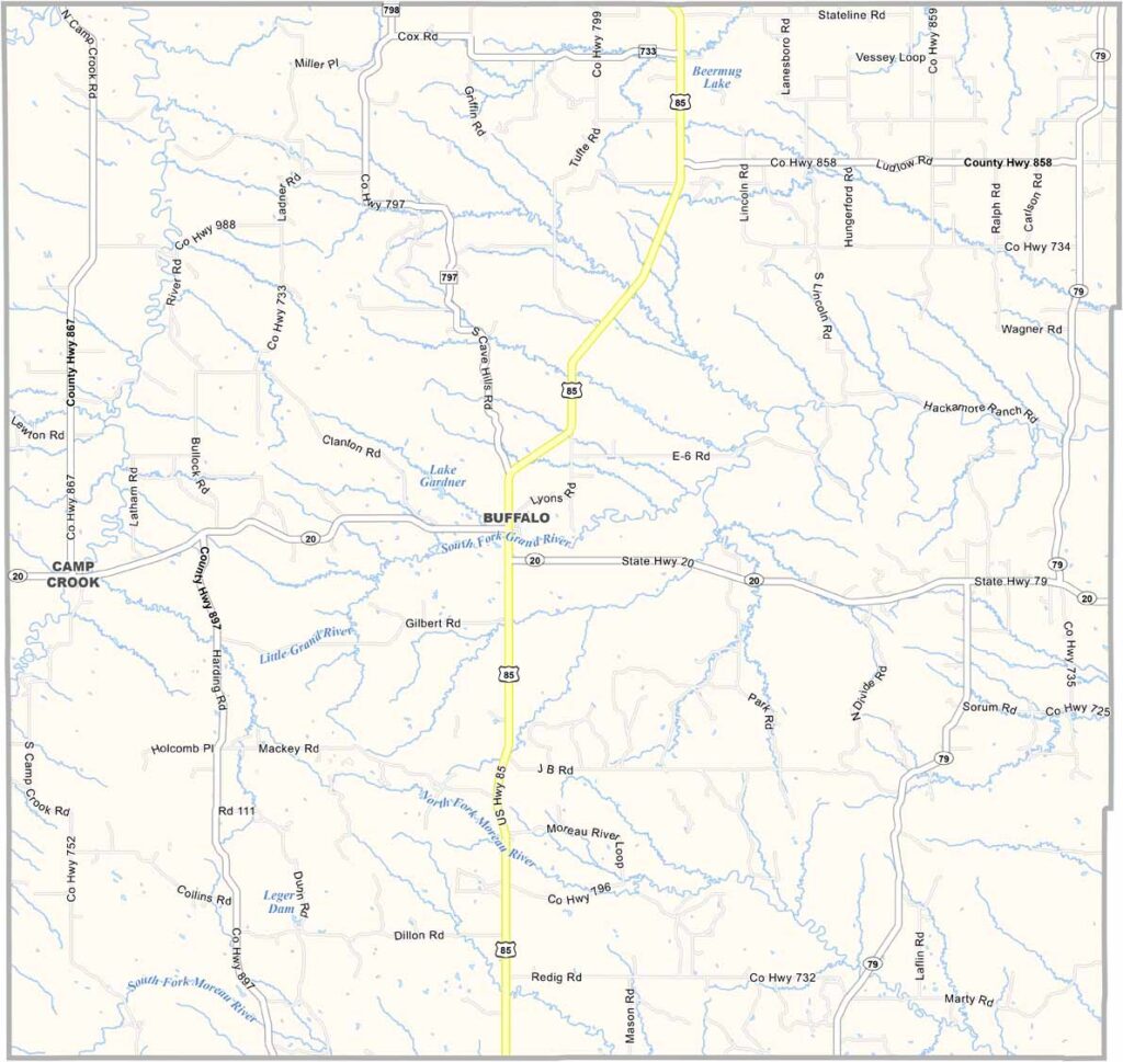
Harding County Map, South Dakota

Harding County, South Dakota

Harding County sits way out in the northwestern corner of South Dakota. It covers so much land that it’s larger than the states of Rhode Island or Delaware.

Buffalo serves as the county seat. Yep, that’s the name of the town. If you’re interested in history, check out the Slim Buttes battlefield site from the Great Sioux War, located east of Buffalo.

The landscape is mostly grasslands and badlands, but few people live here. Just about 1,300 call the county home. Ranching is huge, and so is oil production. The area also has some of the darkest night skies in the country, making it perfect for stargazing.
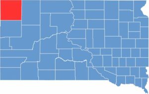

Harding County location map of South Dakota
CategoryDetails
County NameHarding County
County SeatBuffalo
EtymologyNamed after John A. Harding, a state legislator
Cities, Towns, and CommunitiesBuffalo, Camp Crook, Ludlow, Redig
Interstates and HighwaysU.S. Highway 85
FIPS Code46-063
Total Area (Land and Water)2,678 square miles (2,673 sq mi land, 5 sq mi water)
Adjacent Counties (and Direction)Bowman County, North Dakota (North), Adams County, North Dakota (Northeast), Perkins County (East), Butte County (South), Carter County, Montana (West), Fallon County, Montana (Northwest)
Time ZoneMountain Time Zone (MST)
StateSouth Dakota
Coordinates45°35’N, 103°29’W
Major LandmarksSlim Buttes, Custer National Forest, Harding County Courthouse
PopulationApproximately 1,200
Scroll to Top