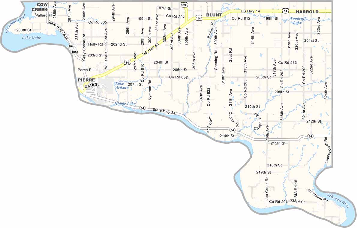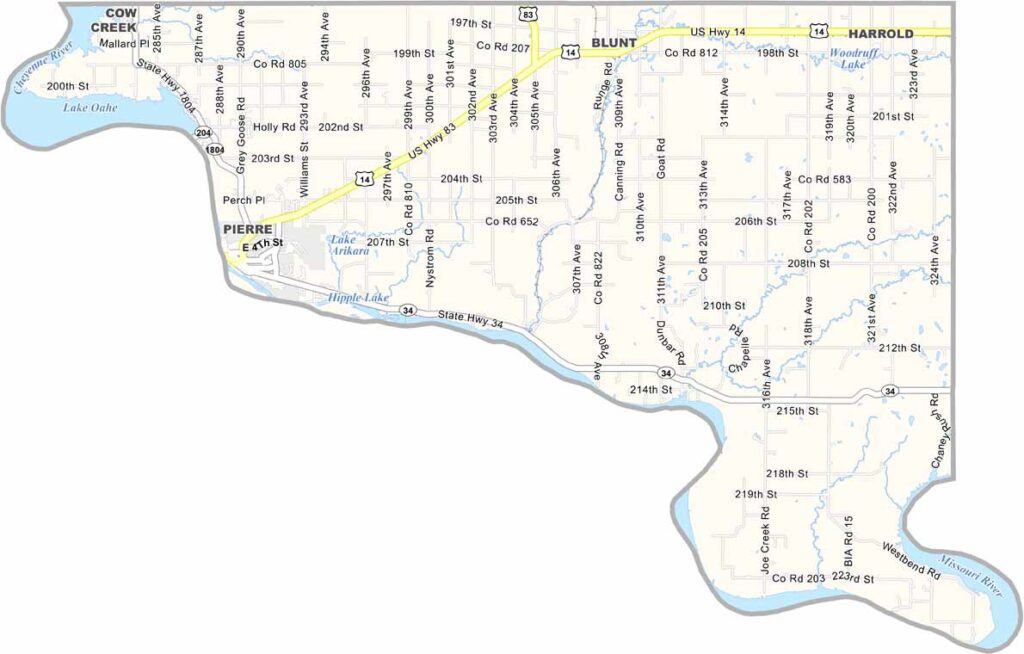
Hughes County Map, South Dakota

Hughes County, South Dakota

Hughes County sits right in the heart of South Dakota. Pierre, the state capital, calls this county home. It’s not a big place, but it carries plenty of influence.

The Missouri River cuts through the area and forms the western border. Bluffs and rolling hills shape the landscape, creating a mix of prairie and river valley.

Ranching is a major part of the economy, while government work is also important thanks to Pierre. Oahe Dam looms large, both literally and economically. Fishing is a favorite pastime, with walleye always drawing anglers in. They say the summer sunsets over the river are unbeatable here.
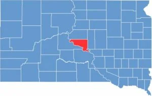

Hughes County location map of South Dakota
CategoryDetails
County NameHughes County
County SeatPierre
EtymologyNamed after Alexander Hughes, a legislator in the Dakota Territory
Cities, Towns, and CommunitiesPierre, Blunt, Harrold
Interstates and HighwaysU.S. Highway 14, U.S. Highway 83
FIPS Code46-065
Total Area (Land and Water)801 square miles (742 sq mi land, 59 sq mi water)
Adjacent Counties (and Direction)Sully County (North), Hyde County (East), Lyman County (South), Stanley County (West)
Time ZoneCentral Time Zone (CST)
StateSouth Dakota
Coordinates44°23’N, 100°19’W
Major LandmarksSouth Dakota State Capitol, Oahe Dam, LaFramboise Island Nature Area
PopulationApproximately 18,000
Scroll to Top