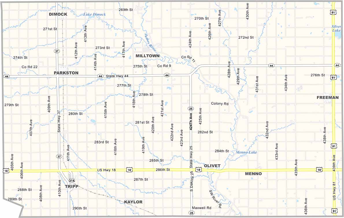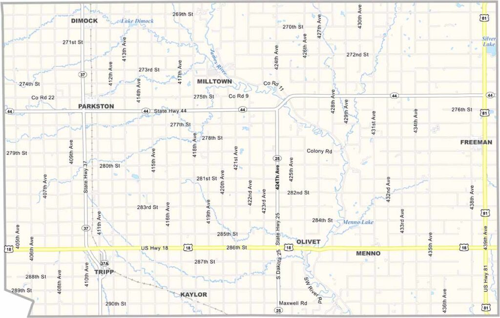
Hutchinson County Map, South Dakota

Hutchinson County, South Dakota

Hutchinson County sits in southeastern South Dakota. Farming is the main part of the local economy, with plenty of corn, soybeans, and cattle across the area.

The James River flows through the county. Parkston is the largest town, while Olivet serves as the county seat. About 7,000 people live throughout the county.

Small towns like Menno and Parkston celebrate the area’s cultural roots through traditional festivals and community events. Its friendly communities make Hutchinson County a true part of South Dakota’s heartland.
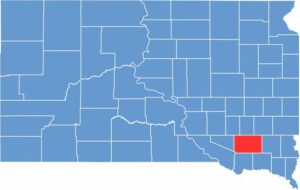

Hutchinson County location map of South Dakota
CategoryDetails
County NameHutchinson County
County SeatOlivet
EtymologyNamed after John Hutchinson, a legislator in the Dakota Territory
Cities, Towns, and CommunitiesParkston, Freeman, Menno, Tripp, Olivet
Interstates and HighwaysU.S. Highway 18, State Highway 44
FIPS Code46-067
Total Area (Land and Water)814 square miles (813 sq mi land, 1 sq mi water)
Adjacent Counties (and Direction)Hanson County (North), McCook County (Northeast), Turner County (East), Yankton County (Southeast), Bon Homme County (South), Charles Mix County (Southwest), Douglas County (West), Davison County (Northwest)
Time ZoneCentral Time Zone (CST)
StateSouth Dakota
Coordinates43°19’N, 97°44’W
Major LandmarksLake Menno, Hutchinson County Courthouse, Freeman Academy Museum
PopulationApproximately 7,200
Scroll to Top