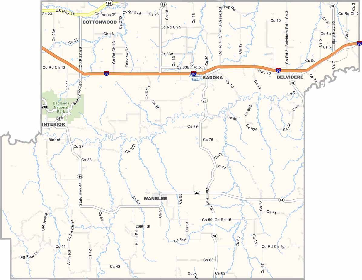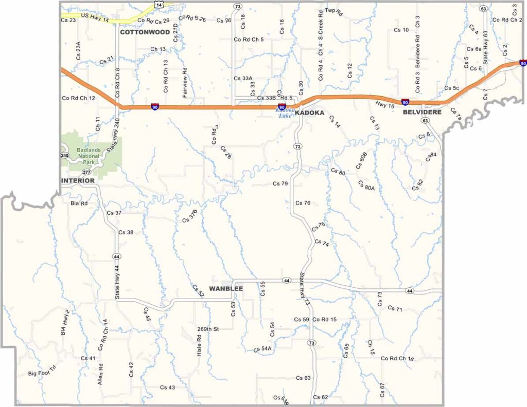
Jackson County Map, South Dakota

Jackson County, South Dakota

Jackson County sits in southwestern South Dakota. Badlands National Park extends into the county’s western edge, while the Minuteman Missile National Historic Site Visitor Center features exhibits about the Cold War.

Cattle far outnumber people in Jackson County. It’s not exactly a major tourist destination, but that’s part of its charm.

Kadoka serves as the county seat and is about as small-town as it gets. There’s a certain rawness to Jackson County. It’s not for everyone, but those who love it wouldn’t have it any other way.
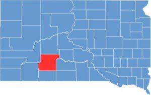

Jackson County location map of South Dakota
CategoryDetails
County NameJackson County
County SeatKadoka
EtymologyNamed after J.R. Jackson, territorial legislator
Cities, Towns, and CommunitiesKadoka, Belvidere, Interior, Cottonwood
Interstates and HighwaysInterstate 90, U.S. Highway 14
FIPS Code46-071
Total Area (Land and Water)1,871 square miles (1,864 sq mi land, 7 sq mi water)
Adjacent Counties (and Direction)Haakon County (North), Jones County (Northeast), Mellette County (East), Todd County (Southeast), Bennett County (South), Oglala Lakota County (Southwest), Pennington County (Northwest)
Time ZoneMountain Time Zone (MST)
StateSouth Dakota
Coordinates43°44’N, 101°37’W
Major LandmarksBadlands National Park, Jackson County Courthouse, Kadoka Depot Museum
PopulationApproximately 3,200
Scroll to Top