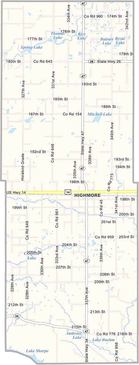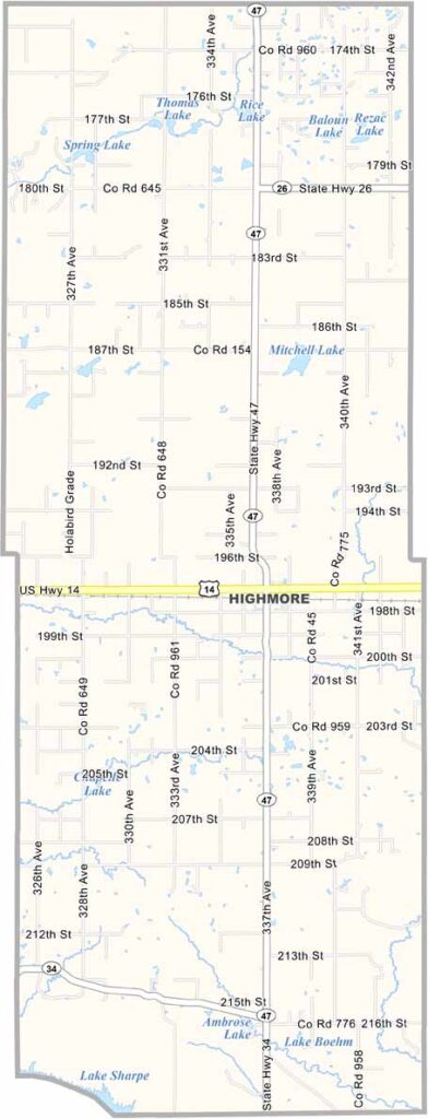
Hyde County Map, South Dakota

Hyde County, South Dakota

Hyde County sits in central South Dakota. It’s wide-open country with big skies and not many people, with maybe 1,300 residents in total.

Highmore serves as the county seat and is the largest community. The land is mostly flat, making it well suited for farming and ranching.

Winters are tough, but the people are tougher. It’s a sparsely populated area known for its open prairies, agricultural land, and abundant wildlife.
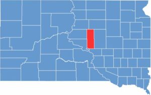

Hyde County location map of South Dakota
CategoryDetails
County NameHyde County
County SeatHighmore
EtymologyNamed after James Hyde, a member of the territorial legislature
Cities, Towns, and CommunitiesHighmore, Holabird, Stephan
Interstates and HighwaysU.S. Highway 14
FIPS Code46-069
Total Area (Land and Water)868 square miles (861 sq mi land, 7 sq mi water)
Adjacent Counties (and Direction)Faulk County (North), Hand County (East), Buffalo County (South), Lyman County (Southwest), Hughes County (Southwest), Sully County (West), Potter County (Northwest)
Time ZoneCentral Time Zone (CST)
StateSouth Dakota
Coordinates44°30’N, 99°28’W
Major LandmarksLake Louise State Recreation Area, Hyde County Courthouse
PopulationApproximately 1,300
Scroll to Top