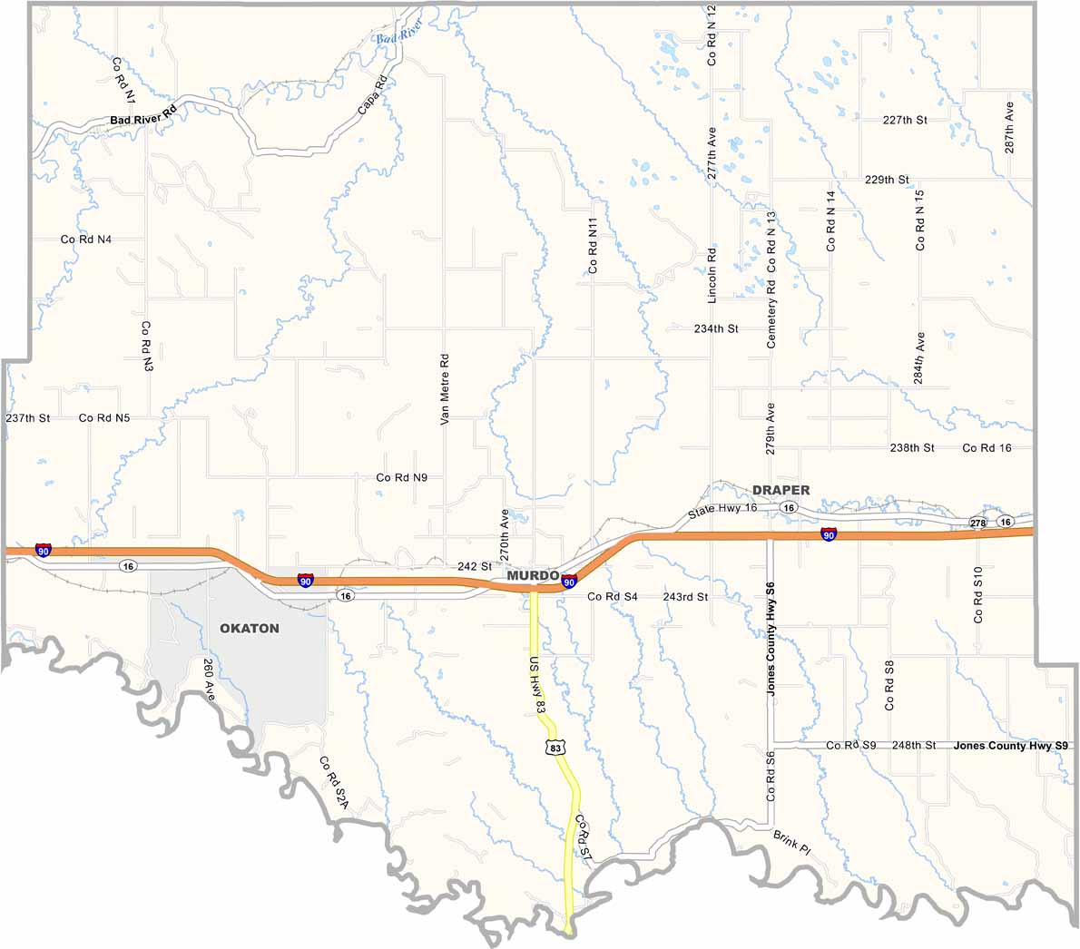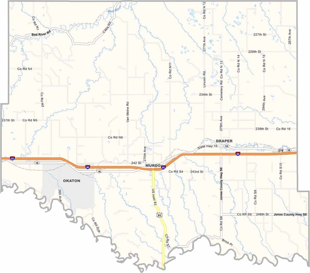
Jones County Map, South Dakota

Jones County, South Dakota

Jones County sits near the center of South Dakota. It’s wide-open country, the kind of place that makes you feel small—but in a good way, of course.

Murdo is the largest town and home to the Pioneer Auto Show, a favorite with car enthusiasts. The White River runs through the county, as does I-90.

About 1,000 people live here. Ranching is a major part of life, along with winter wheat. The wind never seems to stop blowing, and neither do the stories. Old-timers still talk about the Dust Bowl days and how the county got its name. It’s a place with deep roots and a long memory.
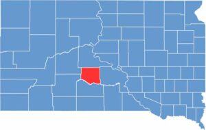

Jones County location map of South Dakota
CategoryDetails
County NameJones County
County SeatMurdo
EtymologyNamed after George W. Jones, a territorial legislator
Cities, Towns, and CommunitiesMurdo, Draper
Interstates and HighwaysInterstate 90, U.S. Highway 83
FIPS Code46-075
Total Area (Land and Water)971 square miles (970 sq mi land, 1 sq mi water)
Adjacent Counties (and Direction)Stanley County (North), Lyman County (East), Mellette County (South), Jackson County (Southwest), Haakon County (Northwest)
Time ZoneCentral Time Zone (CST)
StateSouth Dakota
Coordinates43°58’N, 100°42’W
Major LandmarksPioneer Auto Museum, Jones County Courthouse
PopulationApproximately 900
Scroll to Top