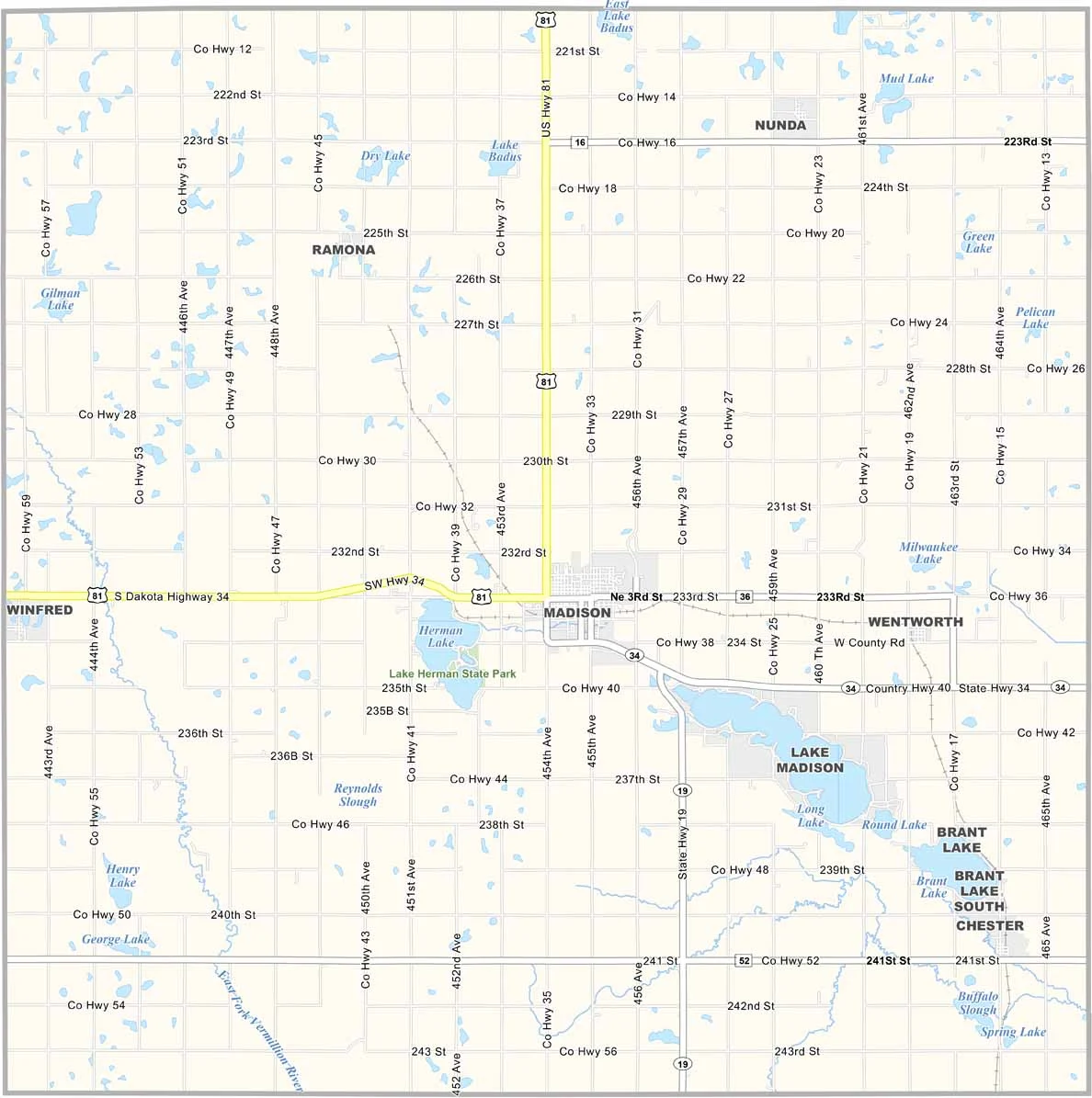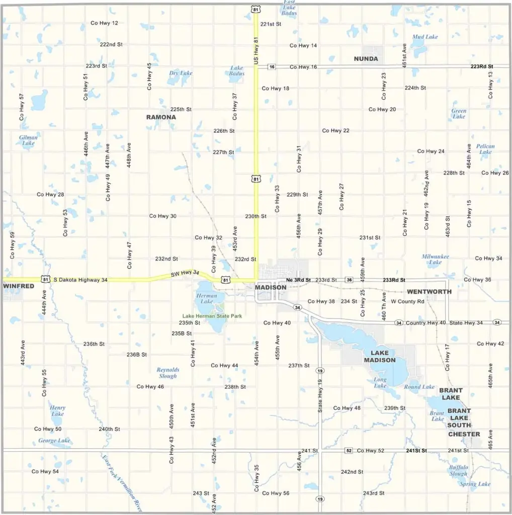
Lake County Map, South Dakota

Lake County, South Dakota

The name says it all. Lakes are everywhere in this part of South Dakota, including Lake Madison, Lake Herman, and Brant Lake.

Lake County is located in eastern South Dakota, with Madison serving as the county seat. It’s home to Dakota State University, and the tech industry has become an important part of the area.

Agriculture is just as important. About 13,000 people live in Lake County. Summers are all about the lakes—fishing, boating, and swimming. Winters bring their own activities, with ice fishing and basketball keeping people busy.
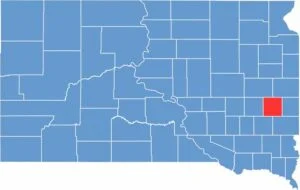

Lake County location map of South Dakota
CategoryDetails
County NameLake County
County SeatMadison
EtymologyNamed for the abundance of lakes in the county
Cities, Towns, and CommunitiesMadison, Wentworth, Ramona, Nunda
Interstates and HighwaysU.S. Highway 81, State Highway 34
FIPS Code46-079
Total Area (Land and Water)575 square miles (563 sq mi land, 12 sq mi water)
Adjacent Counties (and Direction)Brookings County (Northeast), Moody County (East), Minnehaha County (Southeast), McCook County (Southwest), Miner County (West), Kingsbury County (Northwest)
Time ZoneCentral Time Zone (CST)
StateSouth Dakota
Coordinates44°00’N, 97°07’W
Major LandmarksPrairie Village, Lake Herman State Park, Dakota State University
PopulationApproximately 13,000
Scroll to Top