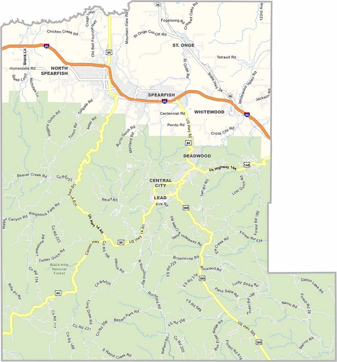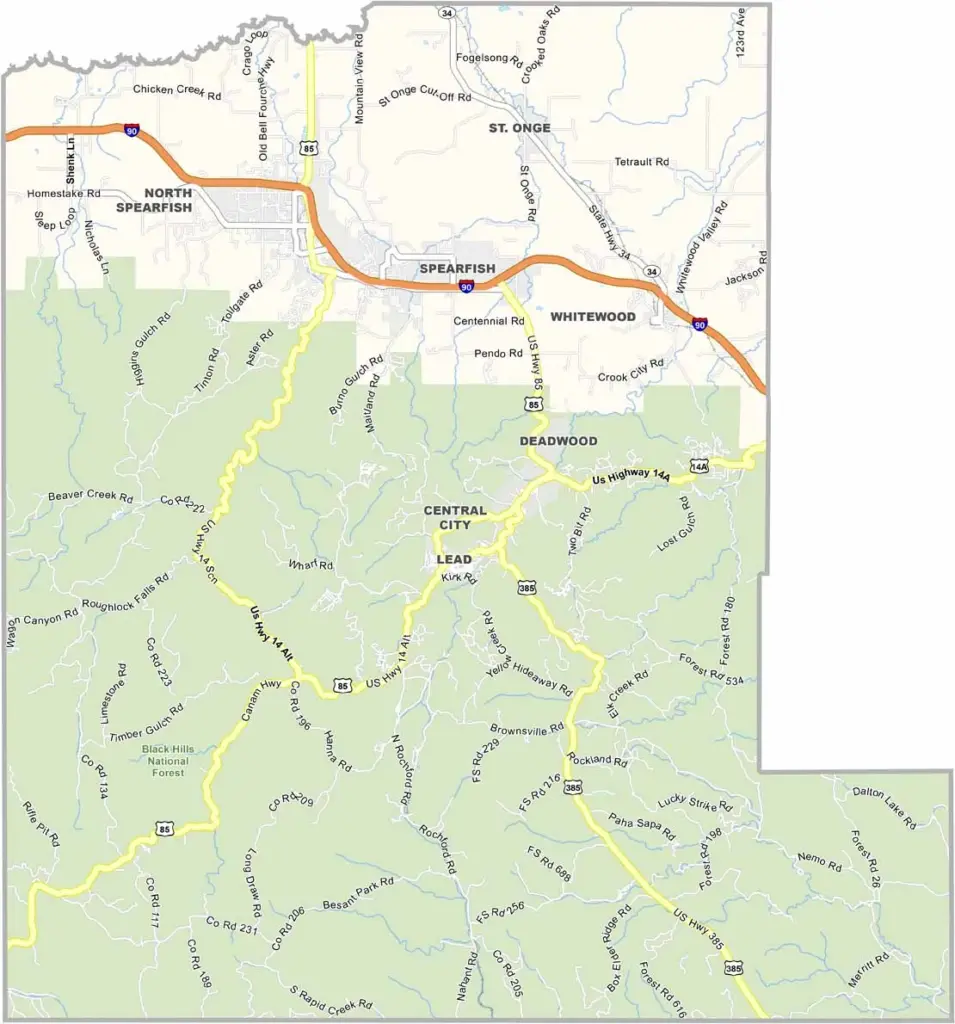
Lawrence County Map, South Dakota

Lawrence County, South Dakota

Lawrence County is where the Black Hills really show off. Located in western South Dakota along the Wyoming border, about two-thirds of the county is covered by Black Hills National Forest.

Deadwood, the county seat, is famous for its Wild West history. Gambling and gold put this place on the map, along with stories like the “Dead Man’s Hand.” But there’s more to Lawrence County than just casinos.

Spearfish Canyon is a natural wonder, with scenery that will knock your socks off. Outdoor enthusiasts come year-round for hiking, biking, and skiing. The economy is diverse, with tourism, mining, and education all playing a role.
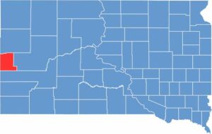

Lawrence County location map of South Dakota
CategoryDetails
County NameLawrence County
County SeatDeadwood
EtymologyNamed after John Lawrence, a territorial legislator
Cities, Towns, and CommunitiesDeadwood, Spearfish, Lead, Central City, Whitewood
Interstates and HighwaysInterstate 90, U.S. Highway 14A, U.S. Highway 85
FIPS Code46-081
Total Area (Land and Water)800 square miles (800 sq mi land, <1 sq mi water)
Adjacent Counties (and Direction)Butte County (North), Meade County (East), Pennington County (South), Weston County, Wyoming (Southwest), Crook County, Wyoming (West)
Time ZoneMountain Time Zone (MST)
StateSouth Dakota
Coordinates44°22’N, 103°46’W
Major LandmarksMount Moriah Cemetery, Black Hills National Forest, Homestake Gold Mine, Spearfish Canyon
PopulationApproximately 27,000
Scroll to Top