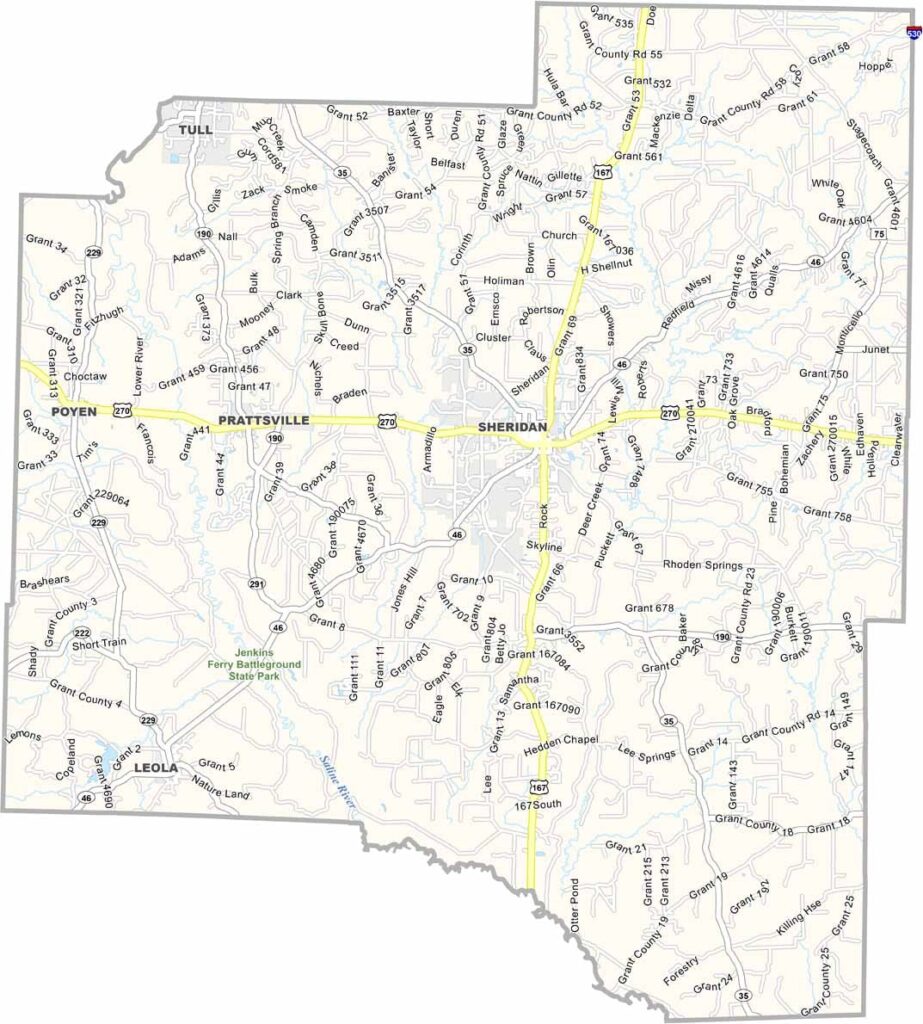
Grant County, Arkansas

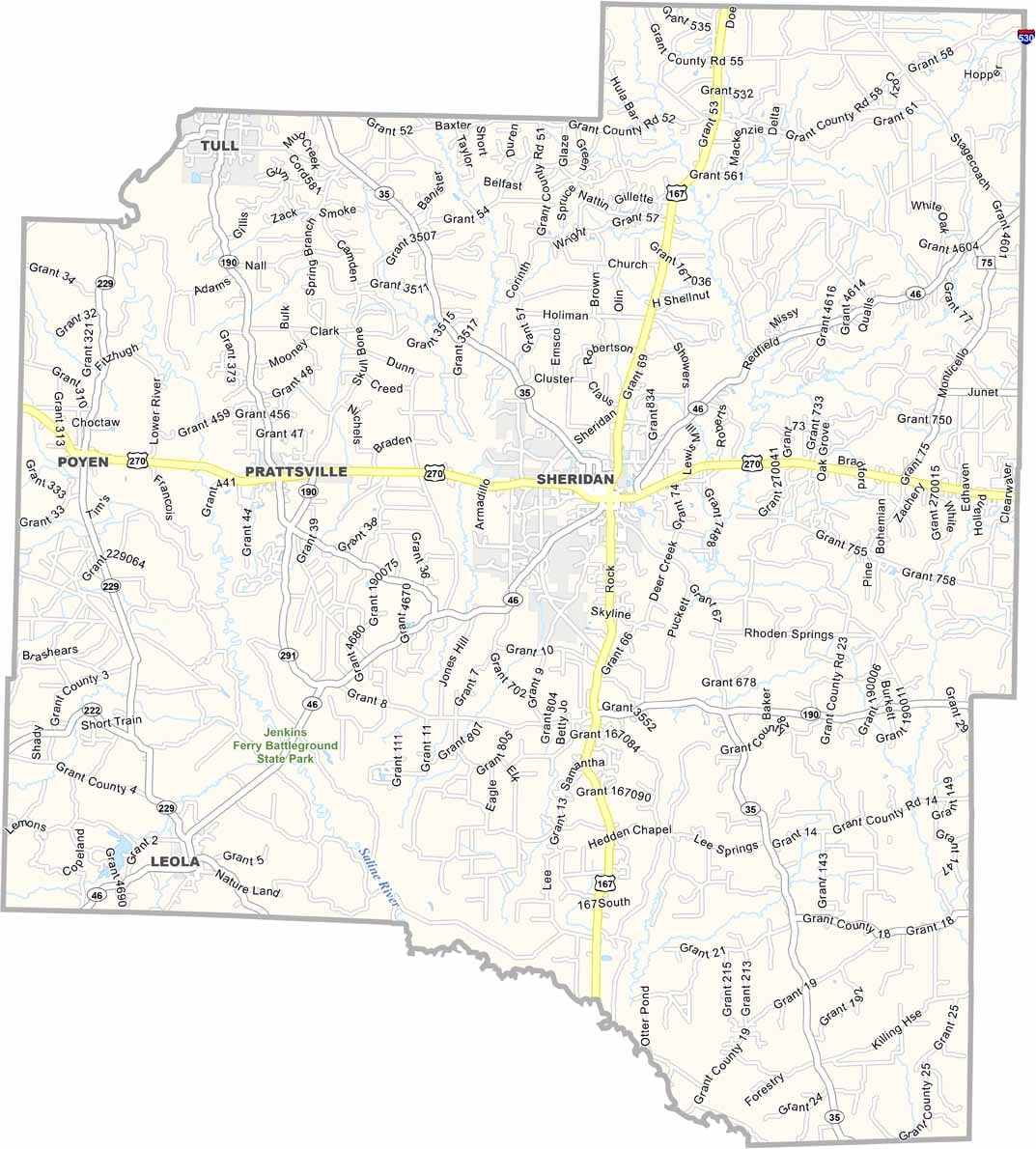
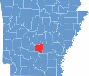
Grant County is located in central Arkansas, just south of Little Rock. Sheridan serves as the county seat and is a small-town community. The county is heavily forested, with timber playing a major role in the local economy.

For outdoor recreation, residents and visitors can enjoy fishing and boating along the Saline River. Jenkins’ Ferry Battleground State Park is another notable attraction, commemorating an important Civil War battle.

Although Grant County is close to the state capital, it maintains a strong rural character. The county offers a mix of history, outdoor recreation, and small-town life in central Arkansas.
CategoryDetails
County NameGrant County
County SeatSheridan
PopulationApproximately 19,000
Cities, Towns, and CommunitiesSheridan, Prattsville, Poyen, Tull
Interstates and HighwaysU.S. Route 167, U.S. Route 270, State Route 35, State Route 46, State Route 190
FIPS Code05-053
Total Area (Land and Water)633 square miles (Land: 632 sq mi, Water: 1 sq mi)
Adjacent Counties (and Direction) Saline County (North), Pulaski County (Northeast), Jefferson County (East), Cleveland County (Southeast), Dallas County (South), Hot Spring County (West)
Time ZoneCentral Standard Time (CST)
StateArkansas
Coordinates34.3056° N, 92.4209° W
EtymologyNamed after Ulysses S. Grant, the 18th President of the United States
Major LandmarksJenkins Ferry Battleground State Park, Grant County Museum, DeGray Lake (nearby), Saline River
Scroll to Top