
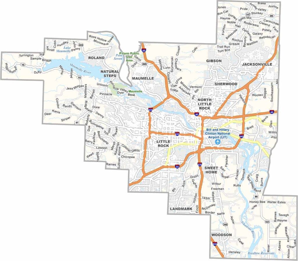
Pulaski County is the most populous county in Arkansas, largely because it is home to Little Rock, the state capital. The county serves as a major center for government, business, and culture.
There are several popular attractions to explore in the area. Little Rock Central High School is an important landmark in the civil rights movement. The Clinton Presidential Center offers insights into recent American history, while the River Market District is a popular destination for dining and entertainment.
Despite its urban center, Pulaski County also has plenty of natural beauty, with the Arkansas River flowing through the region. Pinnacle Mountain State Park provides opportunities for outdoor recreation just minutes from downtown.
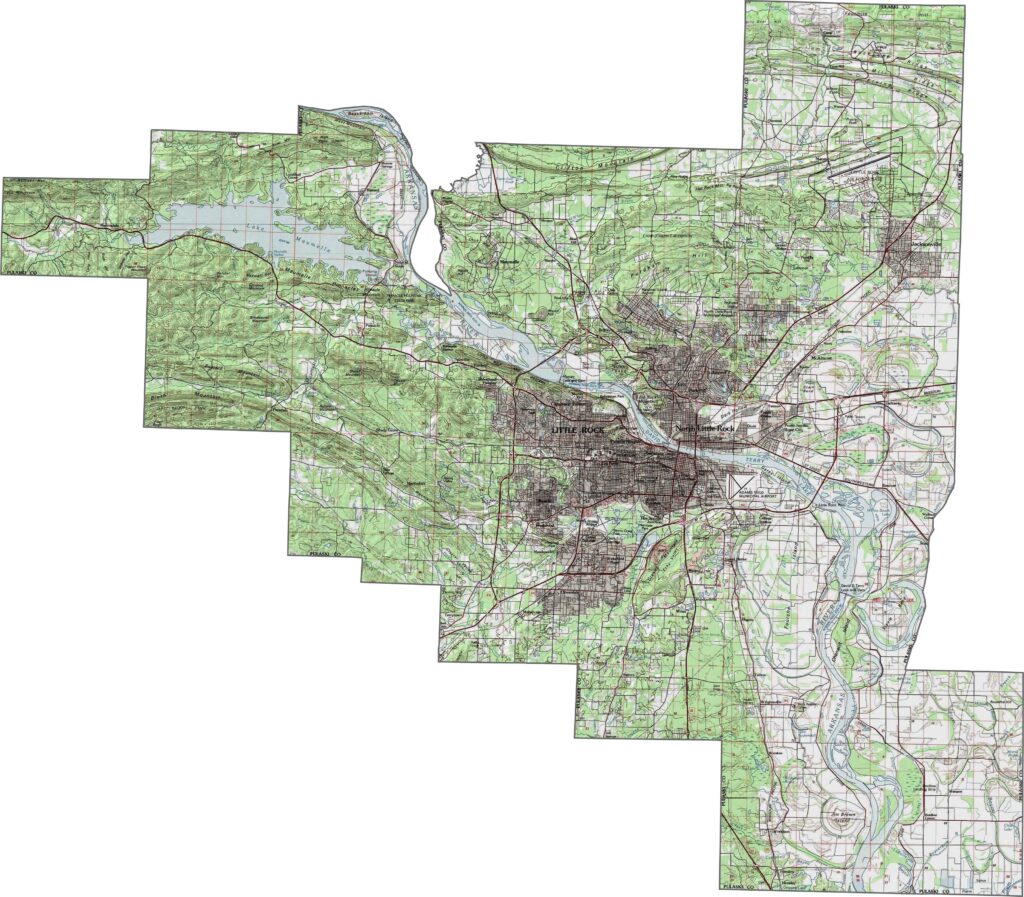
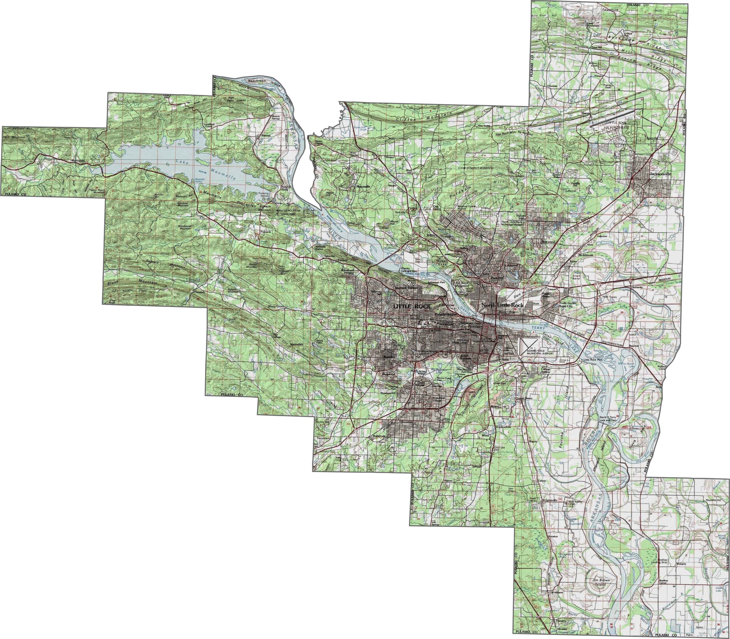
This topographic map of Pulaski County shows the hills and valleys, with the Arkansas River cutting through the middle. Our new zoom tool lets you explore elevation changes and terrain throughout the county.
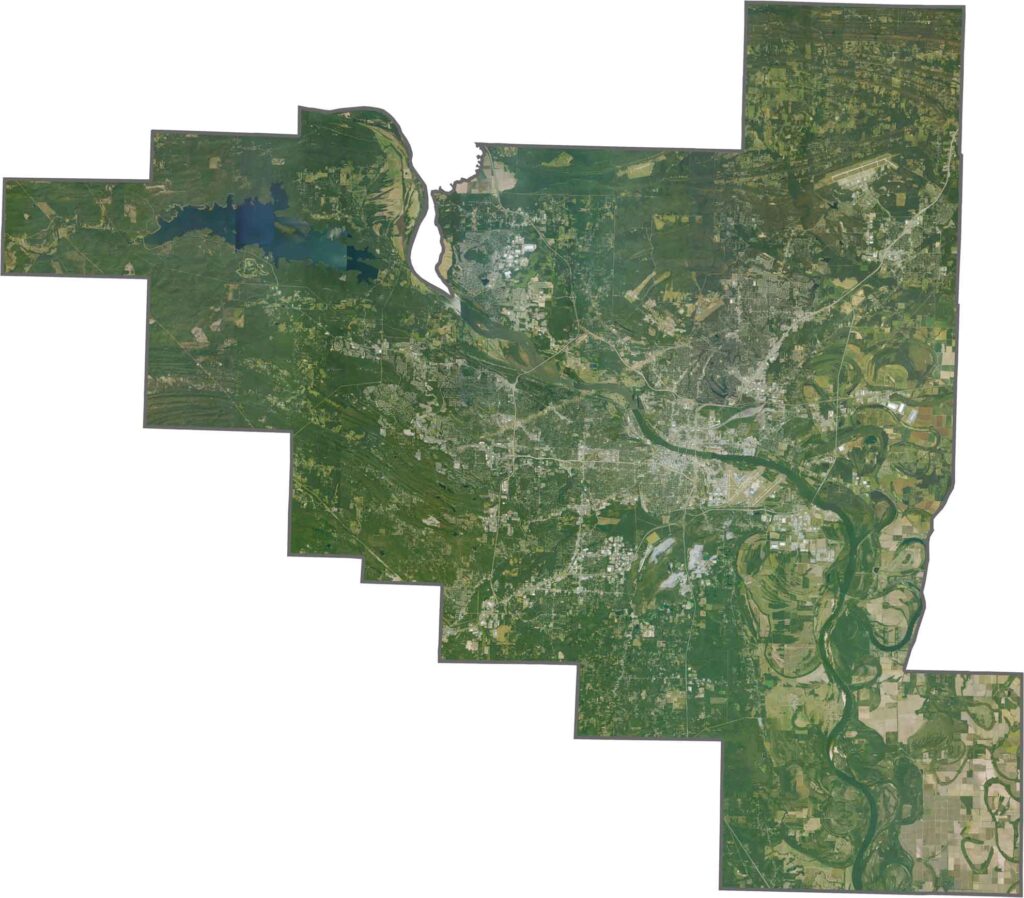
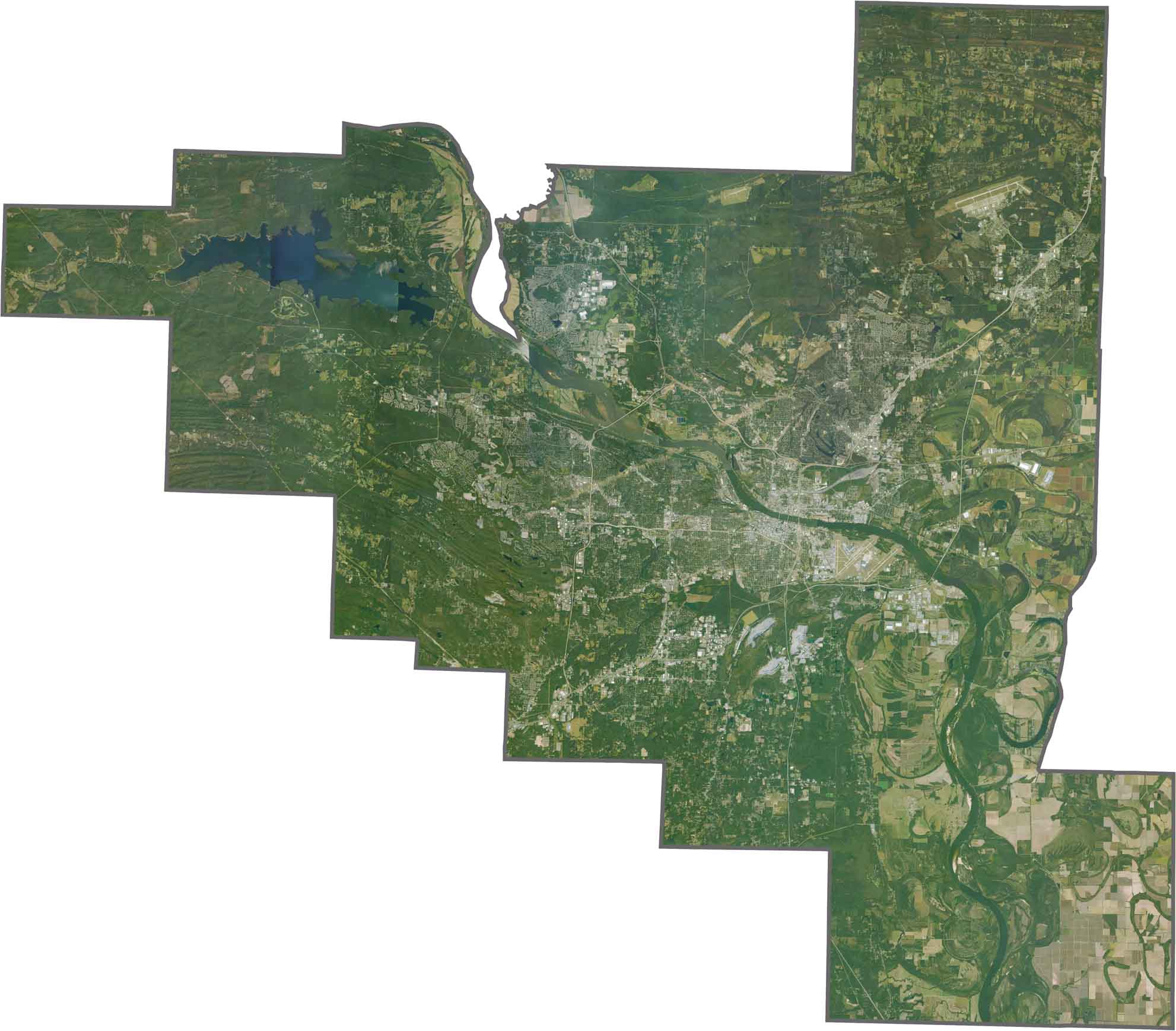
This satellite map of Pulaski County, Arkansas shows Little Rock at its center, with the Arkansas River flowing through the area. The eastern parts of the county feature a mix of farmland and forests.
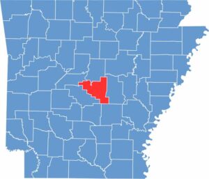
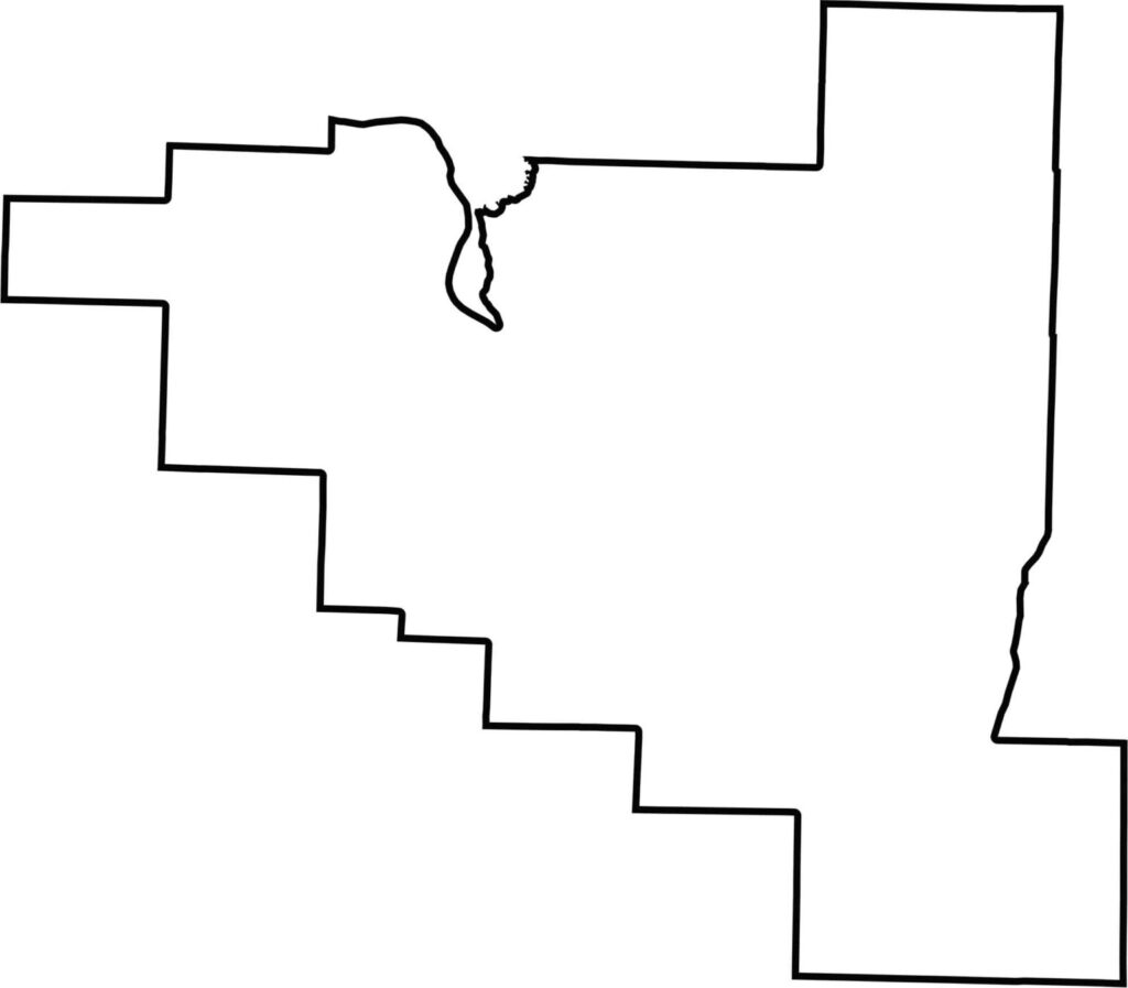
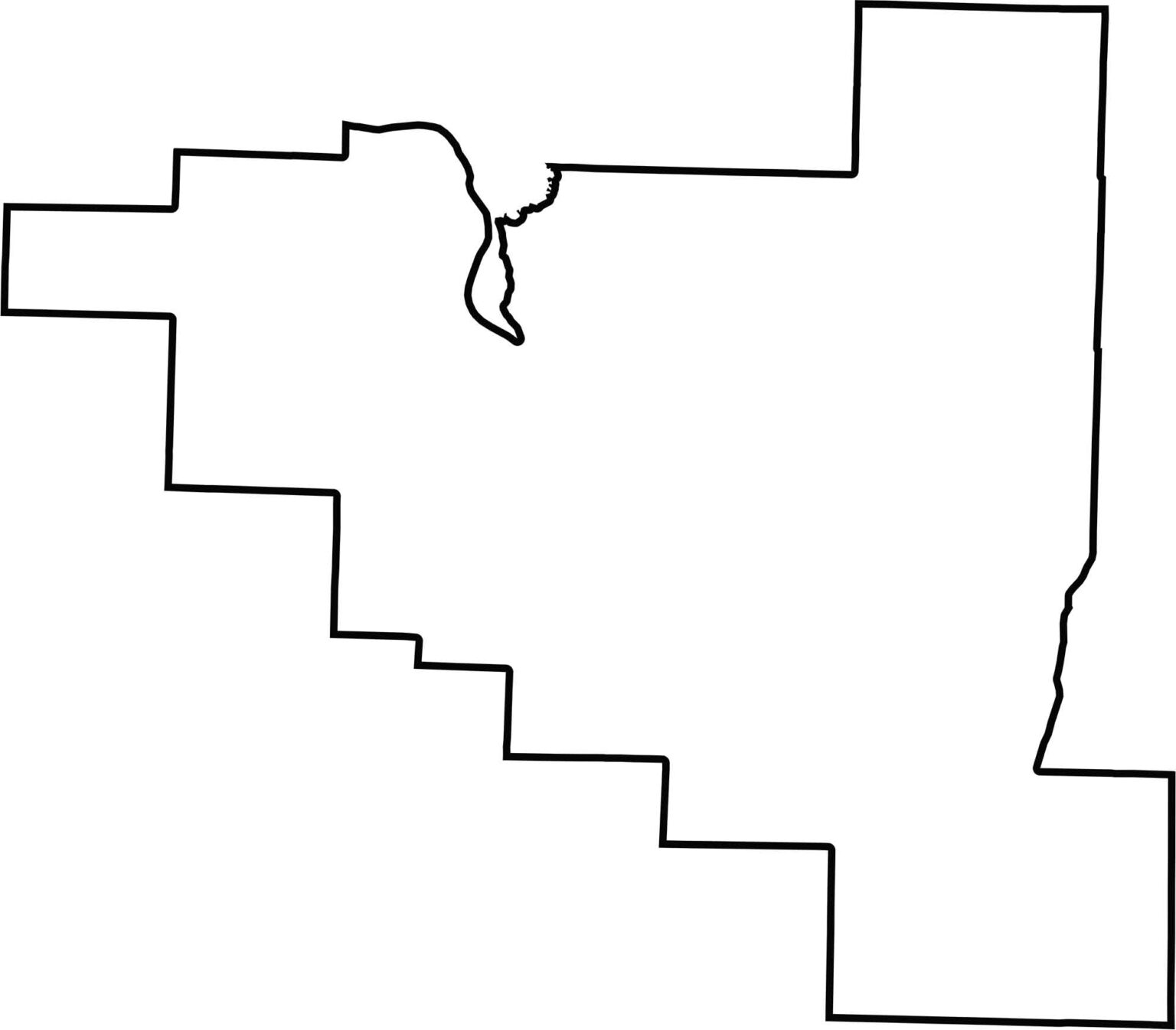
This blank map of Pulaski County outlines its borders and location in central Arkansas. The county boundary provides a simple template for identifying cities, towns, landmarks, and other key features.
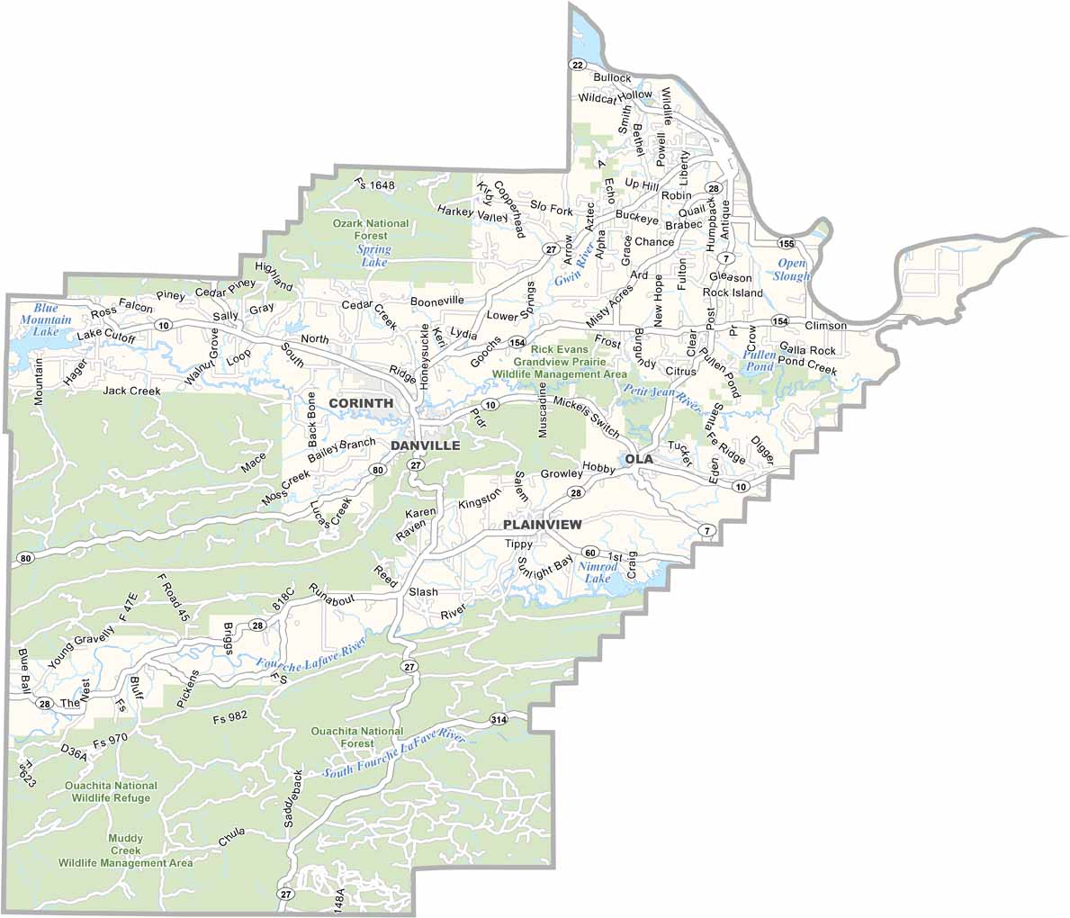
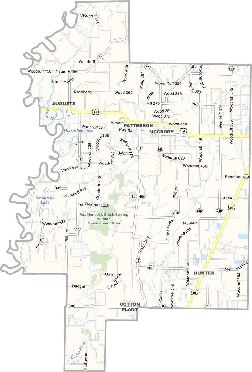
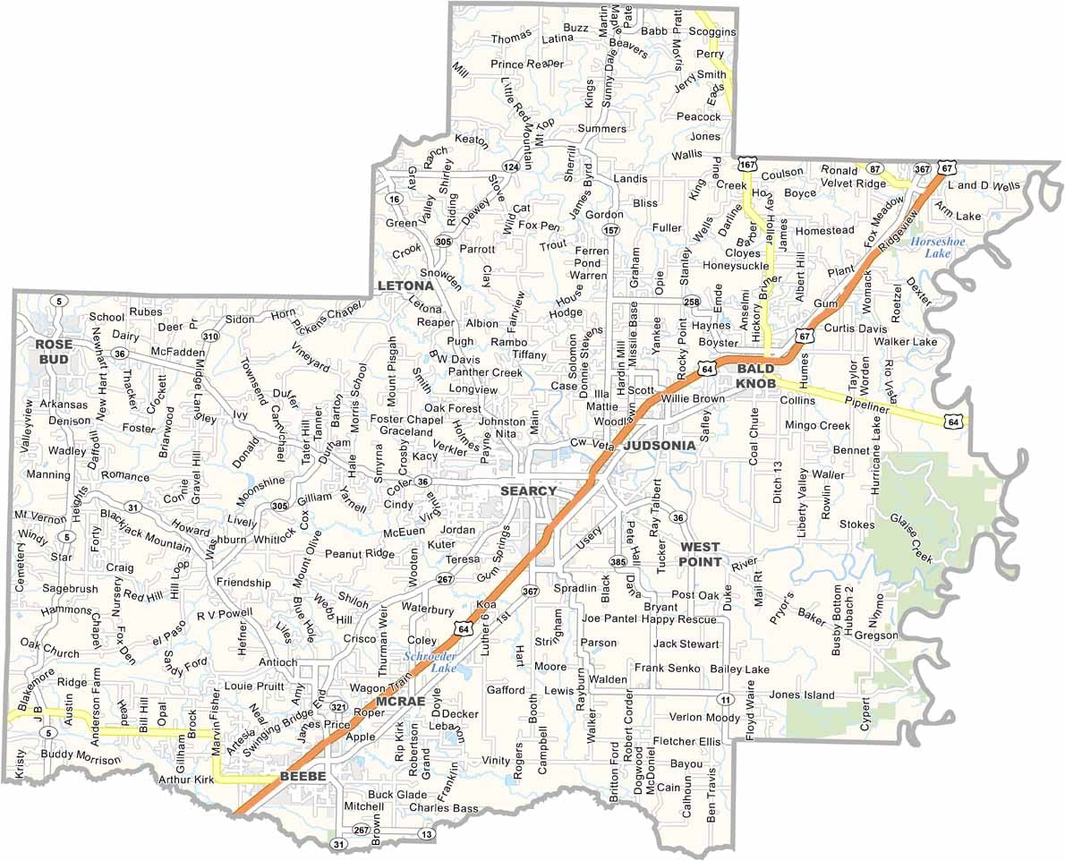



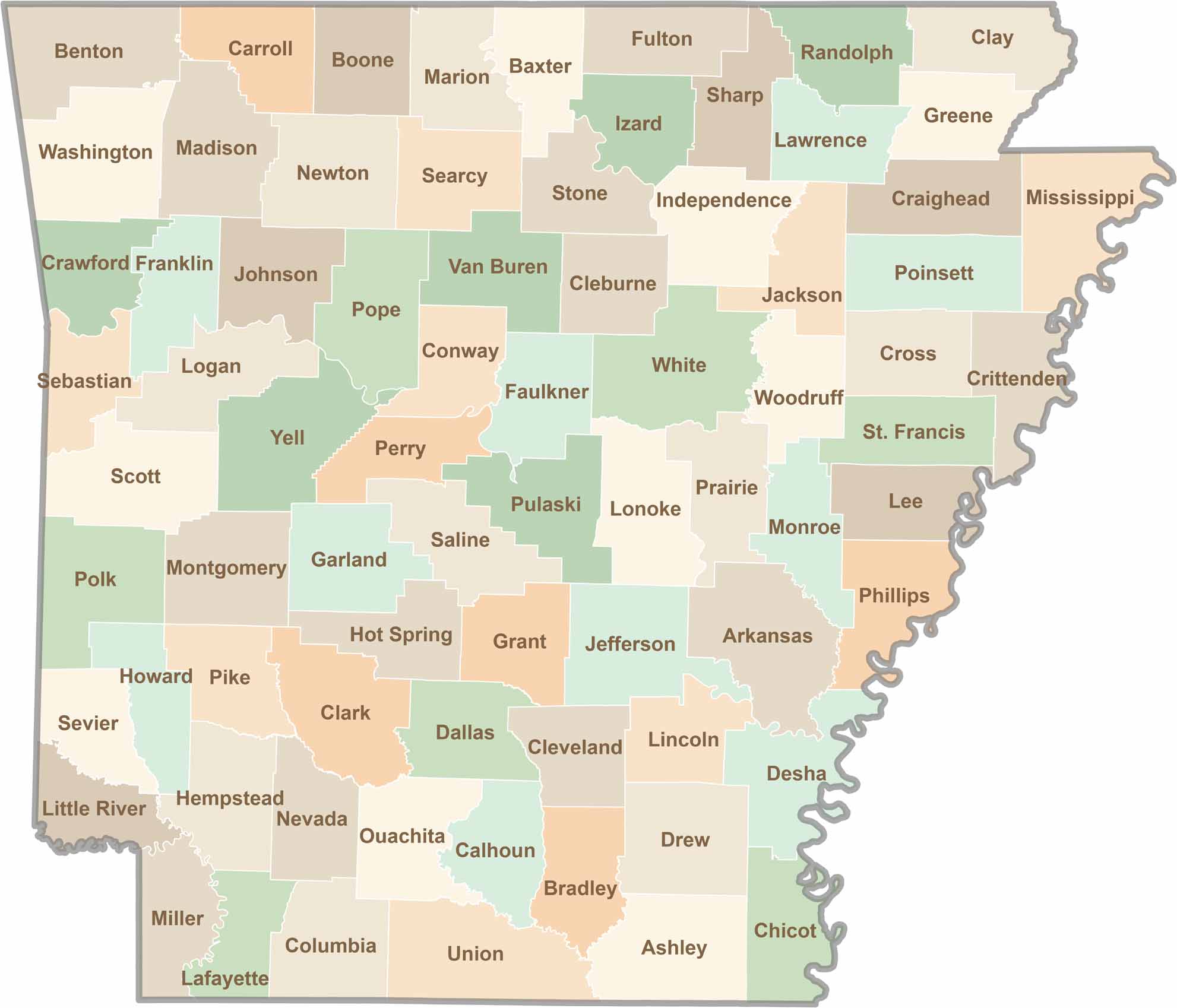
Discover all 75 Arkansas counties with our detailed and easy-to-read map. Explore the Natural State’s cities, scenic byways, and notable attractions with ease. This Arkansas county map is perfect for travelers, students, researchers, and anyone interested in learning more about the state.