
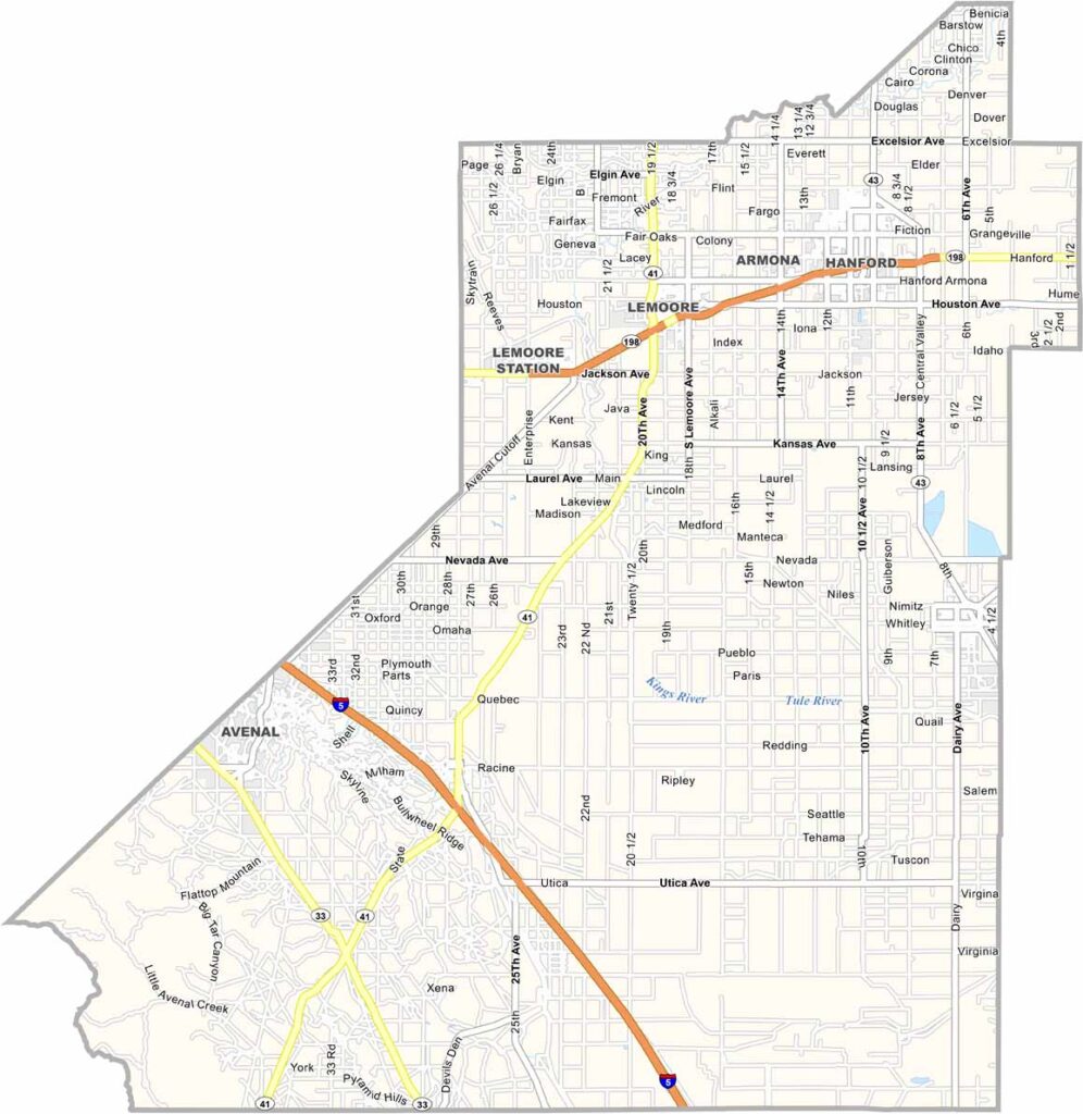
Kings County is located in the heart of California’s Central Valley, where flat farmland stretches across much of the landscape. Agriculture is central to the local economy, with dairy farms and cotton fields covering large portions of the county.
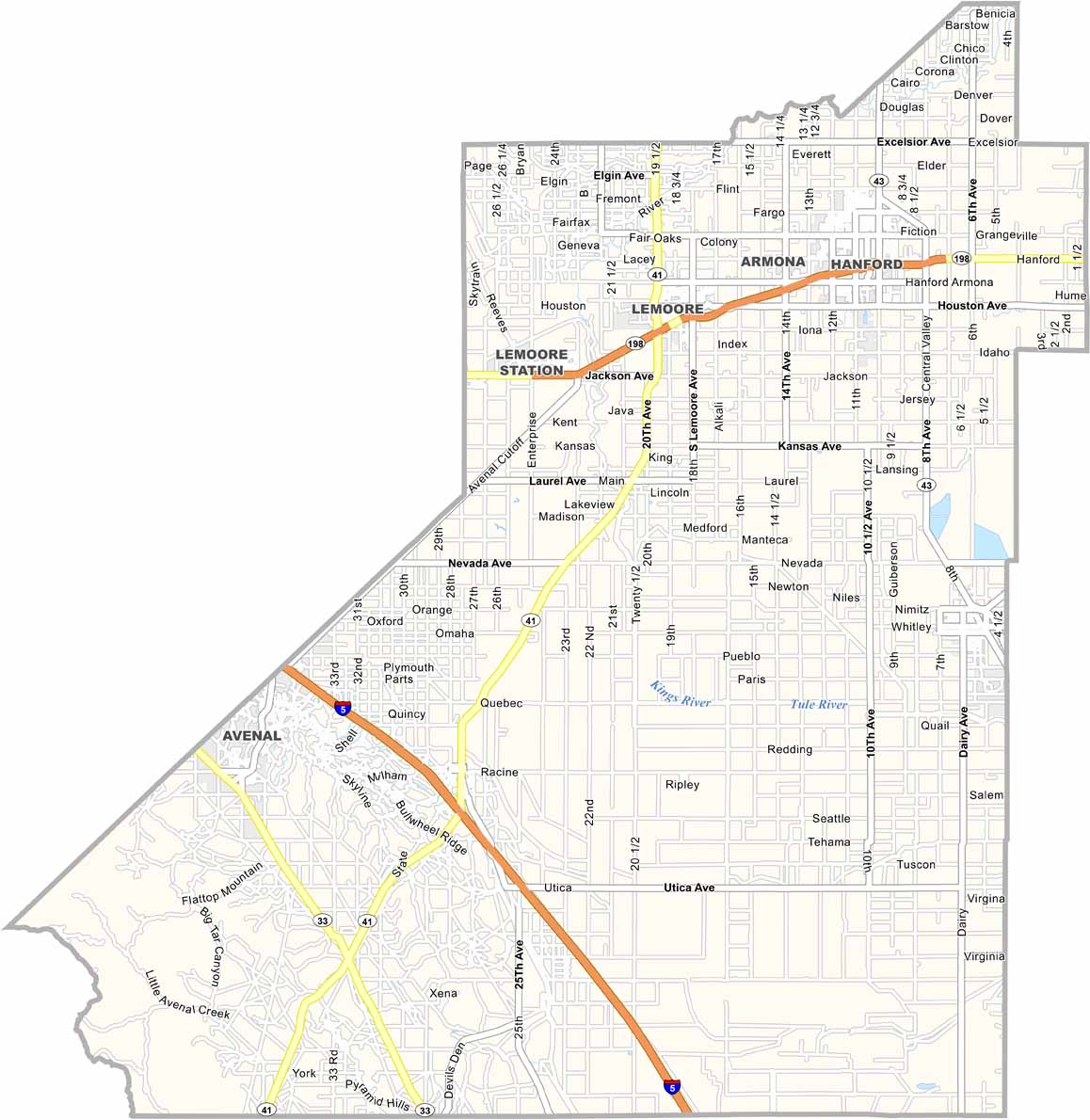
Hanford serves as the county seat and largest community. The city is home to a historic Carnegie Library, while Naval Air Station Lemoore operates nearby as an important training and military facility.
Interstate 5 runs along the western edge of Kings County, while Highway 198 crosses through the center, connecting Hanford with surrounding communities. With its small towns, expansive farmland, and agricultural character, Kings County offers a classic view of life in California’s Central Valley.
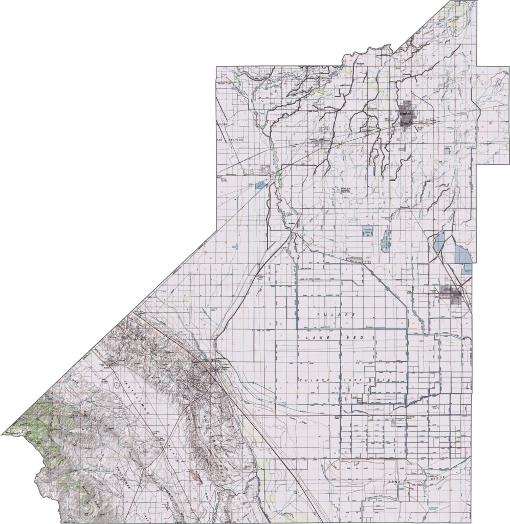
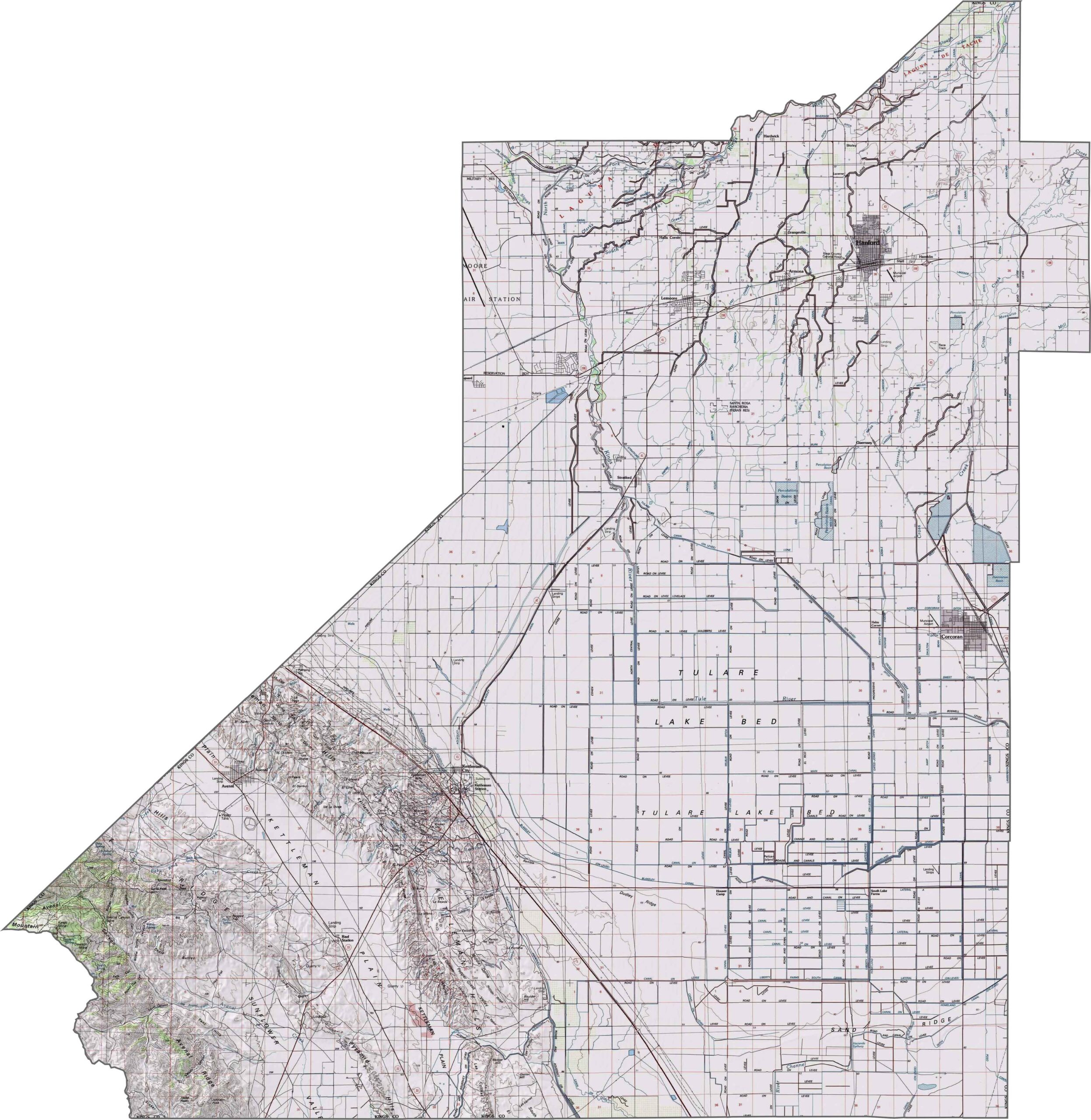
This topographic map highlights Kings County’s predominantly flat terrain in California’s southern San Joaquin Valley. The detailed contours reveal the subtle elevation changes across the county’s broad agricultural landscape.
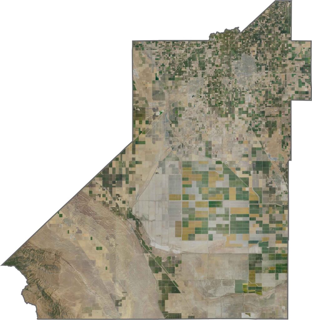
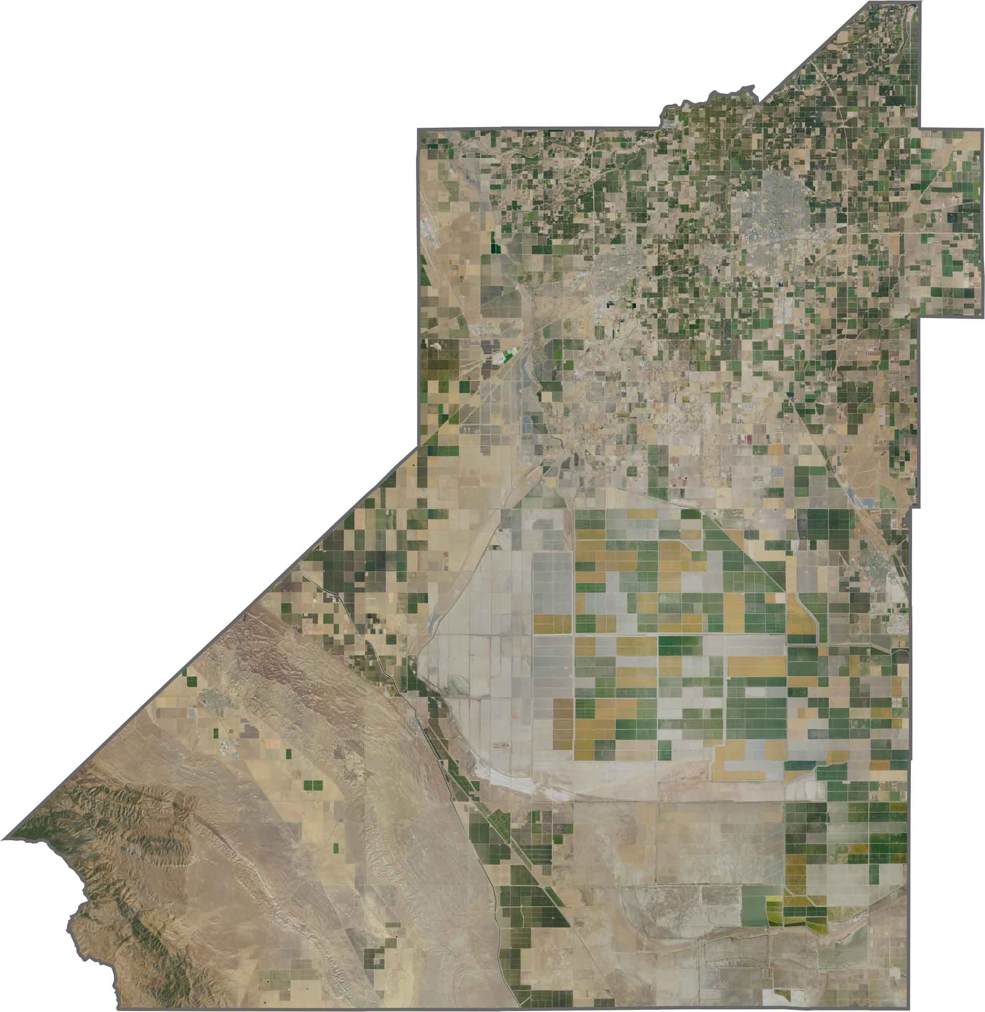
This satellite map shows a highly geometric agricultural grid covering much of the valley floor. The former Tulare Lake basin now appears largely as intensively cultivated farmland, creating a distinctive pattern across the landscape.
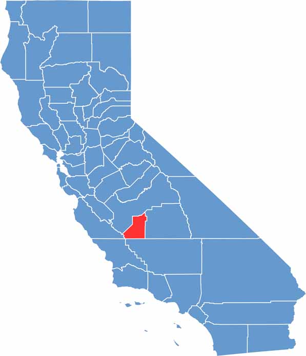
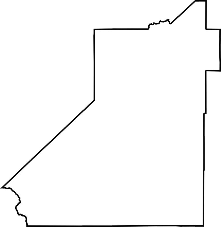
This blank map outlines Kings County’s compact shape in the southern San Joaquin Valley. The simple design emphasizes the county’s location within California’s Central Valley and its strong agricultural character.








Ever wonder how California’s 58 counties are organized? Our California county map lays them all out, from the Pacific Coast to the vast desert regions. Explore the map to find the counties you know—and perhaps discover a few you don’t.