
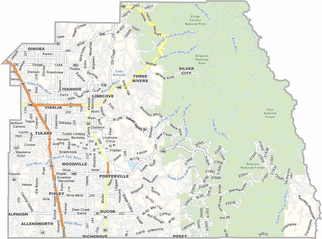
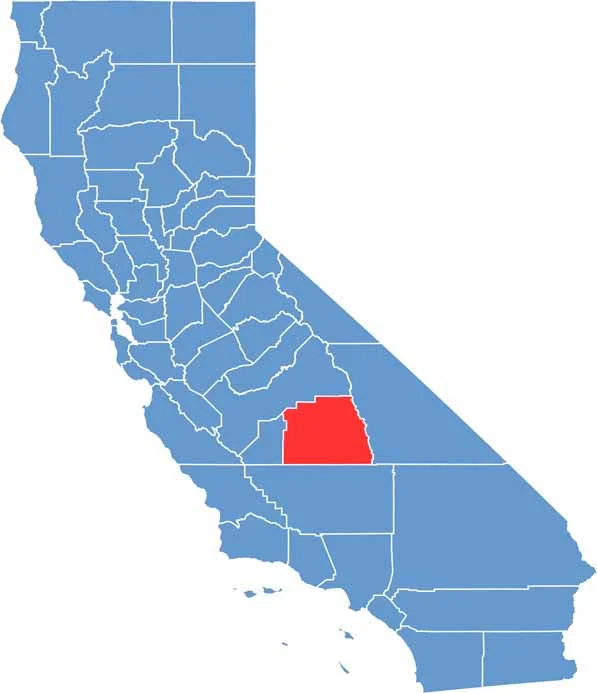
Tulare County is located in California’s San Joaquin Valley, east of Fresno. Visalia is the county seat and largest city. Agriculture plays a major role in the local economy, with numerous dairy farms, citrus groves, and other agricultural operations.
The eastern part of the county includes portions of Sequoia and Kings Canyon National Parks, which are famous for their towering giant sequoia trees. Porterville and Tulare are among the county’s other larger communities.
Highway 99 runs through the county and connects many of its agricultural communities. Farming remains central to the region, especially dairy production, citrus growing, and nut crops. The giant sequoias, including the famous General Sherman Tree, also attract visitors from around the world.
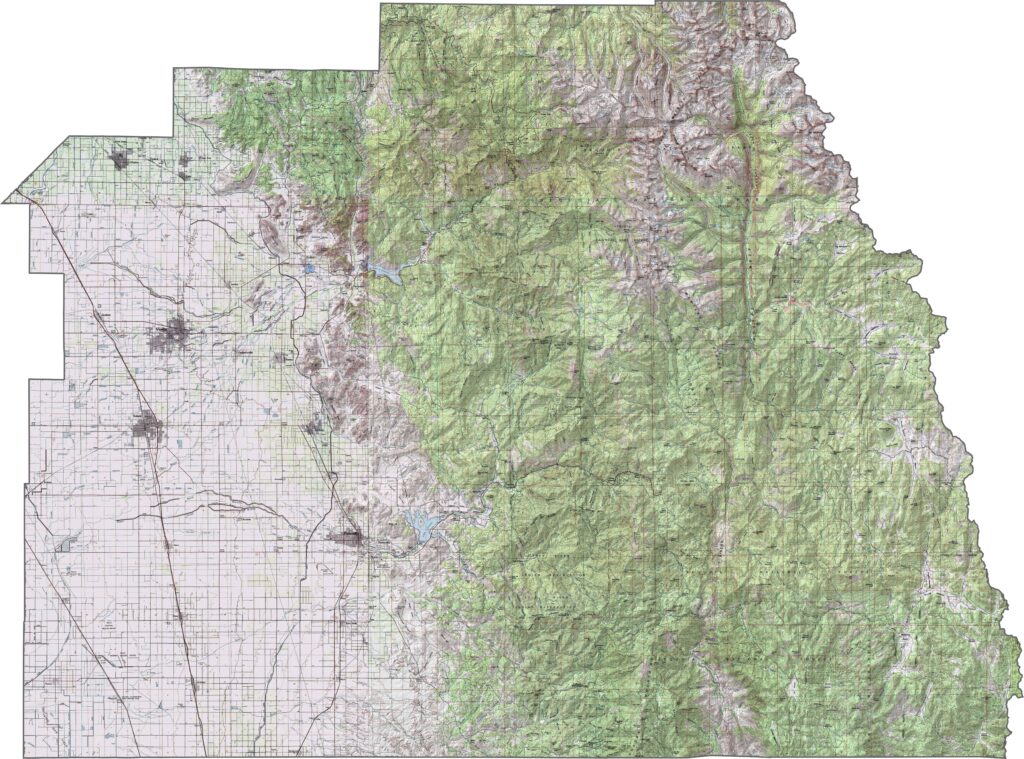
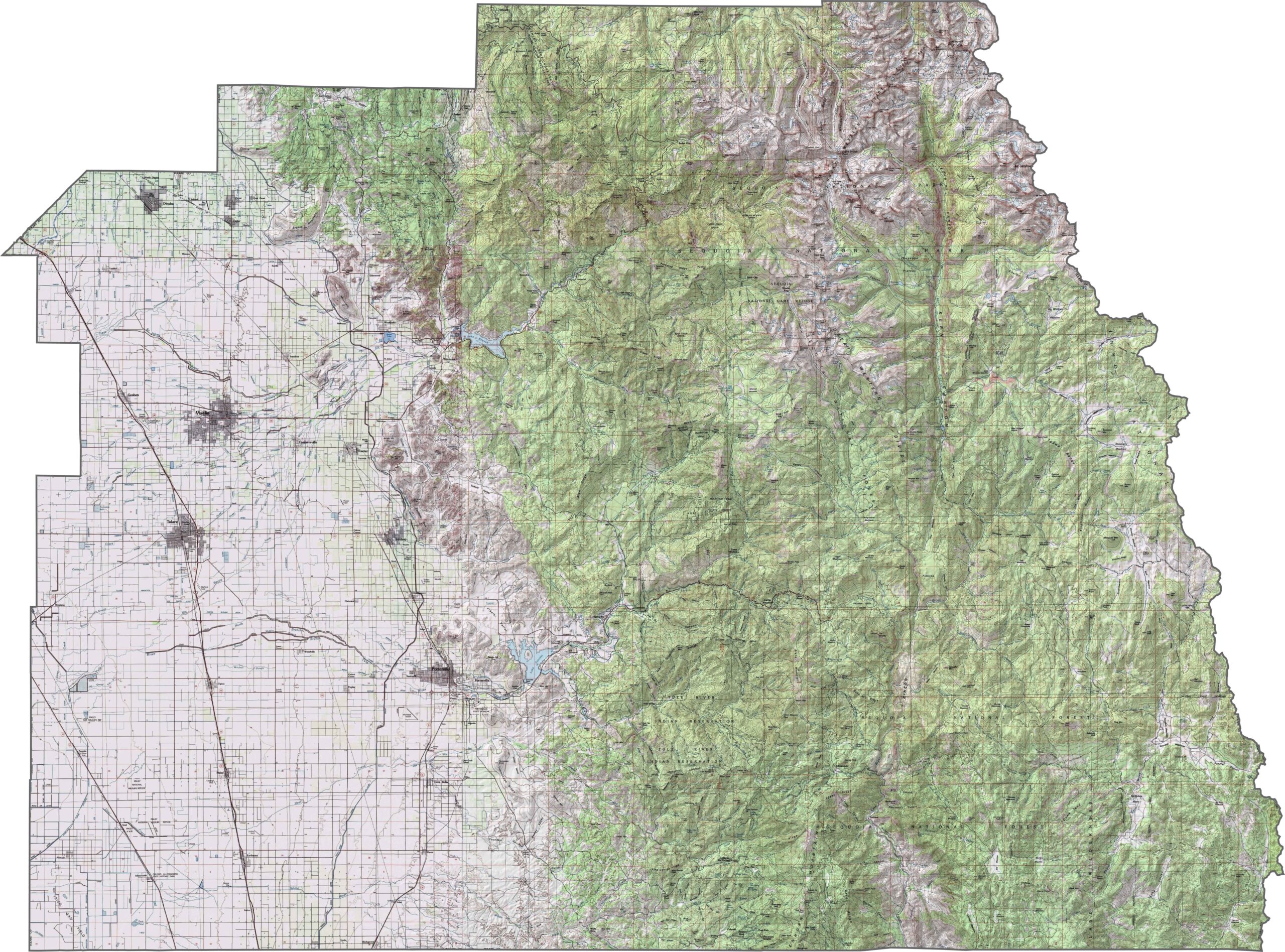
This topographic map highlights Tulare County’s dramatic transition from the flat Central Valley to the high peaks of the southern Sierra Nevada. The elevation changes become especially striking toward the eastern part of the county, where some of California’s highest mountains rise above the surrounding landscape.
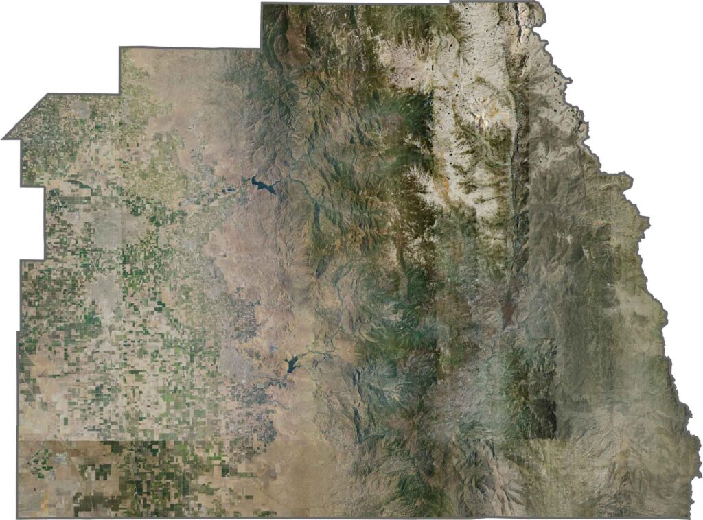
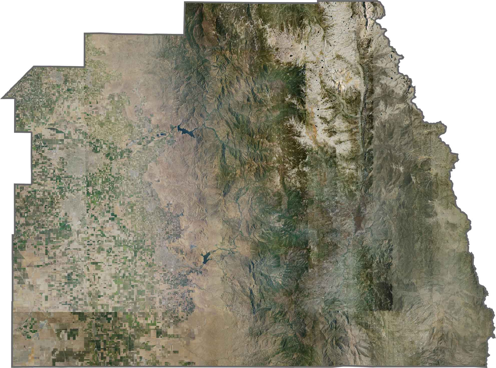
This satellite map reveals the contrast between Tulare County’s agricultural valley floor and the rugged Sierra Nevada wilderness. The forests of Sequoia National Park create a broad dark-green landscape along the eastern side of the county.
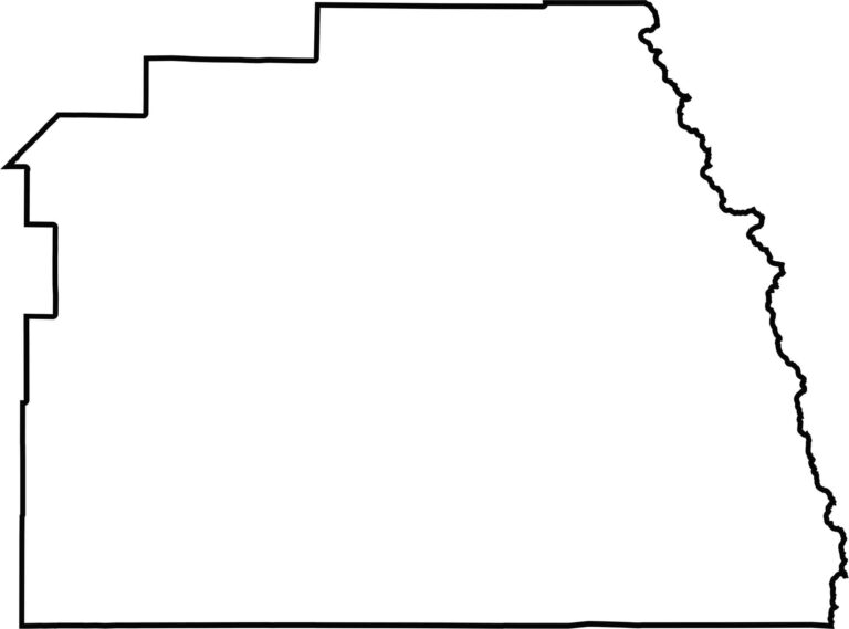
This blank map outlines Tulare County’s elongated shape, stretching from the Central Valley eastward to the Sierra Nevada crest. The eastern portion reaches into the high mountains of the southern Sierra Nevada, including some of the region’s highest peaks.









Ever wonder how California’s 58 counties are organized? Our California county map lays them all out, from the Pacific Coast to the vast desert regions. Explore the map to find the counties you know—and perhaps discover a few you don’t.