
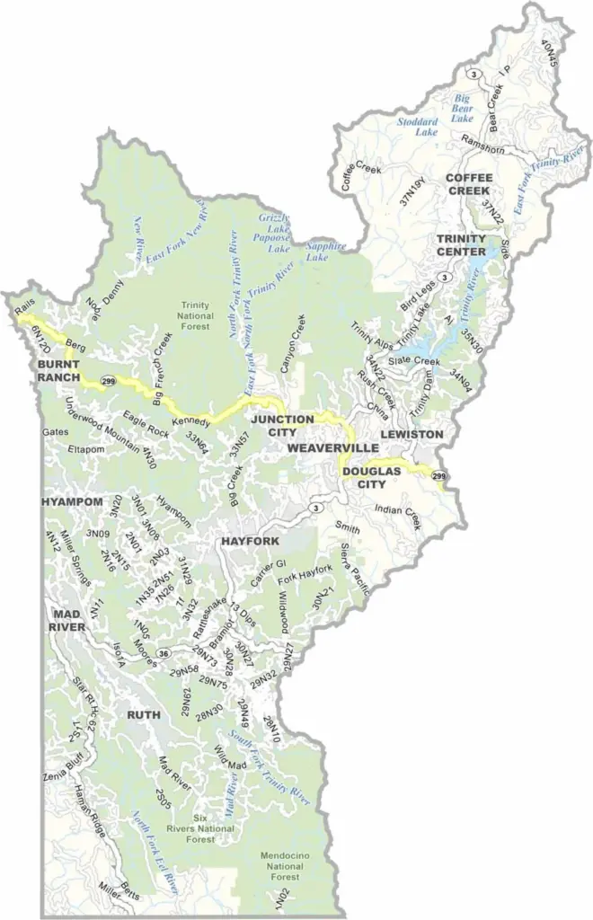
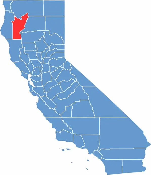
Trinity County is located in the mountains of northwestern California and is known for its extremely rural character. With a population of just over 15,000 people, it is one of the least populated counties in the state.
Weaverville serves as the county seat and is known for its historic downtown and old Chinatown, reflecting the area’s Gold Rush-era history.
The Trinity Alps Wilderness is a major attraction for outdoor enthusiasts, featuring jagged mountain peaks, alpine lakes, and miles of hiking trails. Trinity County is an ideal destination for those who enjoy remote wilderness, pristine natural landscapes, and outdoor adventure.
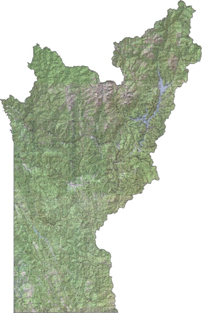
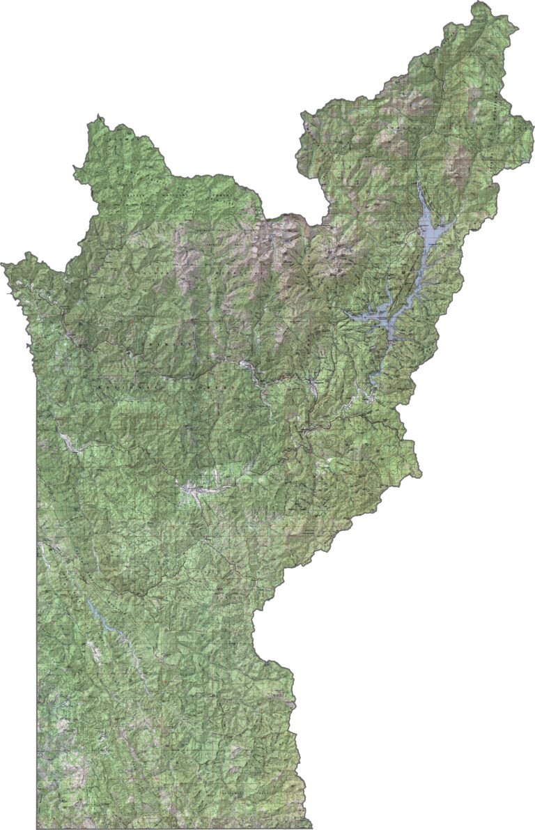
This topographic map highlights Trinity County’s remote mountainous terrain, with rugged peaks, deep river canyons, and dense forests. The contour lines reveal the county’s dramatic elevation changes and varied landscape.
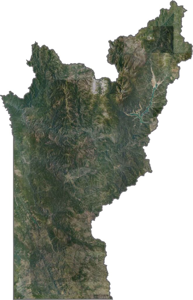
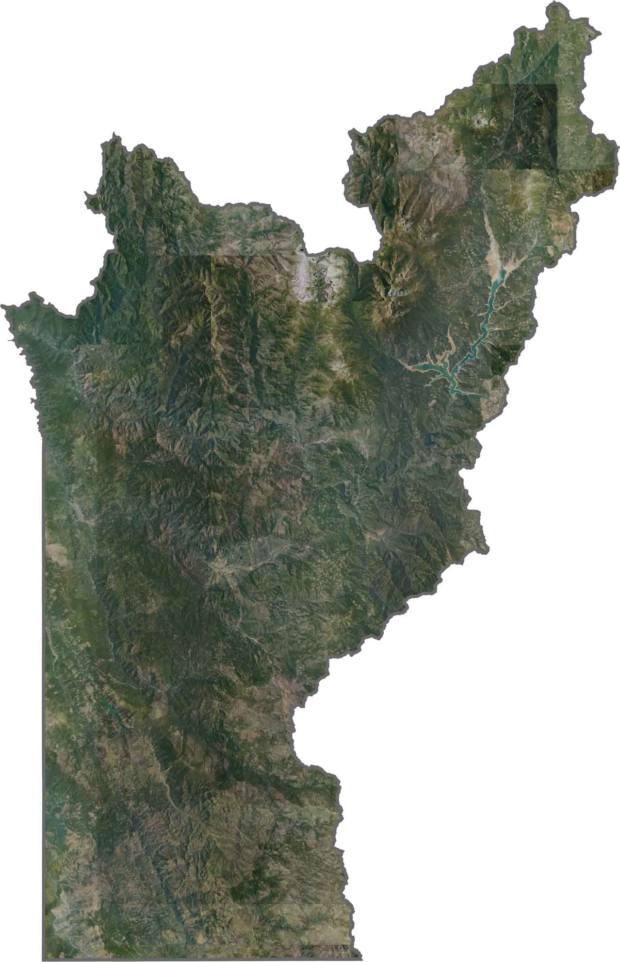
This satellite map shows Trinity County’s heavily forested mountains and deep river canyons. The remote landscape has limited road access, while lakes, rivers, and other waterways stand out against the surrounding forests.
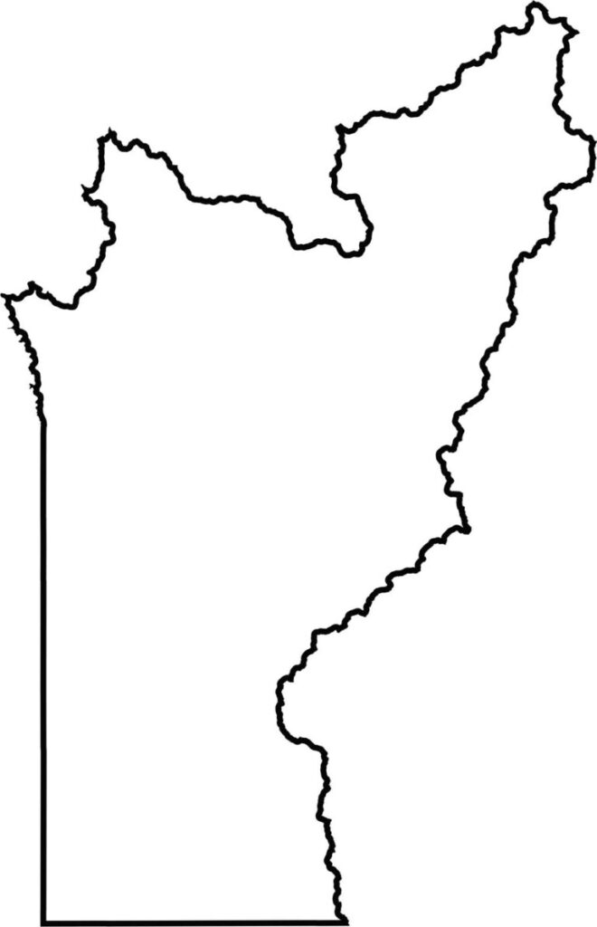
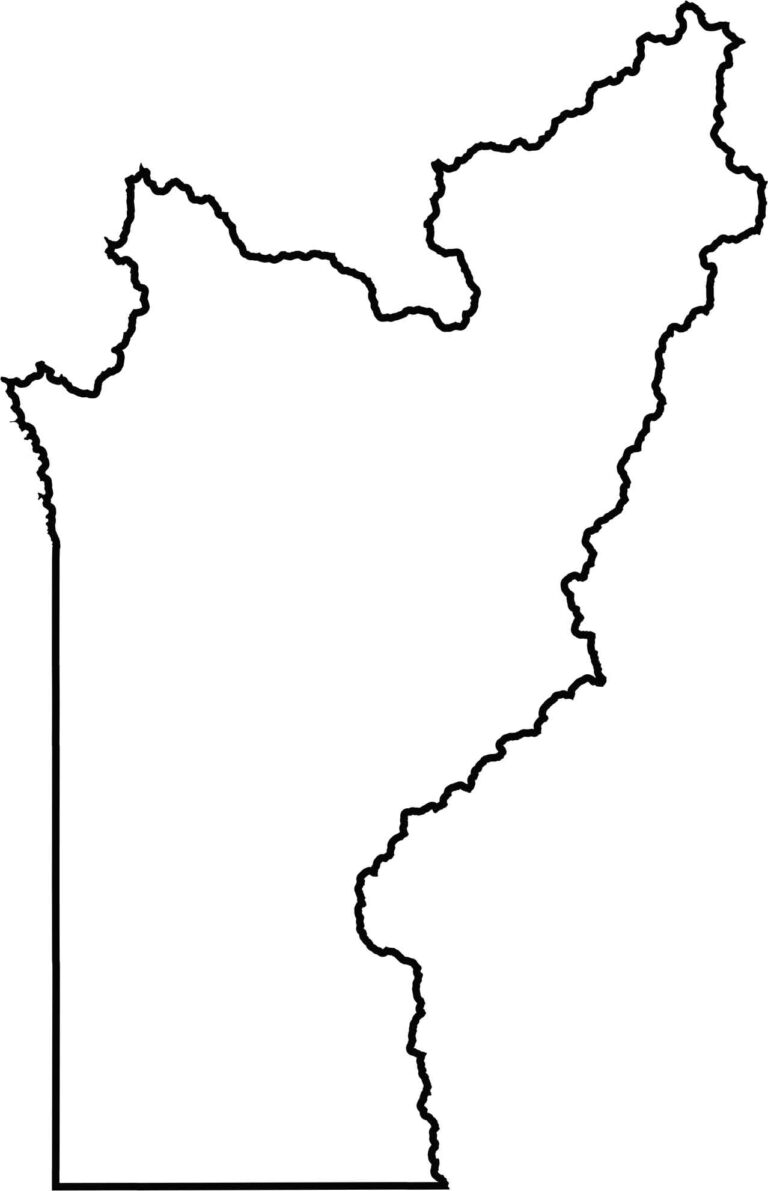
This blank map outlines Trinity County’s irregular shape in the mountains of northwestern California. Its simple design highlights the county’s rugged boundaries and remote setting among the Coast Range wilderness.








Ever wonder how California’s 58 counties are organized? Our California county map lays them all out, from the Pacific Coast to the vast desert regions. Explore the map to find the counties you know—and perhaps discover a few you don’t.