
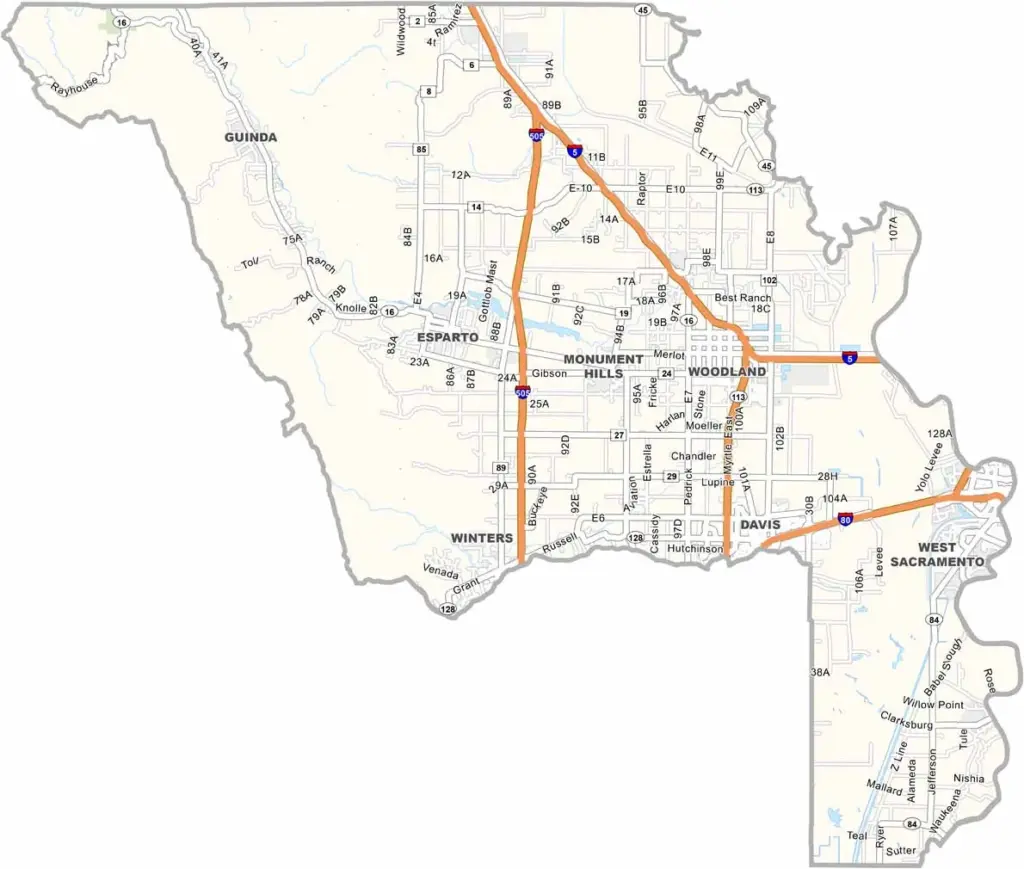
Yolo County is located just west of Sacramento in California’s Central Valley. Davis is the county’s largest city and home to the University of California, Davis. The city is also well known for its strong bicycling culture.
Woodland serves as the county seat and features a charming historic downtown. Agriculture is an important part of the local economy, with crops including tomatoes, rice, and almonds. Cache Creek Casino Resort is located in the rural part of the county.
The Yolo Bypass Wildlife Area is a popular destination for birdwatching and wildlife viewing. Yolo County is generally more affordable than the Bay Area, although summers can be extremely hot.
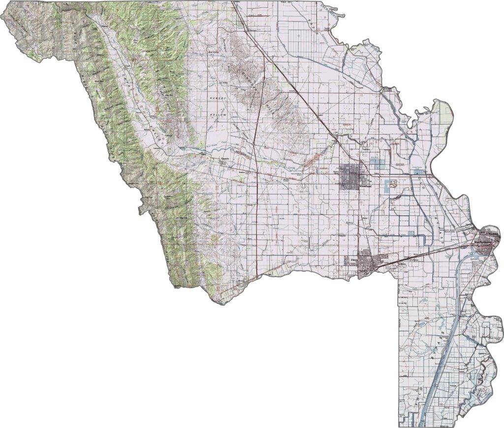
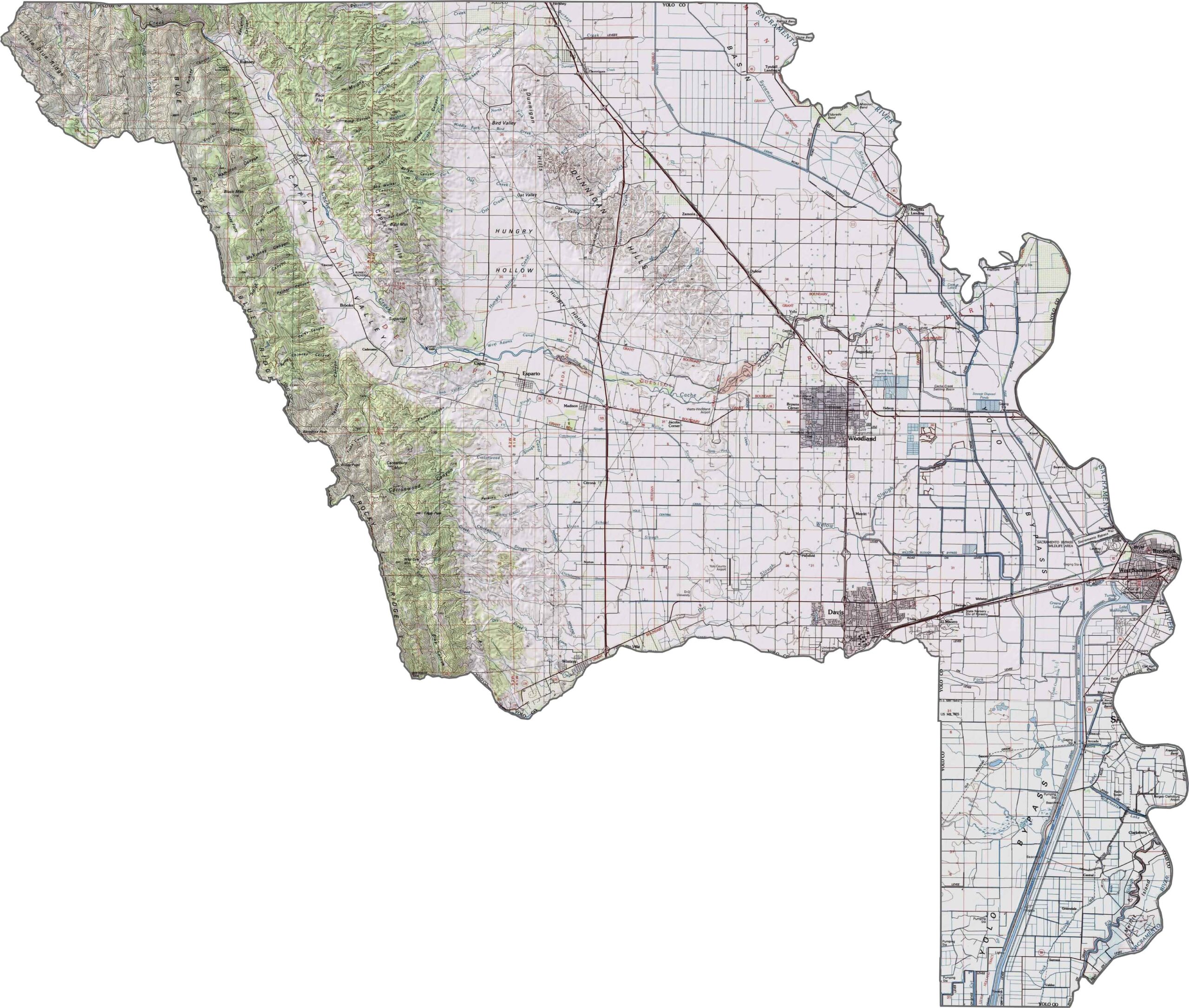
Zoom in on our topographic map of Yolo County to explore its predominantly flat agricultural landscape. The terrain features level farmland, with gradual elevation increases toward the Coast Range foothills in the west.
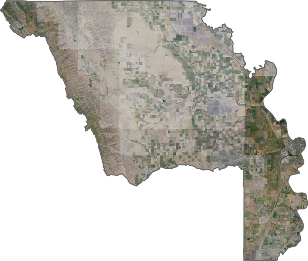
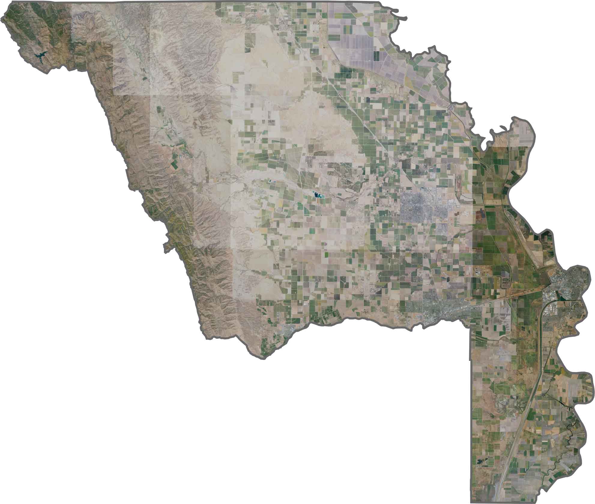
Agricultural development dominates this Sacramento Valley county. Davis and Woodland stand out as major urban centers surrounded by a predominantly rural landscape.
Carroll County (North), Newton County (East), Johnson County (Southeast), Franklin County (South), Crawford County (Southwest), Washington County (West), Benton County (Northwest)










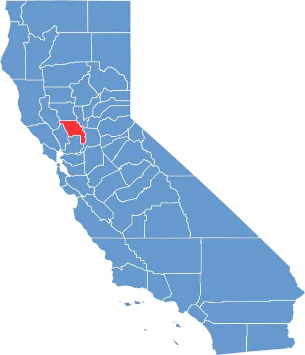
Ever wonder how California’s 58 counties are organized? Our California county map lays them all out, from the Pacific Coast to the vast desert regions. Explore the map to find the counties you know—and perhaps discover a few you don’t.