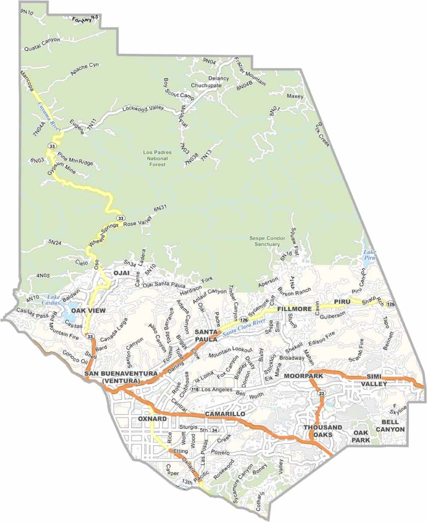
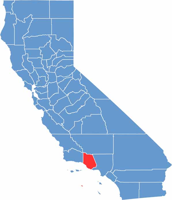
Ventura County is located along the Southern California coast and is known for its beaches and scenic landscapes. The city of Ventura serves as the county seat and has a relaxed coastal atmosphere, while Thousand Oaks is more suburban in character.
Agriculture remains an important part of the local economy, with the county producing large quantities of strawberries and lemons. The Channel Islands lie just off the coast and offer opportunities for kayaking, wildlife viewing, and outdoor exploration.
Highway 101 runs through Ventura County, which has a population of around 835,000 people. Traffic can be heavy, particularly on routes toward Los Angeles. Although the area is expensive, it is often considered more affordable than neighboring Los Angeles or Santa Barbara.
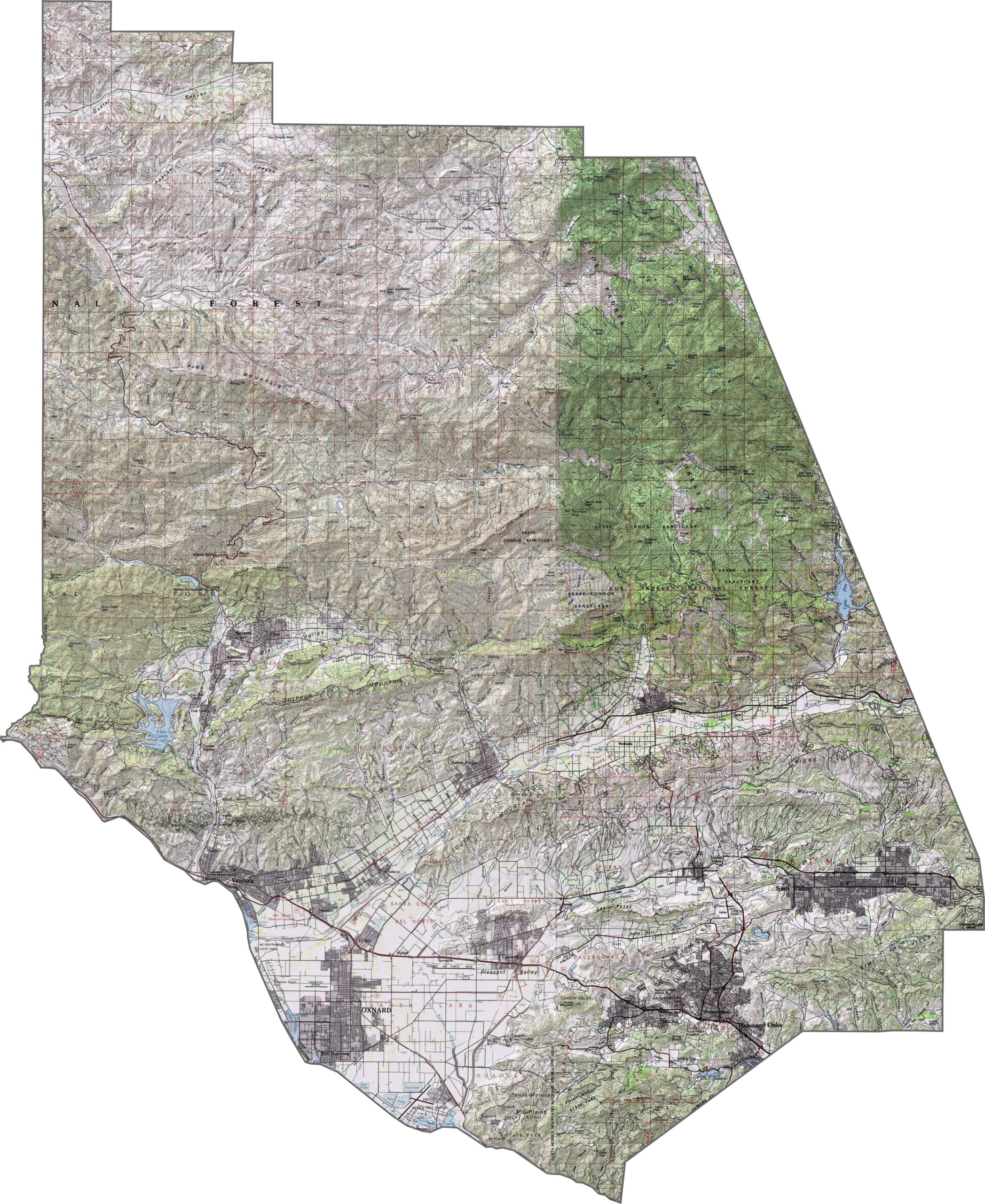
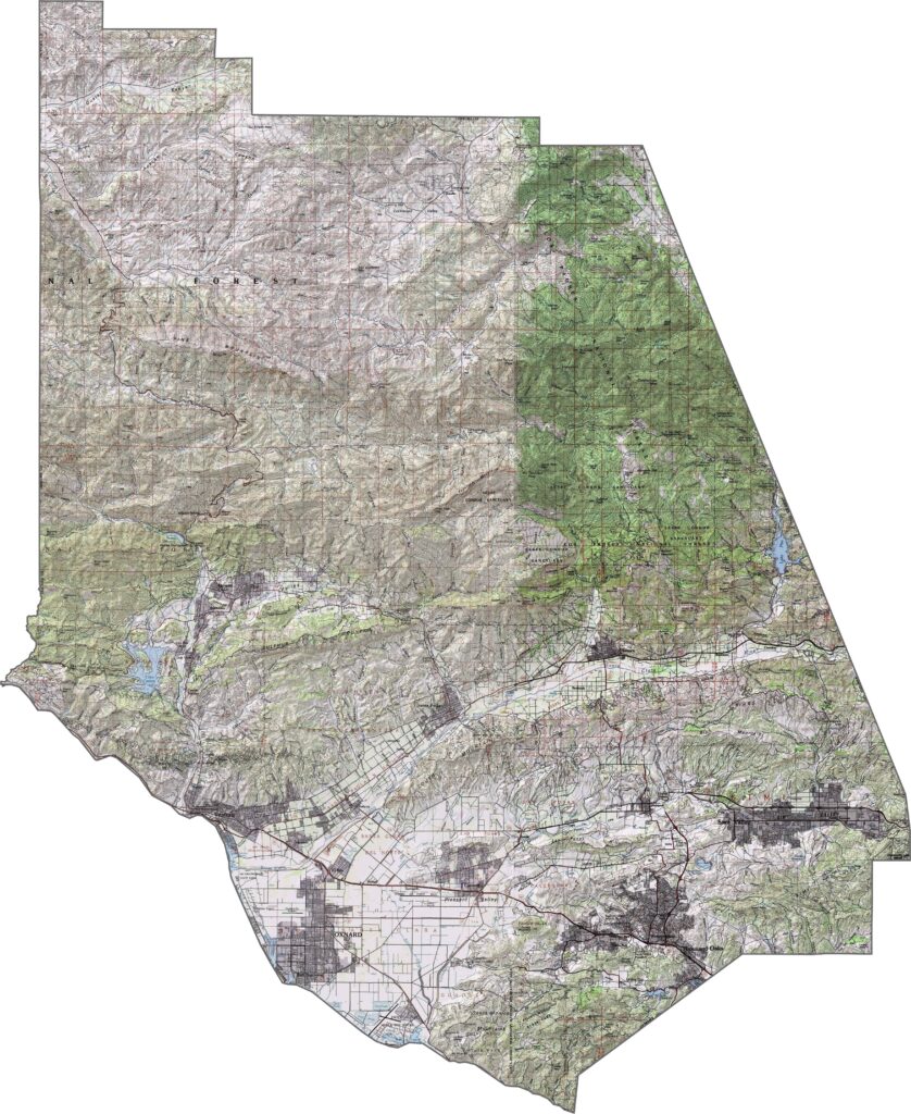
This topographic map highlights Ventura County’s diverse coastal and mountain terrain. The landscape transitions from beaches and coastal plains to the steep Transverse Ranges farther inland.
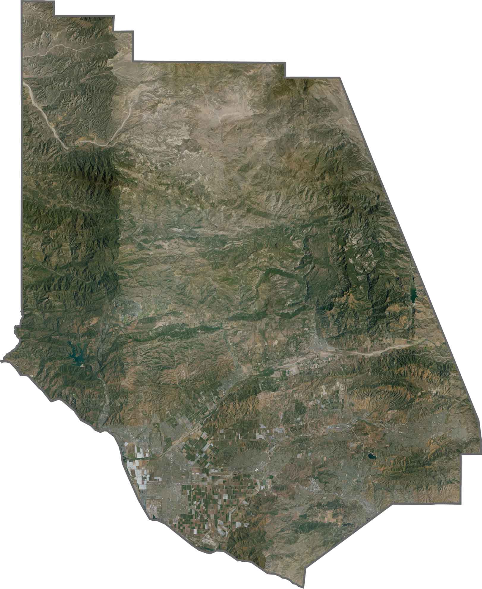
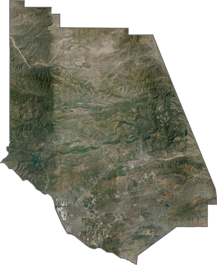
This satellite map reveals the contrast between Ventura County’s coastal plains and rugged mountain ranges. The agricultural fields of the Oxnard Plain create distinctive geometric patterns that are clearly visible from above.
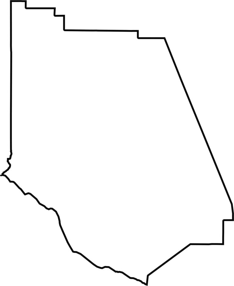
This blank map outlines Ventura County’s irregular shape along the Southern California coast. Its northern boundary follows the Transverse Ranges, while the southern edge borders Los Angeles County.