

Tuolumne County is located in the Sierra Nevada foothills of central California. Sonora is the county seat and is known for its historic Gold Rush-era downtown. The county attracts both retirees and outdoor enthusiasts.
Part of Yosemite National Park lies within Tuolumne County, making it a major attraction for visitors. Columbia State Historic Park offers another glimpse into the region’s Gold Rush past, where visitors can experience historic buildings and even try gold panning.
Dodge Ridge is a popular local destination for skiing and winter recreation. Outdoor opportunities are abundant throughout the county, from exploring Stanislaus National Forest to fishing and relaxing at Pinecrest Lake.
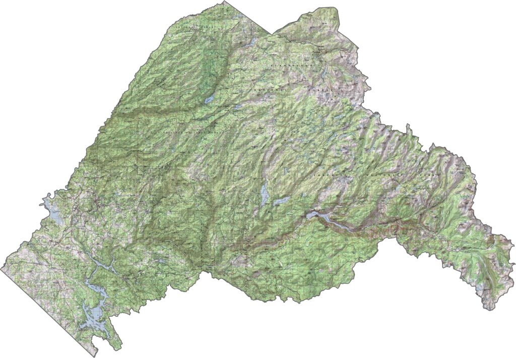
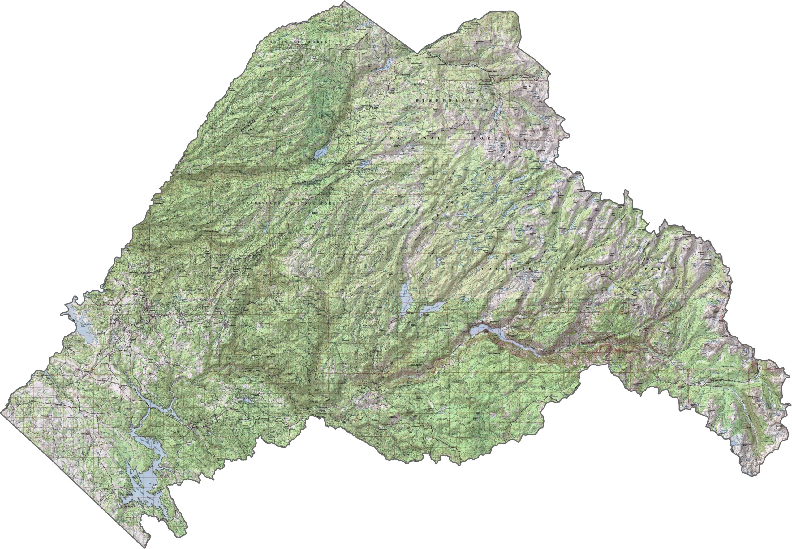
This topographic map highlights Tuolumne County’s Sierra Nevada landscape, with deep river canyons, rugged foothills, and high-country terrain. The elevation changes become more dramatic toward the eastern part of the county, including the mountainous areas of Yosemite National Park.
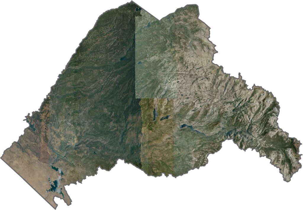
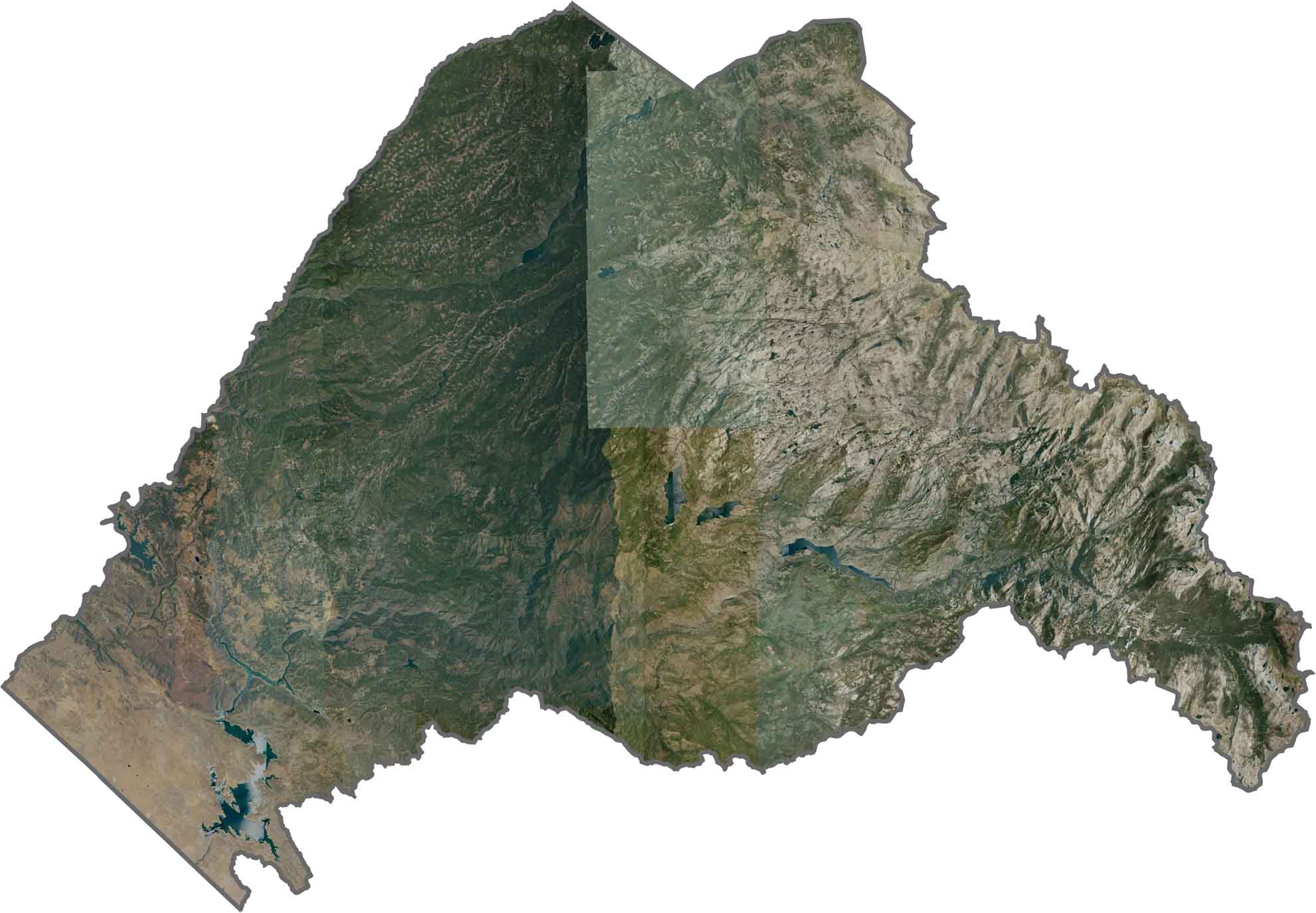
This satellite map reveals the distinctive granite landscapes of Yosemite, surrounded by extensive forests. The terrain rises from the forested western slopes toward the higher elevations of the Sierra Nevada crest in the east.
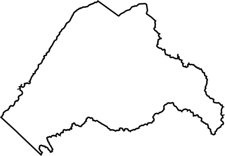
This blank map outlines Tuolumne County’s elongated shape in the central Sierra Nevada. The eastern portion extends into Yosemite National Park and includes rugged high-country and wilderness areas.









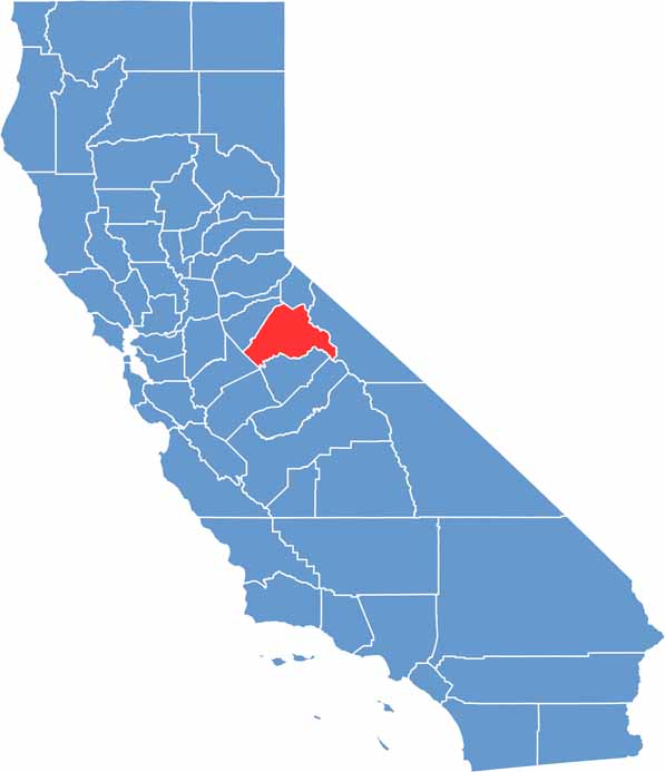
Ever wonder how California’s 58 counties are organized? Our California county map lays them all out, from the Pacific Coast to the vast desert regions. Explore the map to find the counties you know—and perhaps discover a few you don’t.