
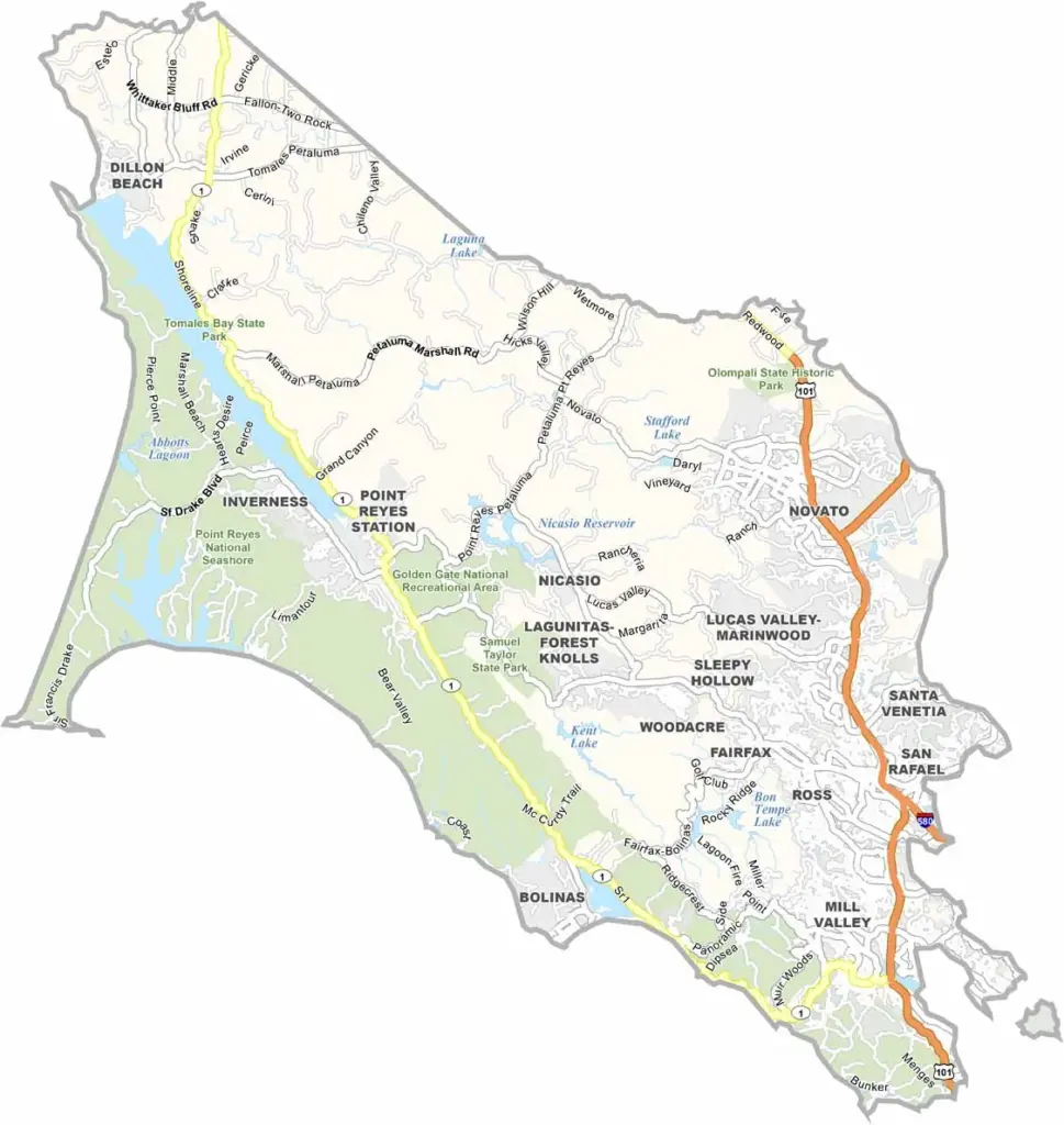
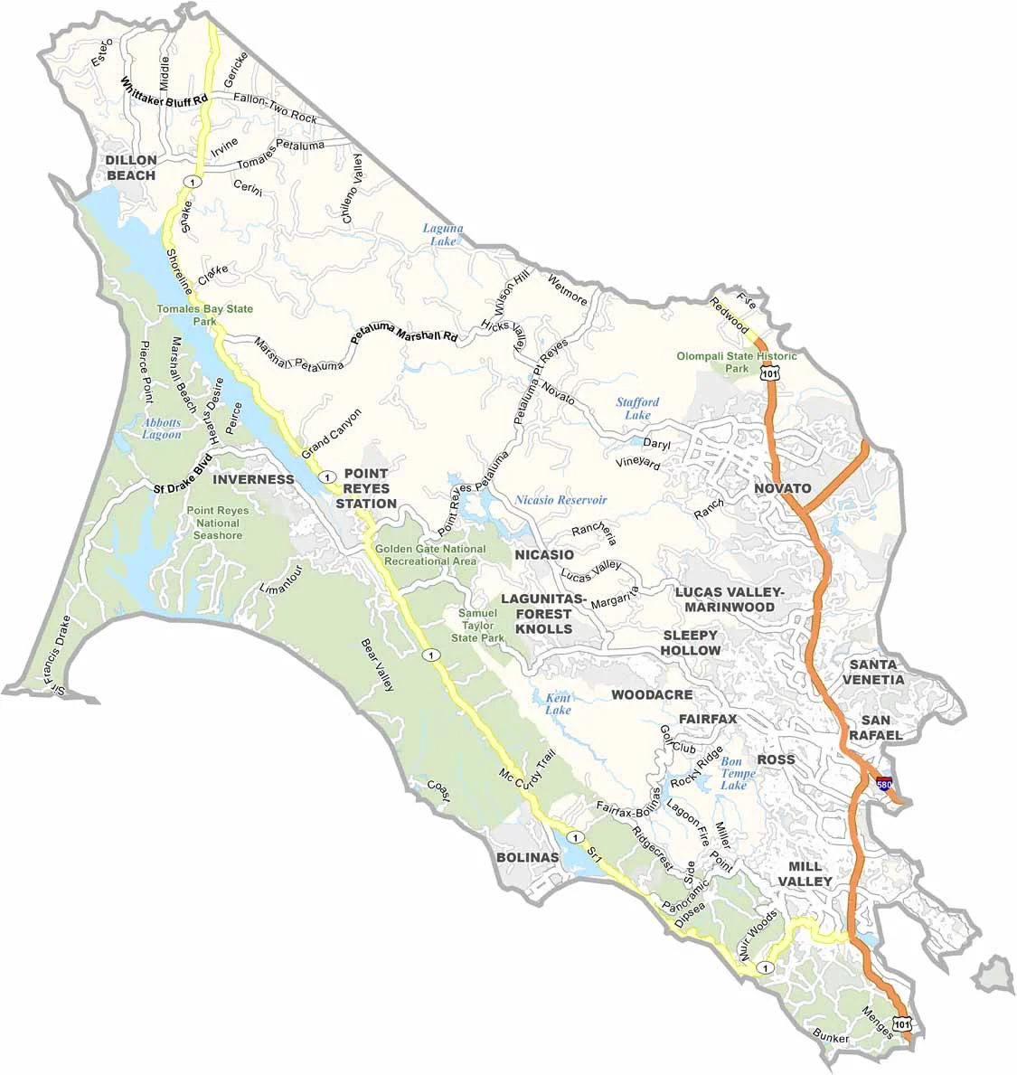
Marin County is located just north of San Francisco, across the Golden Gate Bridge. It’s known for beautiful scenery, upscale communities, and spectacular homes overlooking the bay and Pacific coast.
The county is home to Muir Woods National Monument, where towering redwoods create a peaceful forest landscape, and Point Reyes National Seashore, famous for rugged coastline, historic lighthouses, and fresh oysters. Filmmaker George Lucas also established Lucasfilm’s Skywalker Ranch in Marin County.
Marin has a strong reputation for organic food, outdoor recreation, and wellness culture. It’s one of California’s more affluent counties, and the high cost of living reflects that. With redwood forests, coastal cliffs, and stunning views, Marin County offers a polished but deeply natural side of the Bay Area.
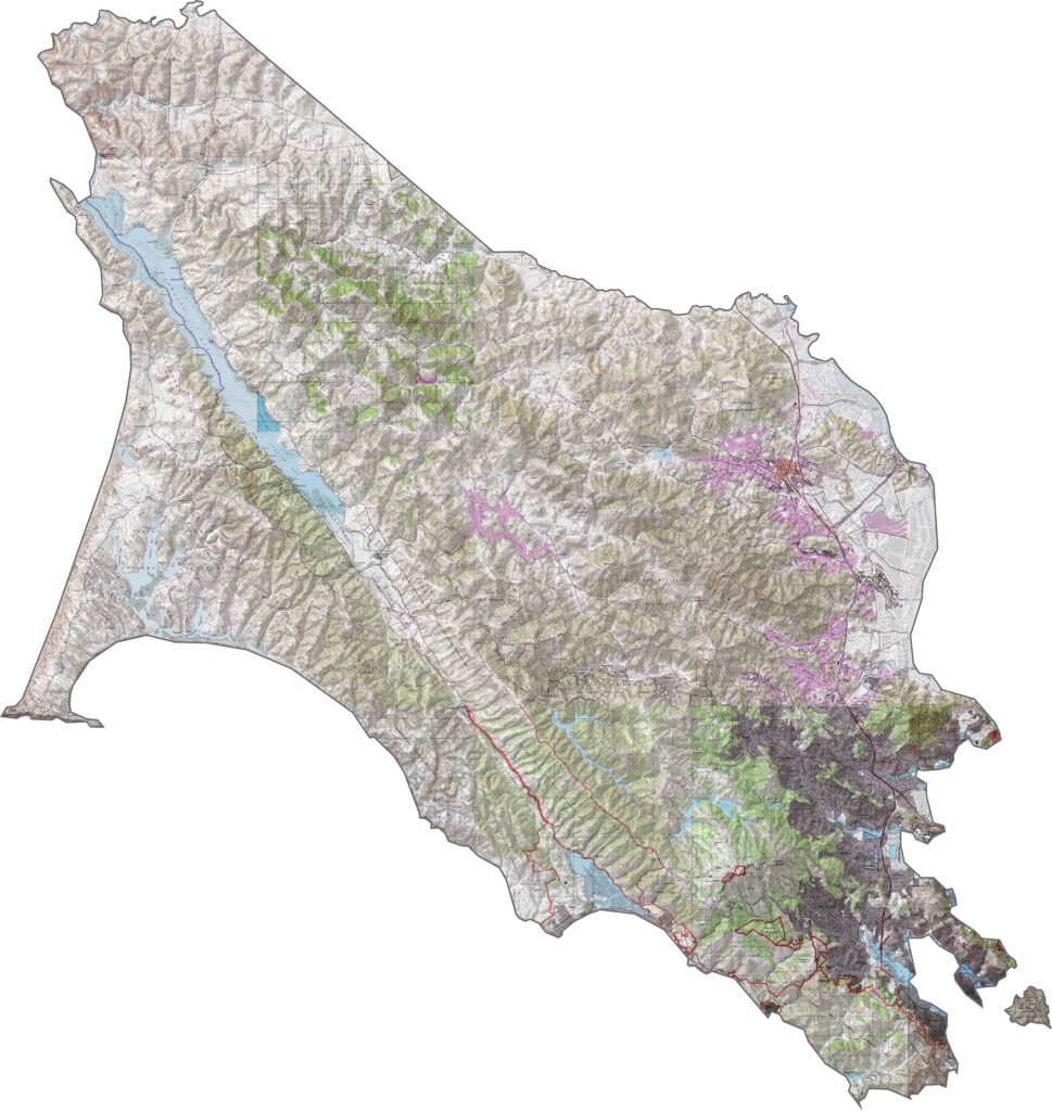
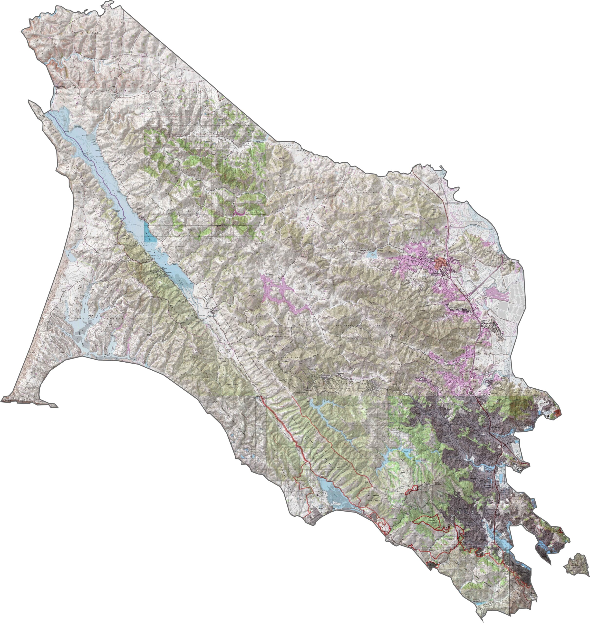
This topographic map highlights Marin County’s distinctive peninsula landscape between the Pacific Ocean and San Francisco Bay. The detailed contours reveal coastal headlands, rolling hills, valleys, and the prominent slopes of Mount Tamalpais.
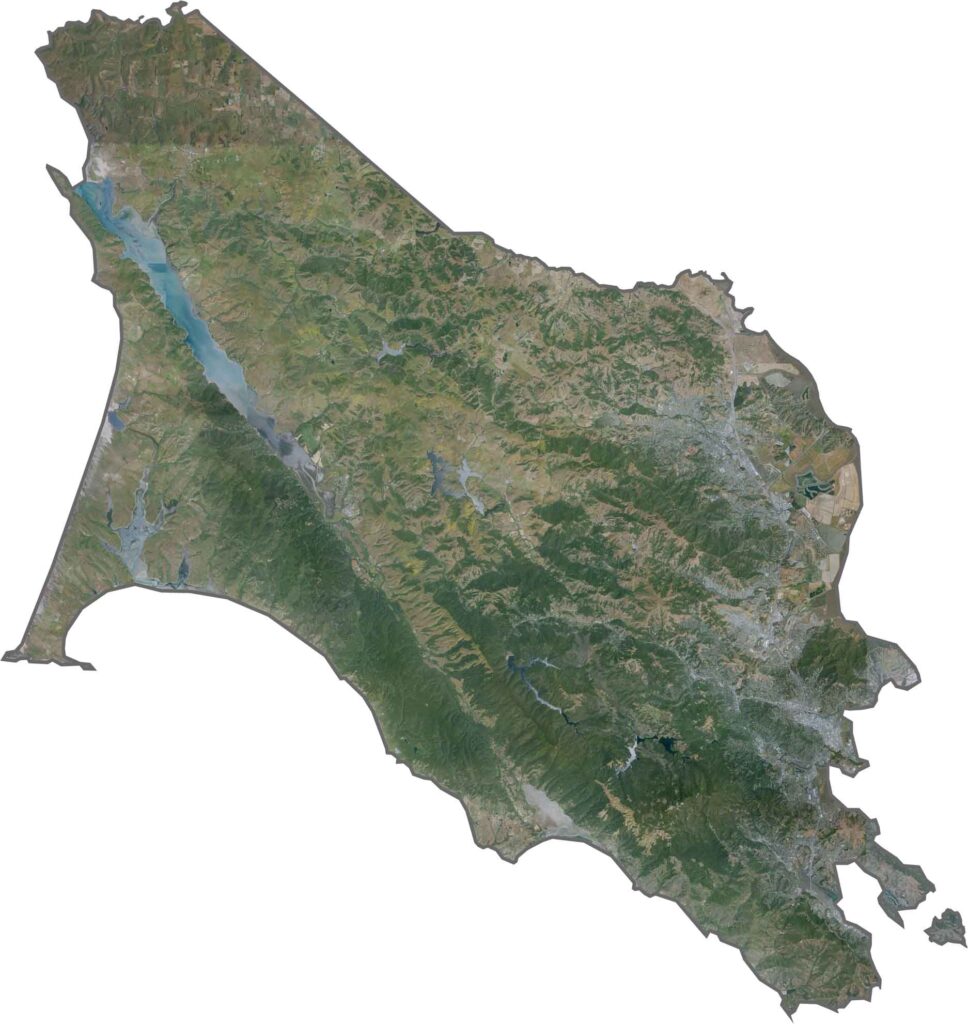
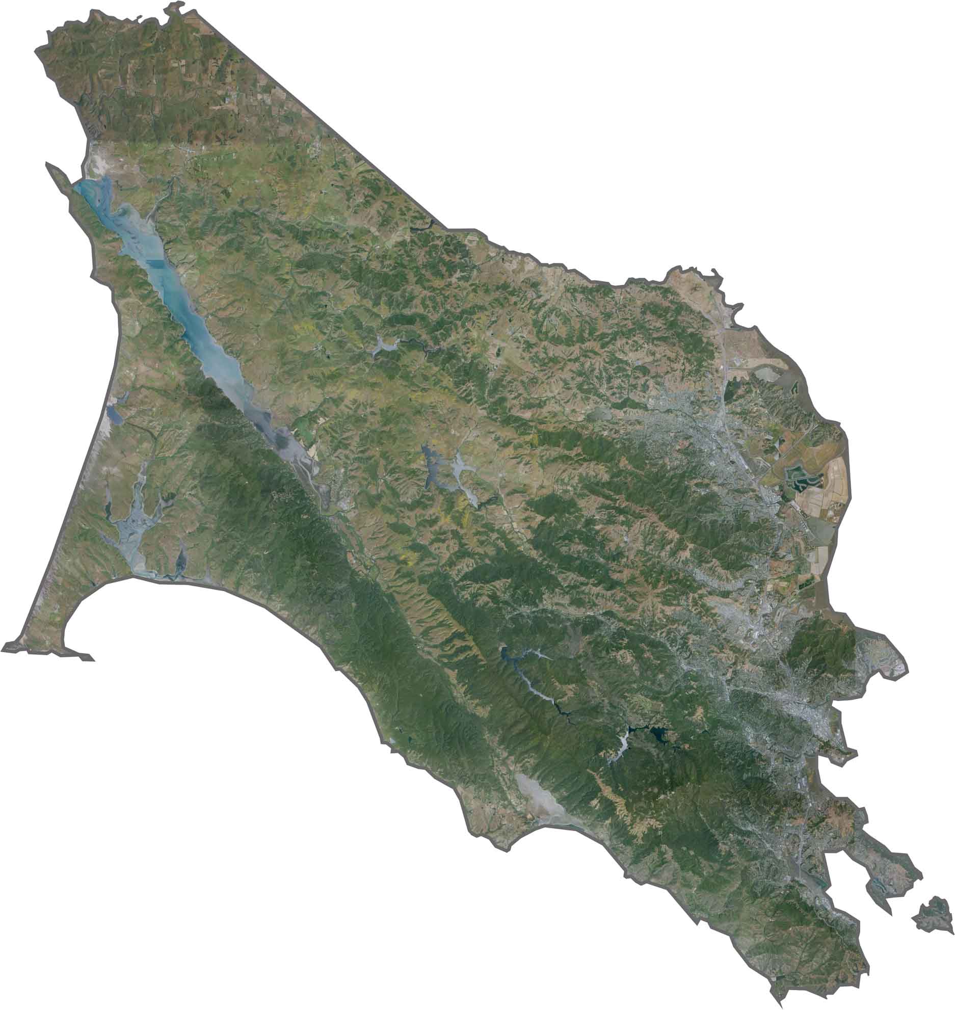
This satellite map shows Marin County’s unique geography, with Pacific shorelines and San Francisco Bay surrounding a landscape of hills, valleys, and protected open spaces. Point Reyes extends westward into the Pacific, creating one of the county’s most distinctive features.
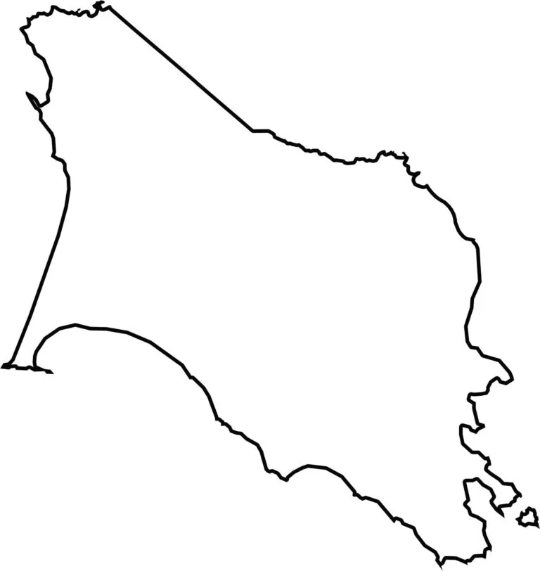
This blank map outlines Marin County’s peninsula shape just north of San Francisco. Surrounded by water on three sides, the simple outline clearly shows the county’s distinctive geography, with Point Reyes extending westward.








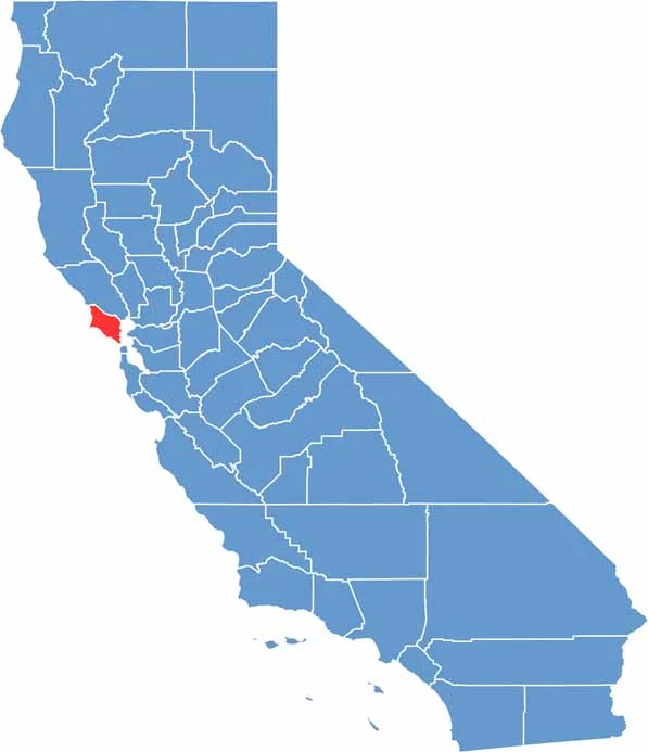
Ever wonder how California’s 58 counties are organized? Our California county map lays them all out, from the Pacific Coast to the vast desert regions. Explore the map to find the counties you know—and perhaps discover a few you don’t.